Haninge Municipality
Located in Stockholm County, Sweden Coordinates: 59°10′26″ N 18°09′18″ E
- Population
- 101,391
- 101.4K
- Elevation
- 59 m
- above sea level
- Local time
- UTC+01:00
- Europe/Stockholm · UTC+01:00
- Places inside
- 23
- listed under Haninge Municipality
About Haninge Municipality
Haninge Municipality is a district. Location: Stockholm County, Sweden. Population: 101,391.
In comparison
- 2 sights and natural places within 10 km Årsta Castle, Mejsgarn
- Listed here: Village: 11, Municipality: 3, Island: 2, Natural site: 2
Places in Haninge Municipality
23 places-
Haninge Town75K
-
Österhaninge Municipality54.6K
-
Handen City11.5K
-
Västerhaninge-Muskö Municipality17.7K
-
Jordbro Town10.8K
-
Vendelsö Village3.7K
-
Dalarö-Ornö-Utö Municipality2.7K
-
Dalarö Village1.8K
-
Årsta Havsbad Village389
-
Muskö Village271
-
Östorp Village242
-
Lyckebyn Village134
-
Österhaninge Village131
-
Hemfosa Village125
-
Ornö Village77
-
Dåntorp Village75
-
Utlida Village60
-
Årsta Castle Historic site
-
Fredagen Island
-
Höggarn Natural site
-
Killingen Natural site
-
Långholmen Island
-
Ornö Mountain
Nature and heritage in Haninge Municipality
-
Furuskaten Natural site, Muskö socken
-
Lilla Stenholmen Island, Muskö socken
-
Gåssten Island, Ornö socken
-
Furholmen Island, Muskö socken
-
Lilla Segholmen Island, Ornö socken
-
Dänholmen Island, Ornö socken
Nearby attractions & nature
Everything nearby-
Mejsgarn Island, Stockholm County8.5 km SE
-
Frönäsudd Natural site, Stockholm County10 km S
-
Björnö Island, Stockholm County11 km SE
-
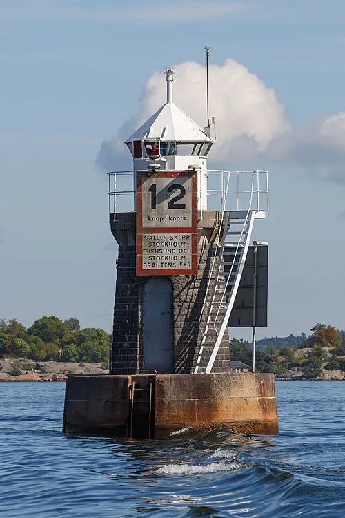 Blockhusudden Landmark, Stockholm County16 km N
-
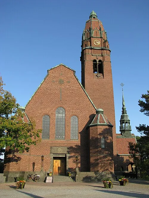 Uppenbarelsekyrkan Attraction, Boo socken14 km NE
-
Lökholmen Island, Stockholm County10 km NE
Sources & licences
Data last updated: