Kungshatt
Located in Stockholm County, Sweden Coordinates: 59°18′00″ N 17°53′00″ E
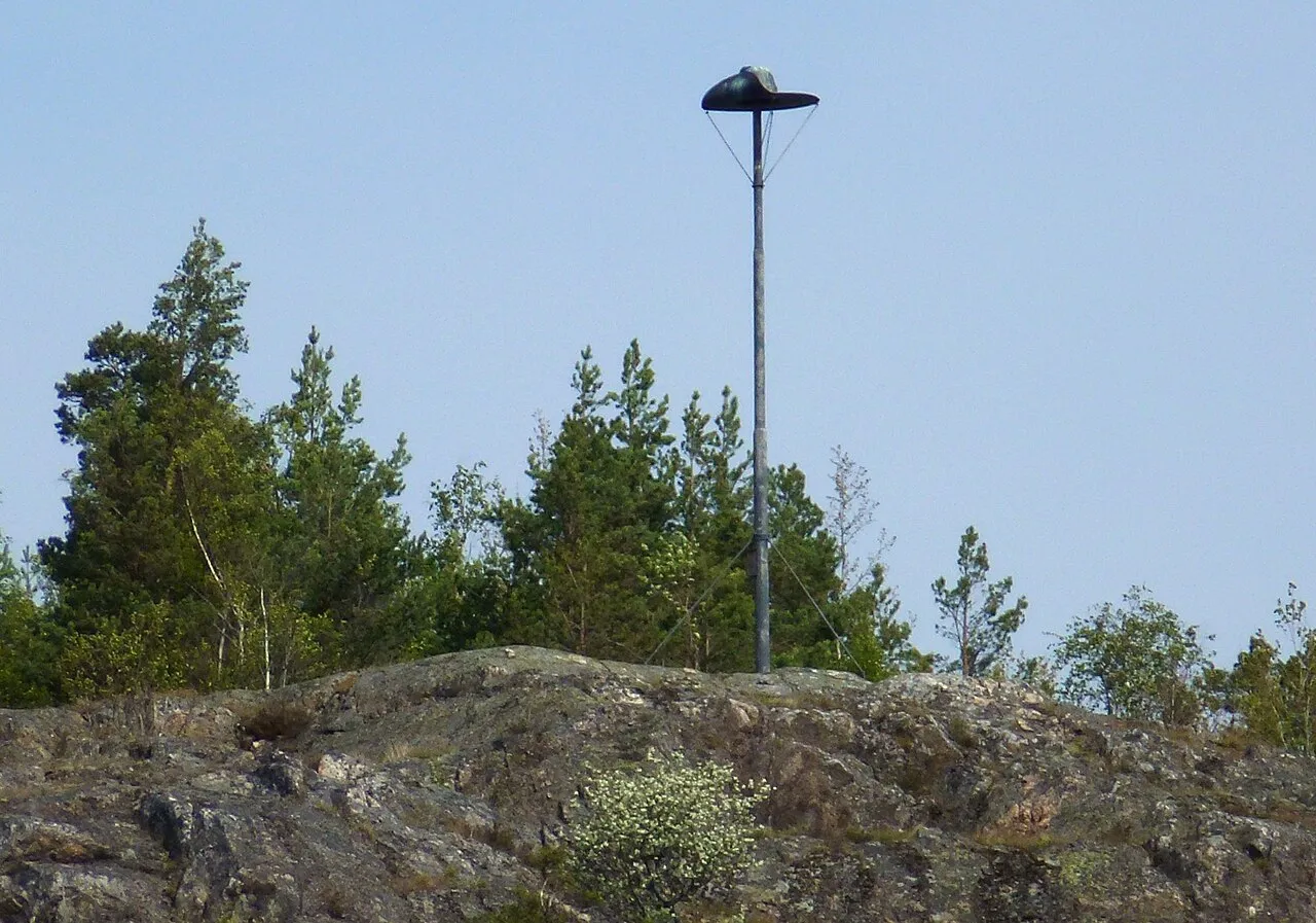
- Elevation
- 33 m
- above sea level
- Local time
- UTC+01:00
- Europe/Stockholm · UTC+01:00
About Kungshatt
Kungshatt is an island. Location: Stockholm County, Sweden.
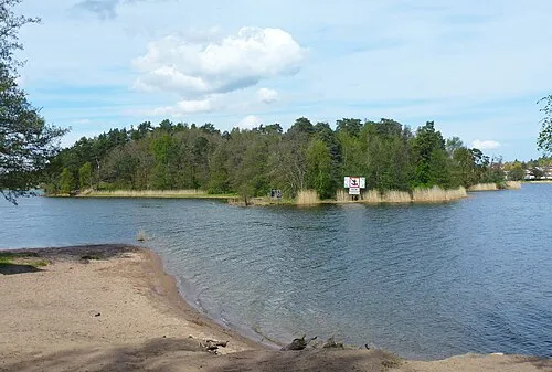
Kungshatt (Swedish pronunciation: [kɵŋsˈhatː]) is a small island in Lake Mälaren, Stockholm, Sweden. Roughly 1.9 square kilometers in area, it has a very small year-round population, and a number of summer houses. The island has an independent water supply, but receives its electricity from the mainland. The island is named after the copper hat put in place on top of a cliff facing towards Vårberg.
Read more on Wikipedia Text: Wikipedia contributors · CC BY-SA 4.0 · shortened
At a glance
- Area
- 1.9 km²
Source: Wikidata
In comparison
- 3 sights and natural places within 10 km Lovön, Tranebergsbron
Nearest towns and villages
-
Skärholmen Municipality, Stockholm Municipality2.9 km SE
-
S:t Mikael Municipality, Huddinge Municipality4.2 km SE
-
Segeltorp Neighbourhood, Huddinge Municipality3.8 km SE
-
Parksidan Village, Ekerö Municipality3 km SW
-
Drottningholm Village, Ekerö Municipality2.8 km N
-
Ekerö City, Ekerö Municipality4.2 km W
Nearby attractions & nature
Everything nearby-
 Lovön Island, Stockholm County4.7 km NW
-
 Helgeandsholmen Island, Stockholm County11 km E
-
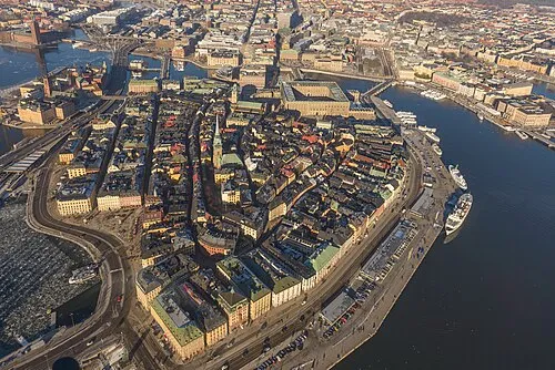 Stadsholmen Island, Stockholm11 km E
-
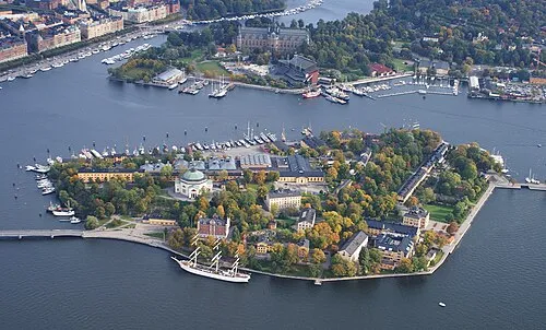 Skeppsholmen Island, Stockholm County12 km E
-
 Tranebergsbron Landmark, Stockholm7.4 km NE
-
Bockholmen Island, Stockholm County13 km NE
-
 Kaninholmen Island, Stockholm County13 km NE
-
Edebyholme Island, Stockholm County11 km SW
Sources & licences
Data last updated: · 2 independent sources