Kramfors Kommun
Located in Västernorrland County, Sweden Coordinates: 62°58′21″ N 17°55′22″ E
- Population
- 17,428
- 17.4K
- Elevation
- 153 m
- above sea level
- Local time
- UTC+01:00
- Europe/Stockholm · UTC+01:00
- Places inside
- 30
- listed under Kramfors Kommun
About Kramfors Kommun
Kramfors Kommun is a district. Location: Västernorrland County, Sweden. Population: 17,428.
In comparison
- 3 sights and natural places within 10 km Butjärnsberget, Litanön
- Listed here: Village: 14, Municipality: 10, Island: 5, Mountain: 1
Places in Kramfors Kommun
30 places-
Gudmundrå Municipality8.4K
-
Ytterlännäs Municipality3.5K
-
Nora-Skog Municipality1.6K
-
Bjärtrå Municipality1.5K
-
Nordingrå Municipality1.4K
-
Ullånger Municipality1.2K
-
Vibyggerå Municipality895
-
Torsåker Village873
-
Frånö Village679
-
Docksta Village401
-
Styrnäs Municipality409
-
Strömnäs Village390
-
Klockestrand Village327
-
Dal Municipality351
-
Sandslån Village313
-
Nordingrå Village282
-
Torsåker Municipality298
-
Mjällom Village243
-
Bjärtrå Village167
-
Prästmon Village158
-
Svanö Village157
-
Omne Village76
-
Fäberget Mountain
-
Grönsviksflasen Island
-
Jungfruskäret Island
-
Killingholmen Island
-
Långängesholmarna Island
-
Mädan Village
-
Norrfällsviken Village
-
Rossön Island
Nature and heritage in Kramfors Kommun
-
Latberget Mountain, Kramfors socken
-
Butjärnsberget Mountain, Bjärtrå socken
-
Hammarshöjden Mountain, Ytterlännäs socken
-
Björnberget Mountain, Ytterlännäs socken
-
Grusholmen Island, Kramfors socken
-
Litanön Island, Bjärtrå socken
Nearby attractions & nature
Everything nearby-
Nordviksnäset Natural site, Västernorrland County14 km S
-
Gullön Natural site, Västernorrland County15 km SE
-
Granholmen Island, Västernorrland County13 km S
-
Brattnäset Natural site, Västernorrland County19 km SE
-
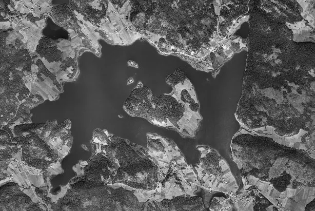 Prästön Island, Västernorrland County19 km E
-
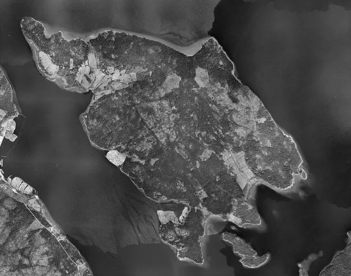 Åbordsön Island, Västernorrland County22 km S
Sources & licences
Data last updated: