Ullånger
Located in Kramfors Kommun, Västernorrland County Coordinates: 63°01′05″ N 18°11′04″ E
- Population
- 1,160
- 1.2K
- Elevation
- 30 m
- above sea level
- Local time
- UTC+01:00
- Europe/Stockholm · UTC+01:00
- Places inside
- 1
- listed under Ullånger
About Ullånger
Ullånger is a municipality. Location: Kramfors Kommun, Västernorrland County. Population: 1,160. Elevation: 30 m.
In comparison
- No. 6 of 22 places in Kramfors Kommun by population
- Nearest larger town: Nordingrå, 11 km SE
Places in Ullånger
1 place-
Ullånger socken Village
Nearby attractions & nature
Everything nearby-
Fäberget Mountain, Kramfors Kommun7.1 km E
-
Lillholmen Island, Västernorrland County11 km E
-
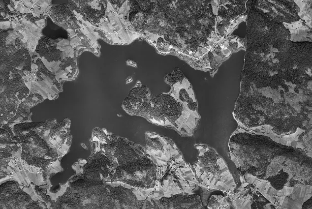 Prästön Island, Västernorrland County12 km S
-
Högsvedjeberget Mountain, Nätra socken16 km NE
-
Butjärnsberget Mountain, Bjärtrå socken14 km W
-
Långängesholmarna Island, Kramfors Kommun21 km S
-
Killingholmen Island, Kramfors Kommun22 km S
-
Jungfruskäret Island, Kramfors Kommun23 km S
Sources & licences
Data last updated: