Hisingen
Located in Västra Götaland County, Sweden Coordinates: 57°46′00″ N 11°53′00″ E
- Elevation
- 17 m
- above sea level
- Local time
- UTC+01:00
- Europe/Stockholm · UTC+01:00
- Population
- 141,199
- 141.2K
About Hisingen
Hisingen is an island. Location: Västra Götaland County, Sweden. Population: 141,199.
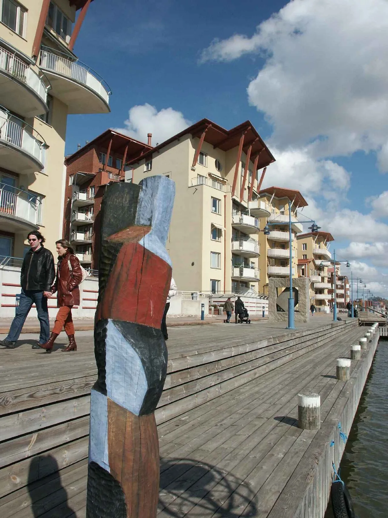
Hisingen (Swedish pronunciation: [ˈhîːsɪŋɛn]) is the fifth-largest island of Sweden (after Gotland, Öland, Södertörn and Orust), with an area of 199 km2 (77 sq mi). It is a river island, formed by the split of the Göta Älv at Bohus, and is defined to the east and south by the main arm of that river, to the north by the smaller arm (known as the Nordre Älv), and to the west by the Kattegat. The southern part of Hisingen is extensively urbanised, representing the northern suburbs of the city of Gothenburg.
Read more on Wikipedia Text: Wikipedia contributors · CC BY-SA 4.0 · shortened
At a glance
- Length
- 19 km
- Area
- 192 km²
Source: Wikidata
In comparison
- 11 sights and natural places within 10 km Hisingen, Lagmansholmen
Nearest towns and villages
-
Björlanda Town, Gothenburg Municipality3 km W
-
Tuve Municipality, Gothenburg Municipality3 km E
-
Björlanda Municipality, Gothenburg Municipality3.5 km W
-
Nolvik Village, Gothenburg Municipality3.1 km W
-
Säve Municipality, Gothenburg Municipality4.7 km NE
-
Kvisljungeby Village, Gothenburg Municipality3.5 km SW
Nearby attractions & nature
Everything nearby-
Hisingen Natural site, Västra Götaland County2.1 km SW
-
Lagmansholmen Natural site, Västra Götaland County3.8 km N
-
Grågåseholmen Island, Västra Götaland County4.4 km NW
-
Lilla Hästholmen Island, Västra Götaland County6.2 km W
-
Karholmen Natural site, Västra Götaland County7.5 km W
-
Långholmen Island, Västra Götaland County7 km W
-
Hjärtholmen Island, Västra Götaland County10 km SW
-
Risholmen Island, Västra Götaland County9.5 km SW
More lakes, rivers and coasts in Sweden
-
 Hunneskär Island, Västra Götaland County10 km S
-
Bastö Island, Torsby socken11 km W
-
Koholmen Island, Västra Götaland County11 km NW
-
 Långholmen Island, Västra Götaland County12 km SW
-
Fjärholmen Island, Västra Götaland County11 km W
-
Ängholmen Island, Västra Götaland County12 km S
Sources & licences
Data last updated: · 2 independent sources