Olstorp
Located in Lerum, Västra Götaland County Coordinates: 57°49′22″ N 12°16′37″ E
- Population
- 1,017
- 1K
- Elevation
- 98 m
- above sea level
- Local time
- UTC+01:00
- Europe/Stockholm · UTC+01:00
About Olstorp
Olstorp is a village. Location: Lerum, Västra Götaland County. Population: 1,017. Elevation: 98 m.
Olstorp is a locality situated in Lerum Municipality, Västra Götaland County, Sweden. It had 1,281 inhabitants in 2010.
Read more on Wikipedia Text: Wikipedia contributors · CC BY-SA 4.0 · shortened
At a glance
- Area
- 1.6 km²
Source: Wikidata
In comparison
- No. 8 of 15 places in Lerum by population
- Nearest larger town: Stora Lundby, 1 km NE
Airports nearest to Olstorp
- Göteborg Landvetter Airport (GOT) Göteborg 18 km
- Trollhättan-Vänersborg Airport (THN) Trollhättan 55 km
- Jönköping Airport (JKG) Jönköping 107 km
Straight-line distance; airports with scheduled flights only. Source: OurAirports (public domain).
Nearby attractions & nature
Everything nearby-
Storåsen Mountain, Kilanda socken9.8 km N
-
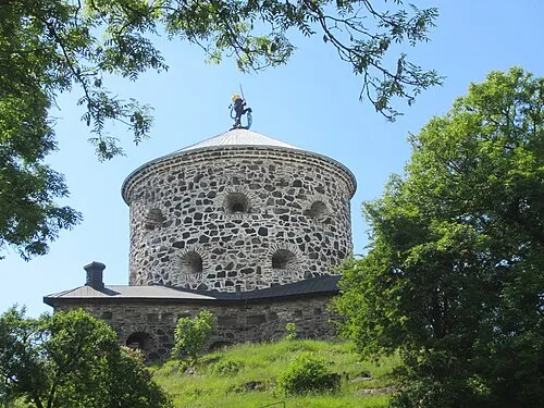 Lion Sconce Historic site, Gothenburg21 km SW
-
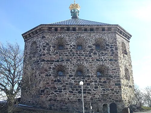 Crown Redoubt Historic site, Gothenburg24 km SW
-
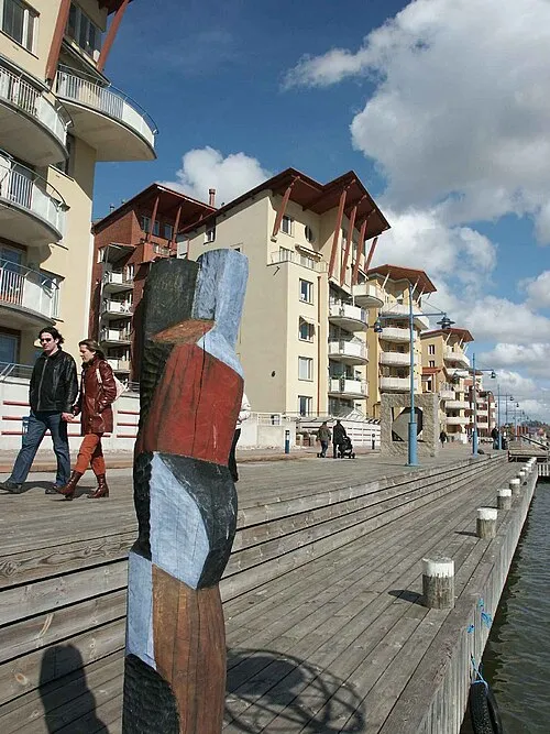 Hisingen Island, Västra Götaland County24 km W
-
Bokö Island, Västra Götaland County12 km NE
-
Lagmansholmen Natural site, Västra Götaland County25 km W
Sources & licences
Data last updated: · 2 independent sources