Säntis
Located in Appenzell Innerrhoden, Switzerland Coordinates: 47°14′58″ N 9°20′36″ E
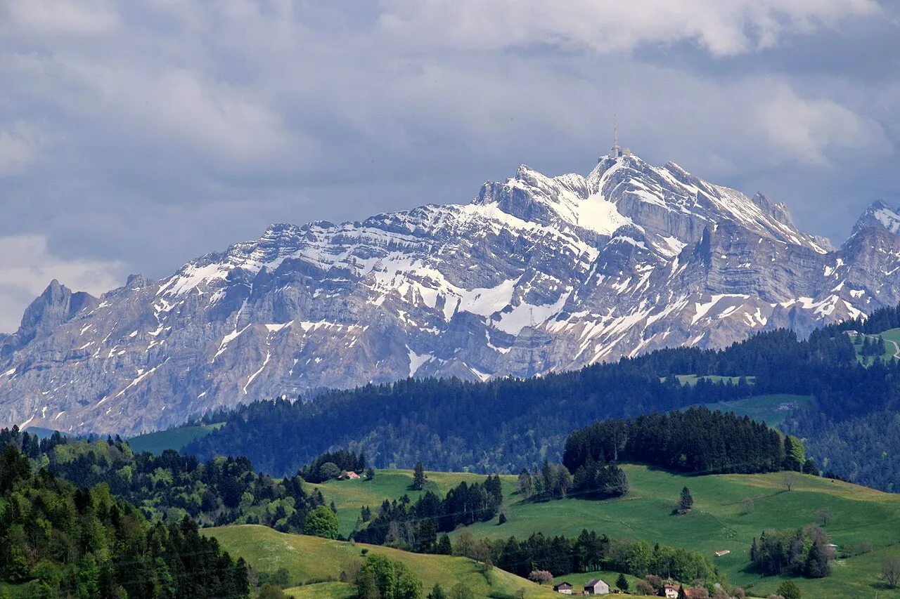
- Elevation
- 2,502 m
- above sea level
- Local time
- UTC+01:00
- Europe/Zurich · UTC+01:00
About Säntis
Säntis is a mountain. Location: Appenzell Innerrhoden, Switzerland. Elevation: 2,502 m.
At 2,501.9 metres (8,208 ft) above sea level, Säntis (German pronunciation: [ˈzɛntɪs]) is the highest mountain in the Alpstein massif of northeastern Switzerland. It is also the culminating point of the whole Appenzell Alps, between Lake Walen and Lake Constance. Shared by three cantons, the mountain is a highly visible landmark thanks to its exposed northerly position within the Alpstein massif.
Read more on Wikipedia Text: Wikipedia contributors · CC BY-SA 4.0 · shortened
At a glance
- Topographic prominence
- 2,021 m
Source: Wikidata
In comparison
- No. 3413 of 7660 mountains in Switzerland by elevation
- 108 sights and natural places within 10 km Sendeturm Säntis, Blauschnee
Nearest towns and villages
-
Schwägalp Village, Hundwil2.1 km NW
-
Wildhaus Village, Wildhaus-Alt St. Johann4.9 km S
-
Gmeinenwisen Village, Hundwil2.1 km W
-
Wildhaus-Alt St. Johann Municipality, Wahlkreis Toggenburg6.4 km SW
-
Schwarzegg Village, Nesslau2.8 km W
-
Sibenbrünnen Village, Nesslau2.8 km W
Nearby attractions & nature
Everything nearby-
Blauschnee Natural site, Schwende-Rüte0.3 km N
-
Chalbersäntis Mountain, Wildhaus-Alt St. Johann0.4 km SE
-
Grüenböhl Mountain, Schwende-Rüte0.6 km NE
-
Gir Mountain, Wildhaus-Alt St. Johann0.7 km SW
-
Grauchopf Mountain, Hundwil0.8 km W
-
Spitzbergli Mountain, Wildhaus-Alt St. Johann0.9 km SW
-
Hüenerberg Mountain, Schwende-Rüte1.1 km N
-
Hundstei Mountain, Wildhaus-Alt St. Johann1.2 km S
Sources & licences
Data last updated: · 2 independent sources