Appenzell Innerrhoden
Local name: Kanton Appenzell Innerrhoden
Located in Switzerland Coordinates: 47°18′45″ N 9°24′20″ E
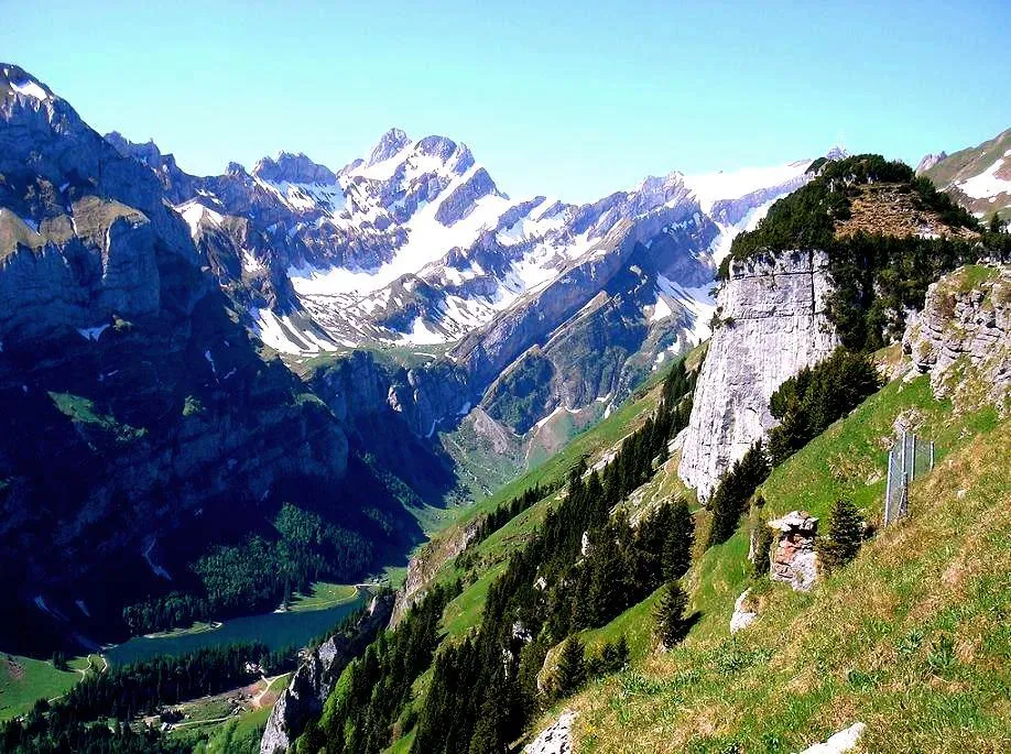
- Population
- 16,293
- 16.3K
- Elevation
- 1,171 m
- above sea level
- Local time
- UTC+01:00
- Europe/Zurich · UTC+01:00
- Places inside
- 2
- listed under Appenzell Innerrhoden
About Appenzell Innerrhoden
Appenzell Innerrhoden is a region. Location: Switzerland. Population: 16,293.
Canton of Appenzell Innerrhoden (German: Kanton Appenzell Innerrhoden [ˈapn̩tsɛl ˈɪnərˌroːdn̩] ; Romansh: Chantun Appenzell Dadens; French: Canton d'Appenzell Rhodes-Intérieures; Italian: Canton Appenzello Interno), in English sometimes Appenzell Inner-Rhodes, is one of the 26 cantons forming the Swiss Confederation. It is composed of five districts. The seat of the government and parliament is Appenzell. It is traditionally considered a "half-canton", the other half being Appenzell Ausserrhoden.
Read more on Wikipedia Text: Wikipedia contributors · CC BY-SA 4.0 · shortened
At a glance
- Built
- 1513
- Area
- 172 km²
Source: Wikidata
In comparison
- 92 sights and natural places within 10 km Chlosterspitz, Kloster Appenzell
- Listed here: District: 1, Mountain: 1
Places in Appenzell Innerrhoden
2 places-
Appenzell Inner Rhodes District16.4K
-
Säntis Mountain
Largest cities and towns
-
Appenzell Municipality, Appenzell Inner Rhodes5.8K
-
Oberegg Municipality, Appenzell Inner Rhodes1.9K
-
Appenzell City, Appenzell5.6K
-
Gonten Municipality, Appenzell Inner Rhodes1.4K
-
Schlatt-Haslen Municipality, Appenzell Inner Rhodes1.1K
-
Haslen City, Schlatt-Haslen638
-
Oberegg District Village, Oberegg1.8K
-
Gonten Village, Gonten1.4K
Nature and heritage in Appenzell Innerrhoden
-
Ruchbüel Mountain, Schwende-Rüte
-
Saxer First Mountain, Schwende-Rüte
-
Fälentürm Mountain, Schwende-Rüte
-
Fälenschafberg Mountain, Schwende-Rüte
-
Nadlenspitz Mountain, Schwende-Rüte
-
Rot Turm Mountain, Schwende-Rüte
Other regions in Switzerland
-
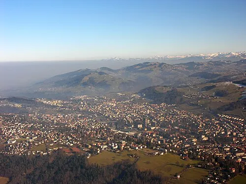 Canton of St. Gallen Region, Switzerland14 km SW
-
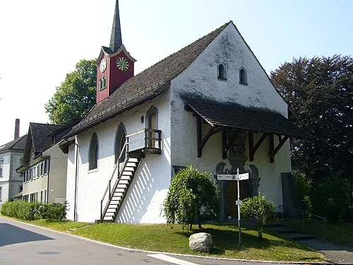 Thurgau Region, Switzerland37 km NW
-
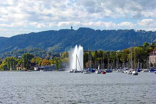 Canton of Zurich Region, Switzerland57 km W
-
Canton of Appenzell Ausserrhoden Region, Switzerland11 km NW
-
Bezirk Mittelland District, Canton of Appenzell Ausserrhoden7.5 km N
-
Bezirk Hinterland District, Canton of Appenzell Ausserrhoden12 km NW
Sources & licences
Data last updated: · 2 independent sources