Canton of Appenzell Ausserrhoden
Local name: Appenzell Ausserrhoden
Located in Switzerland Coordinates: 47°21′47″ N 9°16′58″ E
- Population
- 55,309
- 55.3K
- Elevation
- 883 m
- above sea level
- Local time
- UTC+01:00
- Europe/Zurich · UTC+01:00
- Places inside
- 3
- listed under Canton of Appenzell Ausserrhoden
- Airports
- ACH Sankt Gallen Altenrhein Airport25 km
- FDH Bodensee Airport Friedrichshafen38 km
About Canton of Appenzell Ausserrhoden
Canton of Appenzell Ausserrhoden is a region. Location: Switzerland. Population: 55,309.
Canton of Appenzell Ausserrhoden (German: Kanton Appenzell Ausserrhoden [ˈapn̩tsɛl ˈaʊsərˌroːdn̩] ; Romansh: Chantun Appenzell Dadora; French: Canton d'Appenzell Rhodes-Extérieures; Italian: Canton Appenzello Esterno), in English sometimes Appenzell Outer Rhodes, is one of the 26 cantons forming the Swiss Confederation. It is composed of twenty municipalities. The seat of the government and parliament is Herisau, and the seat of judicial authorities are in Trogen.
Source: Wikipedia · CC BY-SA 4.0
Places bordering Canton of Appenzell Ausserrhoden
- Canton of St. Gallen
- Appenzell Innerrhoden
Climate of Canton of Appenzell Ausserrhoden
Best months for sightseeingBest months for sightseeing: June–September.
This month · November
A cold month
Day 5° · Night -1° · Rain 94 mm
- Hottest month
- July (day 21°)
- Coldest month
- January (night -4°)
- Wettest month
- July (150 mm)
- Driest month
- January (63 mm)
Bars: average monthly low and high temperature. Below: precipitation. Monthly averages for 1970–2000 at about 18 km resolution, adjusted for elevation. Highlighted months are mild and relatively dry. Source: WorldClim 2.1 (CC BY 4.0).
Show values as a table
| Month | Jan | Feb | Mar | Apr | May | Jun | Jul | Aug | Sep | Oct | Nov | Dec |
|---|---|---|---|---|---|---|---|---|---|---|---|---|
| Average high (°C) | 1° | 3° | 7° | 11° | 16° | 18° | 21° | 20° | 17° | 11° | 5° | 2° |
| Average low (°C) | -4° | -4° | -1° | 1° | 6° | 9° | 11° | 11° | 8° | 4° | -1° | -3° |
| Precipitation (mm) | 63 | 71 | 74 | 98 | 116 | 146 | 150 | 140 | 108 | 83 | 94 | 80 |
Other places to visit in this season: June July August September
How to get to Canton of Appenzell Ausserrhoden
The nearest airport is Sankt Gallen Altenrhein Airport (ACH), 25 km to the northeast as the crow flies. For international flights: Bodensee Airport Friedrichshafen (FDH) (38 km). The nearest large city is Winterthur, 45 km to the west.
Airports
- Sankt Gallen Altenrhein Airport (ACH) St. Gallen 25 kmnortheast
- Bodensee Airport Friedrichshafen (FDH) Friedrichshafen 38 kmnortheast
- Zürich Airport (ZRH) Zurich 56 kmwest
Nearby large cities
- Winterthur Population: 111.8K 45 kmwest
- Zurich Population: 415.4K 55 kmwest
- Reutlingen Population: 112.6K 126 kmnorth
- Ulm Population: 120.5K 127 kmnortheast
- Freiburg im Breisgau Population: 237.5K 128 kmnorthwest
Straight-line distances; road distances are longer. Airport data: OurAirports.
Places in Canton of Appenzell Ausserrhoden
3 placesBar: population relative to the most populous place in this list.
Largest cities and towns
-
Herisau Municipality, Bezirk Hinterland15.8K
-
Teufen (AR) Municipality, Bezirk Mittelland6.4K
-
Herisau City, Herisau15.7K
-
Heiden Municipality, Bezirk Vorderland4.2K
-
Gais Municipality, Bezirk Mittelland3.1K
-
Speicher Municipality, Bezirk Mittelland4.4K
-
Heiden Village, Heiden4K
-
Urnäsch Municipality, Bezirk Hinterland2.3K
Nature and heritage in Canton of Appenzell Ausserrhoden
Other regions in Switzerland
-
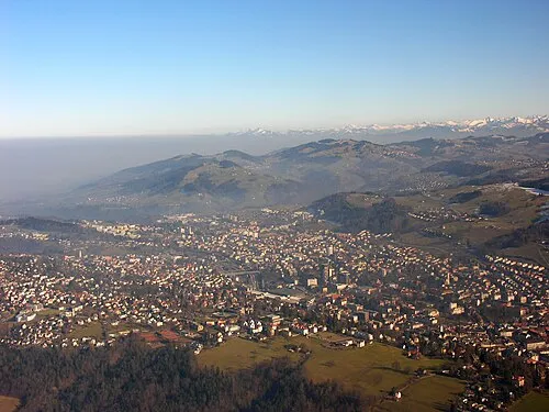 Canton of St. Gallen Region, Switzerland13 km S
-
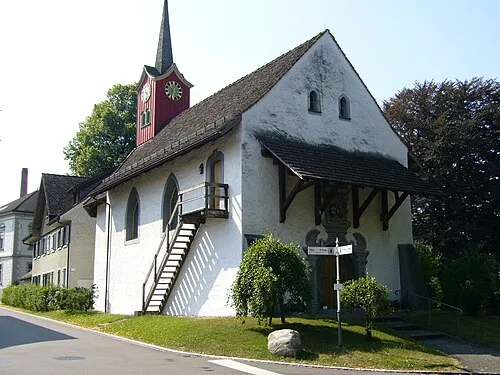 Thurgau Region, Switzerland27 km NW
-
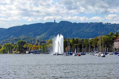 Canton of Zurich Region, Switzerland47 km W
-
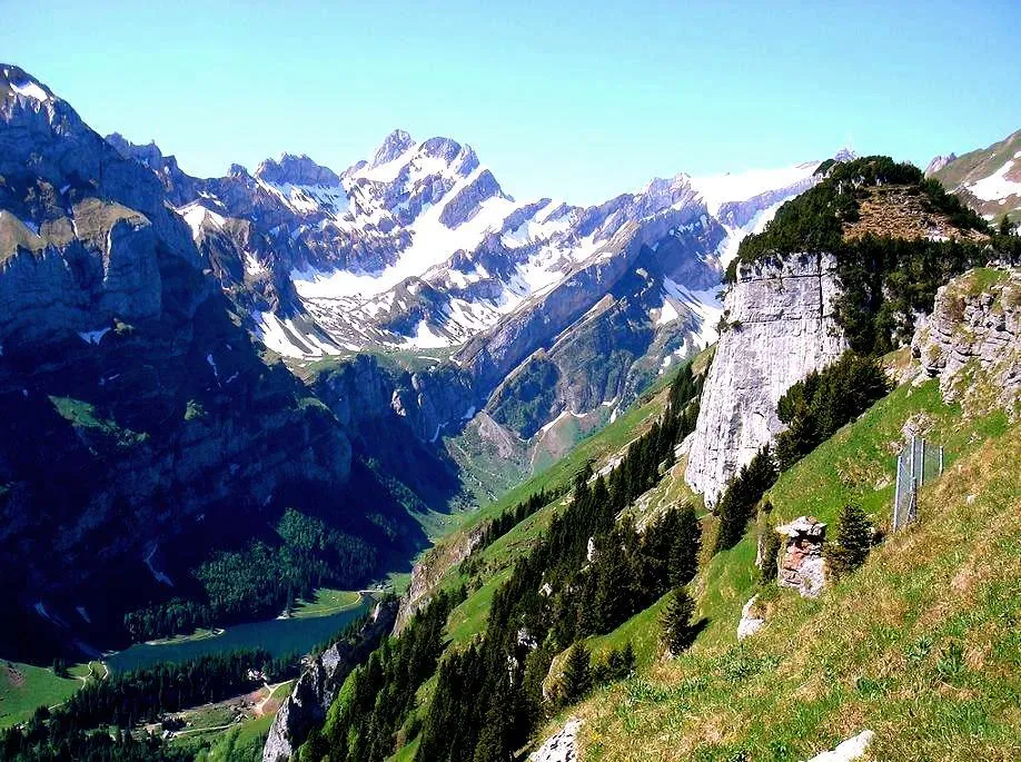 Appenzell Innerrhoden Region, Switzerland11 km SE
-
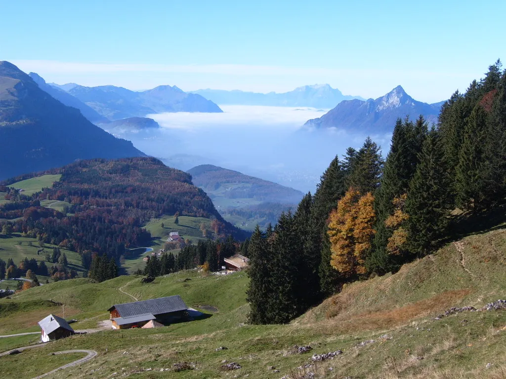 Canton of Schwyz Region, Switzerland55 km SW
-
Wahlkreis Toggenburg District, Canton of St. Gallen11 km SW
Sources & licences
Data last updated: · 2 independent sources