Canton of Schwyz
Local name: Schwyz
Located in Switzerland Coordinates: 47°02′26″ N 8°44′28″ E
- Population
- 163,689
- 163.7K
- Elevation
- 1,448 m
- above sea level
- Local time
- UTC+01:00
- Europe/Zurich · UTC+01:00
- Places inside
- 20
- listed under Canton of Schwyz
- Airports
- ZRH Zürich Airport49 km
- ACH Sankt Gallen Altenrhein Airport79 km
About Canton of Schwyz
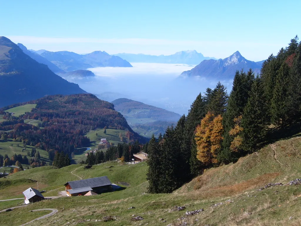
Canton of Schwyz is a region. Location: Switzerland. Population: 163,689.
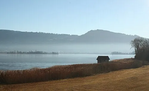
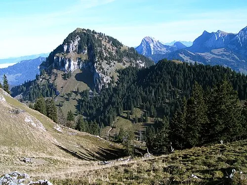
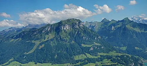
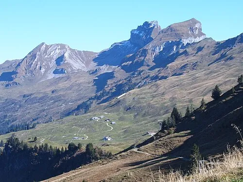
The canton of Schwyz is a canton in central Switzerland between the Alps in the south, Lake Lucerne to the west and Lake Zürich in the north, centred on and named after the town of Schwyz. It is one of the founding cantons of Switzerland; Switzerland's name is derived from the name of the canton, and the flag of Switzerland from its coat of arms. For the history of the name, see Schwyz. The Swiss Federal Charter is on display in Schwyz. Northeast of the town of Schwyz is Einsiedeln Abbey.
Source: Wikipedia · CC BY-SA 4.0
Photos of Canton of Schwyz
-

Chris.urs-o · CC BY-SA 4.0 -

Thomas Woodtli from Zürich, Switzerland · CC BY-SA 2.0 -

Chris.urs-o · CC BY-SA 4.0 -

Chris.urs-o · CC BY-SA 4.0 -

Chris.urs-o · CC BY-SA 4.0


Places bordering Canton of Schwyz
- Canton of Uri
- Canton of Glarus
- Canton of St. Gallen
- Canton of Zurich
- Canton of Zug
- Canton of Lucerne
- Canton of Nidwalden
- Canton of Obwalden
Climate of Canton of Schwyz
This month · November
A wet month
Day 4° · Night -3° · Rain 126 mm
- Hottest month
- July (day 17°)
- Coldest month
- January (night -7°)
- Wettest month
- July (189 mm)
- Driest month
- January (95 mm)
Bars: average monthly low and high temperature. Below: precipitation. Monthly averages for 1970–2000 at about 18 km resolution, adjusted for elevation. Highlighted months are mild and relatively dry. Source: WorldClim 2.1 (CC BY 4.0).
Show values as a table
| Month | Jan | Feb | Mar | Apr | May | Jun | Jul | Aug | Sep | Oct | Nov | Dec |
|---|---|---|---|---|---|---|---|---|---|---|---|---|
| Average high (°C) | 0° | 0° | 3° | 7° | 12° | 15° | 17° | 17° | 13° | 9° | 4° | 1° |
| Average low (°C) | -7° | -6° | -4° | -2° | 3° | 6° | 8° | 8° | 5° | 2° | -3° | -6° |
| Precipitation (mm) | 95 | 101 | 105 | 129 | 142 | 183 | 189 | 179 | 137 | 120 | 126 | 113 |
How to get to Canton of Schwyz
The nearest airport is Zürich Airport (ZRH), 49 km to the north as the crow flies. The nearest large city is Zurich, 39 km to the north.
Airports
- Zürich Airport (ZRH) Zurich 49 kmnorth
- Sankt Gallen Altenrhein Airport (ACH) St. Gallen 79 kmnortheast
- Bodensee Airport Friedrichshafen (FDH) Friedrichshafen 91 kmnortheast
Nearby large cities
- Zurich Population: 415.4K 39 kmnorth
- Winterthur Population: 111.8K 52 kmnorth
- Bern Population: 121.6K 99 kmwest
- Basel Population: 177.6K 105 kmnorthwest
- Freiburg im Breisgau Population: 237.5K 126 kmnorthwest
Straight-line distances; road distances are longer. Airport data: OurAirports.
Places in Canton of Schwyz
20 places- 1 Schwyz District 56.1K
- 2 March District 44.6K
- 3 Bezirk Höfe 29.3K
- 4 Einsiedeln District 15.9K
- 5 Küssnacht District 13.1K
- 6 Gersau District 2.3K
Bar: population relative to the most populous place in this list.
Cities & villages1
- Unterschwändi · Neighbourhood
Mountains & nature6
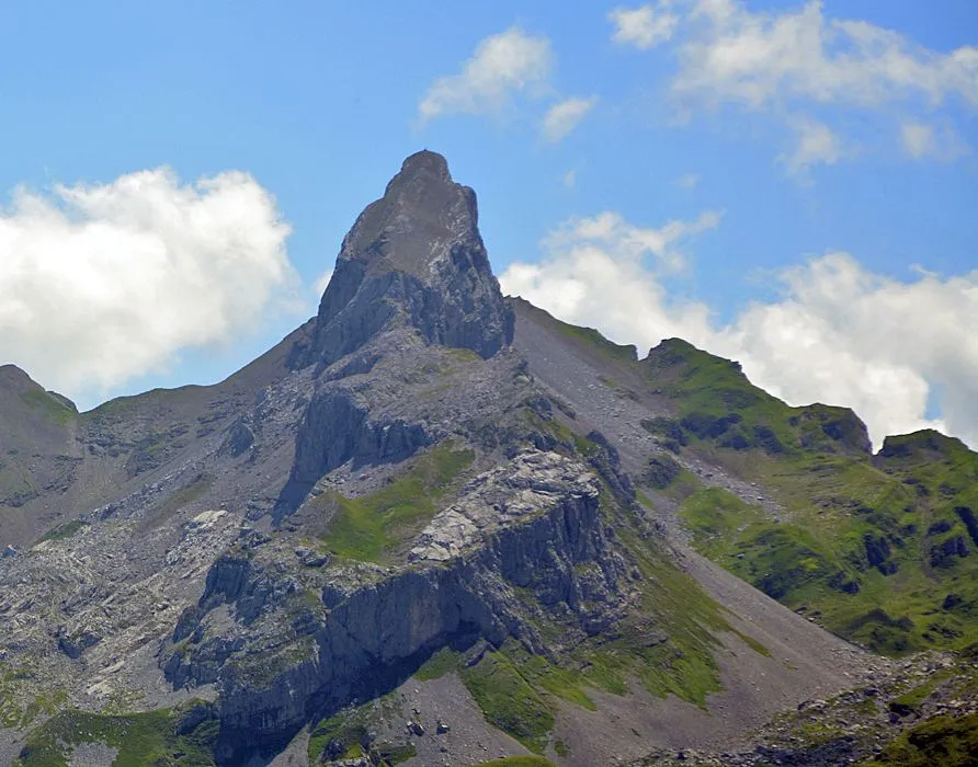
- Hundsruggen · Mountain
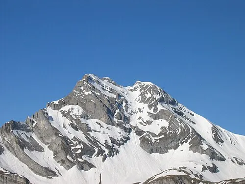
- Rigi · Mountain
- Val di March · Natural site
- Wägital · Natural site
- Walenseeli · Natural site
- Wasserberg · Mountain
Lakes, rivers & coasts5
- Hurden · Island
- Insel Schwanau · Island
- Sihlsee · Lake
- Staldenbach · River
- Wägitalersee · Lake
Heritage & sights2
- Abwasserreinigung Areal Rothenthurm · Historic site
- Burgruine Schwanau · Historic site
Largest cities and towns
-
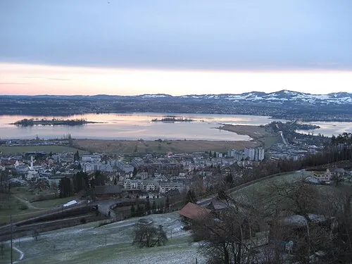 Pfaeffikon Town, Freienbach7.3K
-
Freienbach Municipality, Bezirk Höfe16.5K
-
Schwyz Municipality, Schwyz District15.2K
-
Arth Municipality, Schwyz District12.2K
-
Einsiedeln Municipality, Einsiedeln District16.1K
-
Einsiedeln City, Einsiedeln15.9K
-
Küssnacht (SZ) Municipality, Küssnacht District13.3K
-
Schübelbach Municipality, March District9.2K
Nature and heritage in Canton of Schwyz
Other regions in Switzerland
-
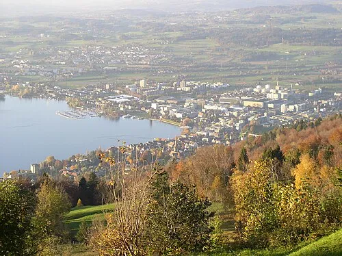 Canton of Zug Region, Switzerland20 km NW
-
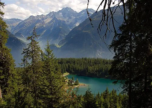 Canton of Uri Region, Switzerland29 km S
-
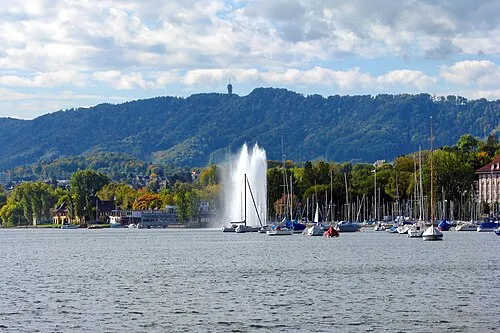 Canton of Zurich Region, Switzerland42 km N
-
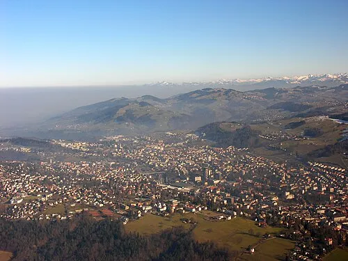 Canton of St. Gallen Region, Switzerland45 km NE
-
 Canton of Lucerne Region, Switzerland46 km W
-
 Canton of Obwalden Region, Switzerland45 km SW
Sources & licences
Data last updated: · 2 independent sources