Canton of Lucerne
Located in Switzerland Coordinates: 47°10′00″ N 8°10′00″ E
- Population
- 416,347
- 416.3K
- Elevation
- 703 m
- above sea level
- Local time
- UTC+01:00
- Europe/Zurich · UTC+01:00
- Places inside
- 92
- listed under Canton of Lucerne
About Canton of Lucerne
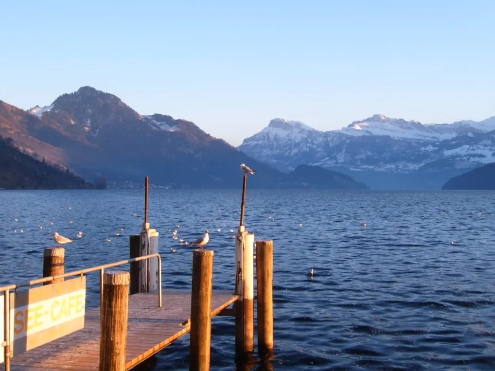
Canton of Lucerne is a region. Location: Switzerland. Population: 416,347.
The canton of Lucerne is a canton of Switzerland. It is located in the country's central, German-speaking part. The population of the canton (as of 31 December 2020) is 416,347. As of 2007, the population included 57,268 foreigners, or about 15.8% of the total population. The cantonal capital is the city of Lucerne.
Read more on Wikipedia Text: Wikipedia contributors · CC BY-SA 4.0 · shortened
At a glance
- Built
- 1332
- Area
- 1,494 km²
Source: Wikidata
In comparison
- 23 sights and natural places within 10 km Blosenbergturm, Lake Sempach
- Listed here: Neighbourhood: 65, District: 6, Mountain: 6, Island: 4
Places in Canton of Lucerne
92 places-
Lucerne-Land District District104.8K
-
Lucerne-Stadt District District79.5K
-
Sursee District District76.5K
-
Hochdorf District District74.1K
-
Willisau District District55.1K
-
Entlebuch District District23.3K
-
Altstadinsle Island
-
Ausserchratzereberg Neighbourhood
-
Baldeggersee Lake
-
Balmegg Mountain
-
Buttenberg Mountain
-
Dornegg Mountain
-
Ebnit ob Than Neighbourhood
-
Entlebuch Natural site
-
Gamma-Inseli Island
-
Gibelgrat Mountain
-
Grosshegen Neighbourhood
-
Guggernell-Neuhaus Neighbourhood
-
Hinteralp Neighbourhood
-
Hinterangst Neighbourhood
-
Hinterätzleschwand Neighbourhood
-
Hinterfeldenmoos Neighbourhood
-
Hintergrund Neighbourhood
-
Hinterhueb Neighbourhood
-
Hinterlinig Neighbourhood
-
Hinterricke Neighbourhood
-
Kleinschwand Neighbourhood
-
Lake Sempach Lake
-
Lindenberg Mountain
-
Mauensee Lake
-
Mauesee-Insel Island
-
Mittelfarnere Neighbourhood
-
Mittelfluhacher Neighbourhood
-
Mittelrotbach Neighbourhood
-
Neufluhacher Neighbourhood
-
Neuzeug Neighbourhood
-
Oberbad Neighbourhood
-
Oberberghof Neighbourhood
-
Oberblattegg Neighbourhood
-
Oberfarnere Neighbourhood
-
Oberflüehüttenboden Neighbourhood
-
Obergründli Neighbourhood
-
Oberhaselholz Neighbourhood
-
Oberhowäldli Neighbourhood
-
Obernachzel Neighbourhood
-
Oberrot Neighbourhood
-
Oberroth Neighbourhood
-
Obersattelschlucht Neighbourhood
-
Oberschlund Neighbourhood
-
Oberstudeweid Neighbourhood
-
Obertribschwande Neighbourhood
-
Oberwiden Neighbourhood
-
Oberzügholz Neighbourhood
-
Rotsee Lake
-
Sankt Margrete Attraction
-
Sankt-Niklausen-Insle Island
-
Schloss Mauesee Historic site
-
Schongi-Land Natural site
-
Schratteflue Mountain
-
Schruffeneggweid Neighbourhood
Largest cities and towns
-
Lucerne Municipality, Lucerne-Stadt District82.3K
-
Emmen Municipality, Hochdorf District31K
-
Kriens Municipality, Lucerne-Land District27.8K
-
Lucerne City, Lucerne81.7K
-
Horw Municipality, Lucerne-Land District14.2K
-
Ebikon Municipality, Lucerne-Land District13.8K
-
Willisau Municipality, Willisau District9K
-
Rothenburg Municipality, Hochdorf District7.7K
Nature and heritage in Canton of Lucerne
-
Bürgenstock Mountain, Lucerne
-
Feuerstein Mountain, Flühli
-
Schrattenfluh Mountain, Escholzmatt-Marbach
-
Balmi Mountain, Flühli
-
Briefengrat Mountain, Flühli
-
Brätterstock Mountain, Flühli
Other regions in Switzerland
-
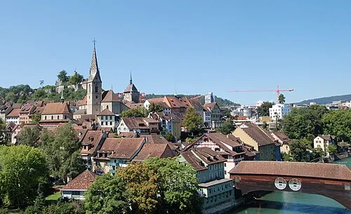 Canton of Aargau Region, Switzerland25 km N
-
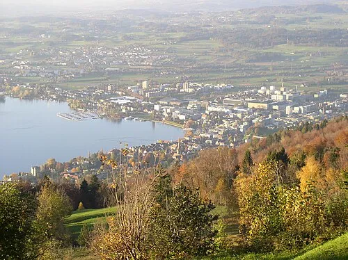 Canton of Zug Region, Switzerland28 km E
-
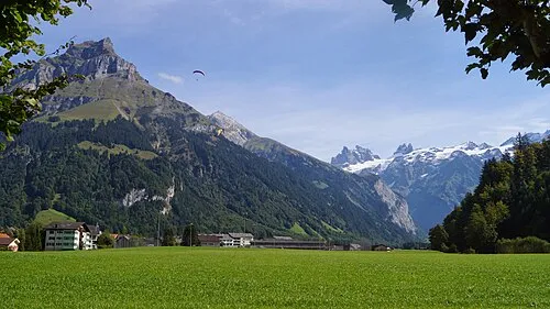 Canton of Obwalden Region, Switzerland34 km S
-
Canton of Nidwalden Region, Switzerland32 km SE
-
Bezirk Kulm District, Canton of Aargau14 km N
-
Muri District District, Canton of Aargau17 km NE
Sources & licences
Data last updated: · 2 independent sources