Lindenberg
Located in Canton of Lucerne, Switzerland Coordinates: 47°13′41″ N 8°19′01″ E
- Elevation
- 878 m
- above sea level
- Local time
- UTC+01:00
- Europe/Zurich · UTC+01:00
About Lindenberg
Lindenberg is a mountain. Location: Canton of Lucerne, Switzerland. Elevation: 878 m.
In comparison
- No. 7552 of 7660 mountains in Switzerland by elevation
- 14 sights and natural places within 10 km Horben, Schloss Heidegg
Nearest towns and villages
Nearby attractions & nature
Everything nearby-
Horben Natural site, Beinwil (Freiamt)1.2 km SE
-
Schloss Heidegg Natural site, Hitzkirch3.7 km W
-
Schongi-Land Natural site, Canton of Lucerne5.3 km NW
-
Baldeggersee Lake, Canton of Lucerne5.3 km SW
-
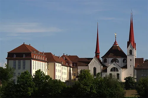 Muri Abbey Attraction, Muri5.5 km N
-
Rütiweiher Lake, Merenschwand6.3 km NE
-
Rütiweiher Lake, Merenschwand6.4 km NE
-
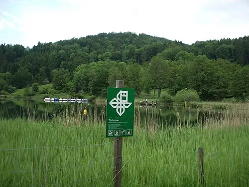 Aeugsterberg Mountain, Aeugst am Albis14 km E
More nature in Switzerland
-
Buttenberg Mountain, Canton of Lucerne13 km W
-
Gibelgrat Mountain, Canton of Lucerne16 km W
-
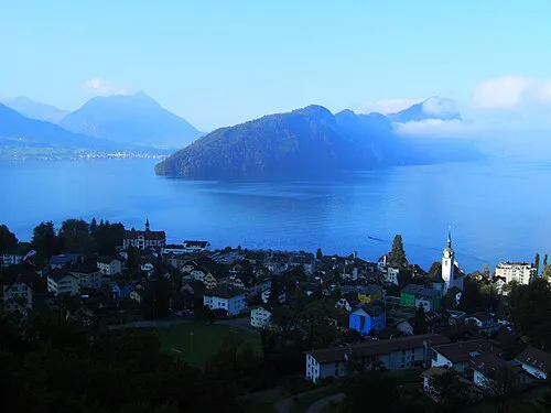 Bürgenstock Mountain, Lucerne26 km S
-
Gütsch Mountain, Lucerne20 km S
-
Chrüzhubel Mountain, Schwarzenberg24 km S
-
Schild Mountain, Vitznau25 km SE
Sources & licences
Data last updated: