Canton of Aargau
Local name: Aargau
Located in Switzerland Coordinates: 47°23′44″ N 8°10′20″ E
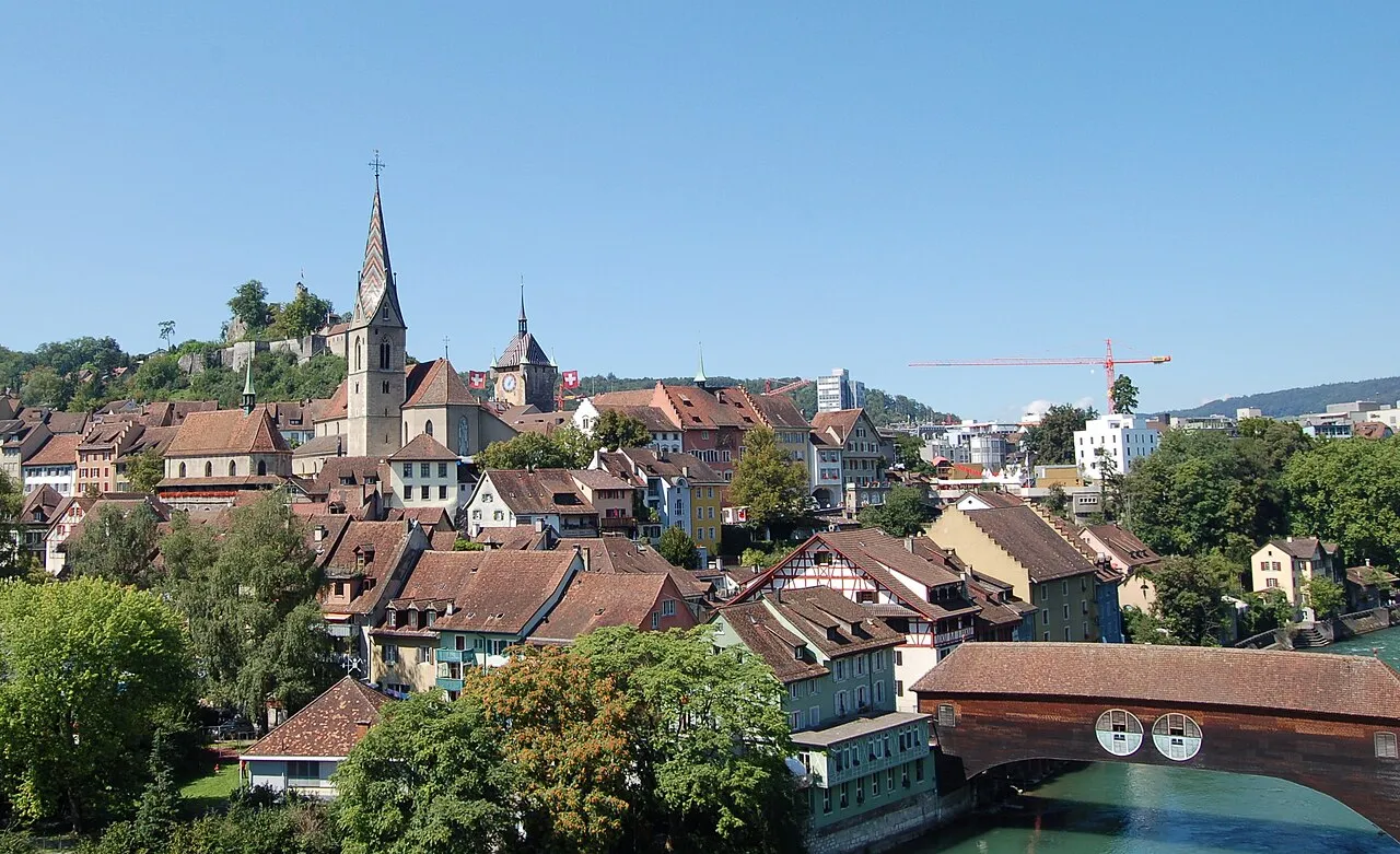
- Population
- 694,072
- 694.1K
- Elevation
- 398 m
- above sea level
- Local time
- UTC+01:00
- Europe/Zurich · UTC+01:00
- Places inside
- 25
- listed under Canton of Aargau
About Canton of Aargau
Canton of Aargau is a region. Location: Switzerland. Population: 694,072.
Aargau ( AR-gow, Swiss Standard German: [ˈaːrɡaʊ] ), more formally the Canton of Aargau (German: Kanton Aargau; Romansh: Chantun Argovia; French: Canton d'Argovie; Italian: Canton Argovia), is one of the 26 cantons forming the Swiss Confederation. It is composed of eleven districts and its capital is Aarau. Aargau is one of the most northerly cantons of Switzerland, and contains the lower course of the Aare River from which the name Aar-gau ("Aare province") is drawn.
Read more on Wikipedia Text: Wikipedia contributors · CC BY-SA 4.0 · shortened
At a glance
- Built
- 1803
- Area
- 1,404 km²
Source: Wikidata
In comparison
- 13 sights and natural places within 10 km Staufberg, Kamin Jura Zement Wildegg
- Listed here: District: 11, Neighbourhood: 7, Mountain: 3, Beach: 1
Places in Canton of Aargau
25 places-
Baden District District146.1K
-
Bezirk Aarau District80.3K
-
Bremgarten District District79.4K
-
District of Zofingen District73.8K
-
Lenzburg District District55.2K
-
Brugg District District52K
-
District of Rheinfelden District48.2K
-
Bezirk Kulm District42.9K
-
Muri District District37.4K
-
Bezirk Zurzach District35K
-
Laufenburg District District33.3K
-
Egg Mountain
-
Lägern Mountain
-
Limmat River
-
Müsenegg Mountain
-
Oberalikon Neighbourhood
-
Oberblasenberg Neighbourhood
-
Oberreussegg Neighbourhood
-
Obersteiggi Neighbourhood
-
Schloss Hallwyl Historic site
-
Unteralikon Neighbourhood
-
Unterblasenberg Neighbourhood
-
Unterfuchshalde Neighbourhood
-
Wildpark Roggenhausen Natural site
Largest cities and towns
-
Bremgarten Municipality, Bremgarten District8.2K
-
Baden Municipality, Baden District23.9K
-
Wettingen Municipality, Baden District20.9K
-
Brugg Municipality, Brugg District12.6K
-
Wohlen Municipality, Bremgarten District16.6K
-
Wohlen Town, Wohlen13.9K
-
Möhlin Municipality, District of Rheinfelden11K
-
Zofingen Municipality, District of Zofingen11.9K
Nature and heritage in Canton of Aargau
-
Würz Mountain, Thalheim
-
Geissberg Mountain, Villigen
-
Asperstrihe Mountain, Densbüren
-
Mittlisberg Mountain, Densbüren
-
Homberg Mountain, Thalheim
-
Hombergegg Mountain, Küttigen
Other regions in Switzerland
-
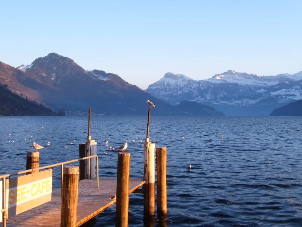 Canton of Lucerne Region, Switzerland25 km S
-
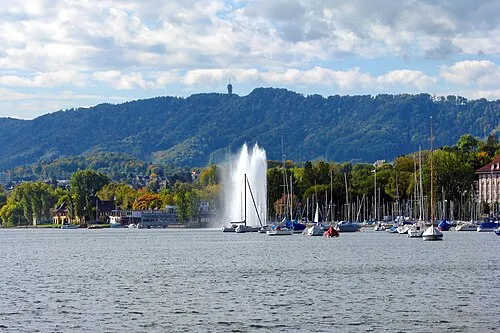 Canton of Zurich Region, Switzerland37 km E
-
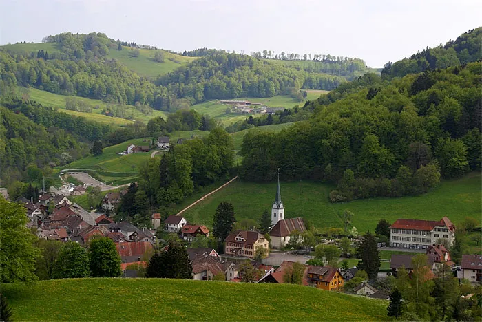 Basel-Landschaft Region, Switzerland37 km W
-
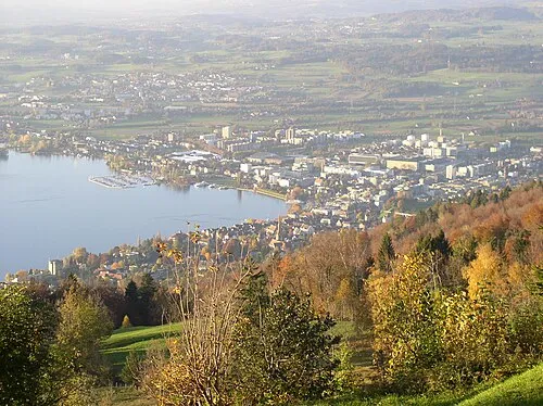 Canton of Zug Region, Switzerland38 km SE
-
Dietikon District District, Canton of Zurich20 km E
-
Bezirk Gösgen District, Canton of Solothurn19 km W
Sources & licences
Data last updated: · 2 independent sources