Canton of Obwalden
Local name: Obwalden
Located in Switzerland Coordinates: 46°51′31″ N 8°12′35″ E
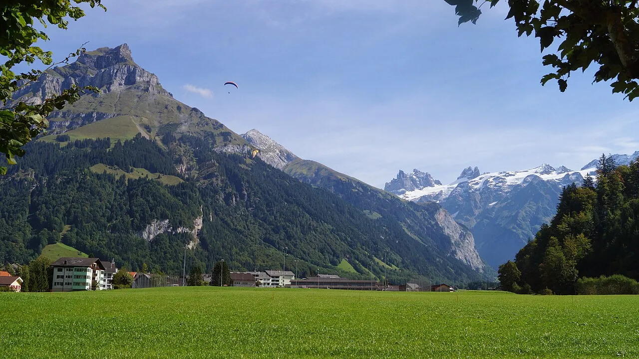
- Population
- 38,108
- 38.1K
- Elevation
- 467 m
- above sea level
- Local time
- UTC+01:00
- Europe/Zurich · UTC+01:00
- Places inside
- 12
- listed under Canton of Obwalden
About Canton of Obwalden
Canton of Obwalden is a region. Location: Switzerland. Population: 38,108.
Canton of Obwalden or Obwald (German: Kanton Obwalden [ˈɔpˌvaldn̩] ; Romansh: Chantun Sursilvania; French: Canton d'Obwald; Italian: Canton Obvaldo) is one of the 26 cantons forming the Swiss Confederation. It is composed of seven municipalities and the seat of the government and parliament is in Sarnen. It is traditionally considered a "half-canton", the other half being Nidwalden. Obwalden lies in Central Switzerland and contains the geographical centre of Switzerland.
Read more on Wikipedia Text: Wikipedia contributors · CC BY-SA 4.0 · shortened
At a glance
- Built
- 1291
- Area
- 491 km²
Source: Wikidata
In comparison
- 90 sights and natural places within 10 km Sarnersee, Hanen
- Listed here: Neighbourhood: 4, Natural site: 2, River: 2, District: 1
Places in Canton of Obwalden
12 places-
Obwalden District38.4K
-
Brünig-Arena Landmark
-
Chli Schliere River
-
Gross Schliere River
-
Grossschlierental Natural site
-
Kleinschlierental Natural site
-
Mitteliwi Neighbourhood
-
Mount Pilatus Mountain
-
Oberiwi Neighbourhood
-
Sarnersee Lake
-
Schwander Unterwengen Neighbourhood
-
Unteriwi Neighbourhood
Largest cities and towns
Nature and heritage in Canton of Obwalden
-
Titlis Mountain, Engelberg
-
Hohenstollen Mountain, Lungern
-
Hutstock Mountain, Kerns
-
Talistock Mountain, Kerns
-
Erzegg Mountain, Kerns
-
Melchseestock Mountain, Kerns
Other regions in Switzerland
-
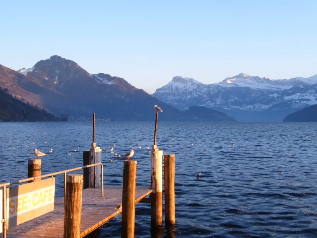 Canton of Lucerne Region, Switzerland34 km N
-
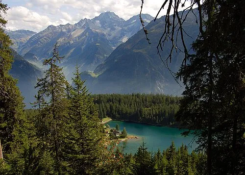 Canton of Uri Region, Switzerland34 km E
-
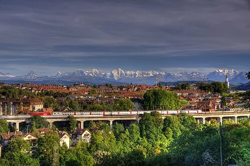 Canton of Bern Region, Switzerland47 km W
-
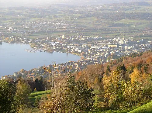 Canton of Zug Region, Switzerland42 km NE
-
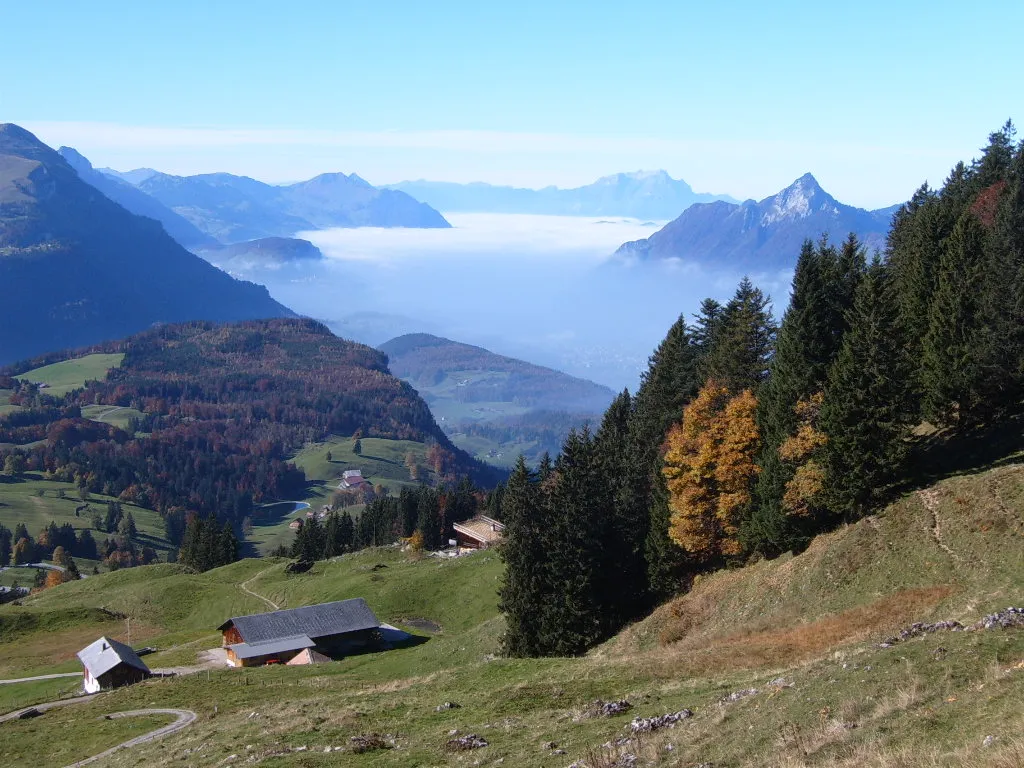 Canton of Schwyz Region, Switzerland45 km NE
-
Canton of Nidwalden Region, Switzerland17 km NE
Sources & licences
Data last updated: · 2 independent sources