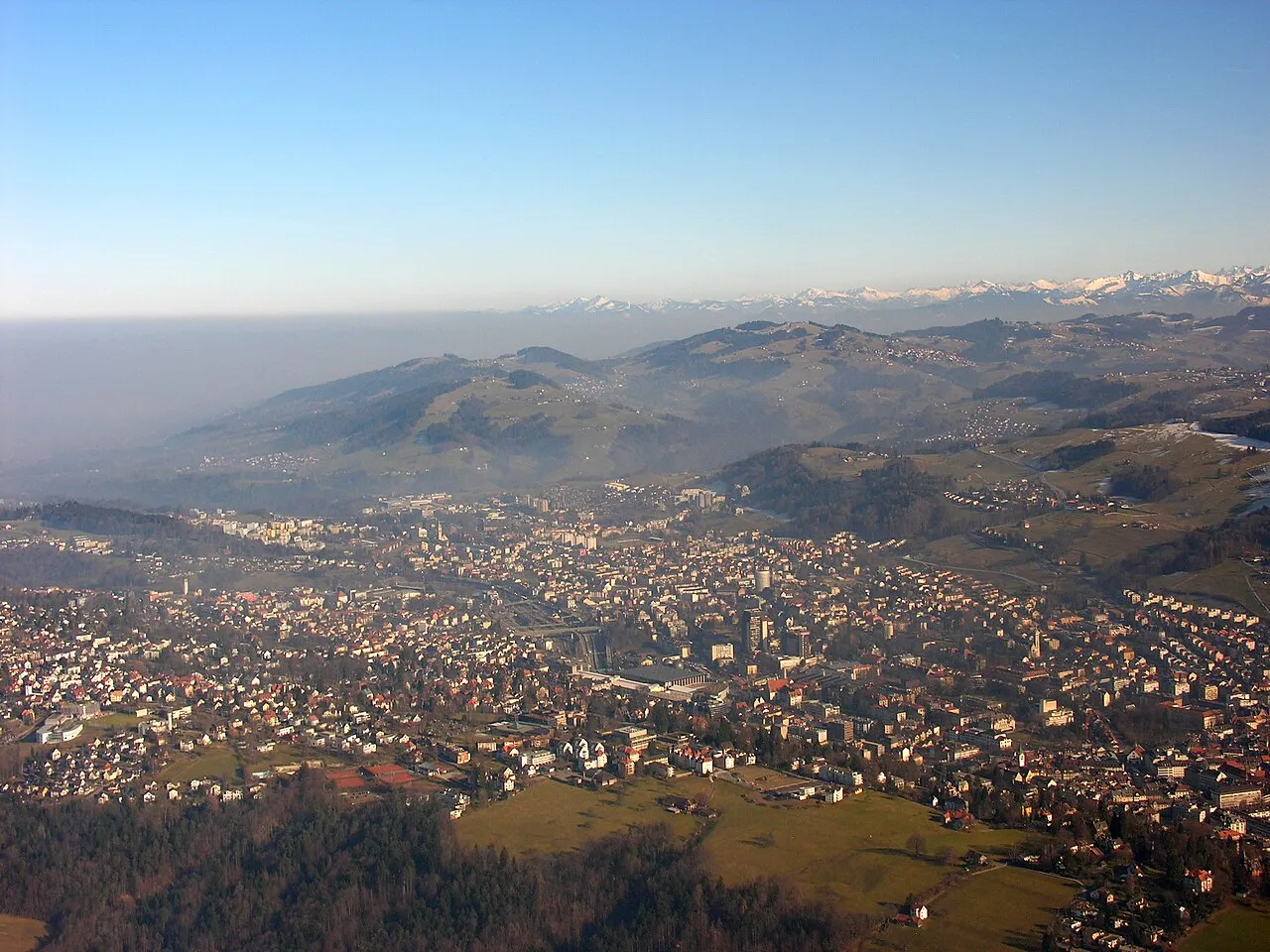
- Population
- 514,504
- 514.5K
- Elevation
- 1,120 m
- above sea level
- Local time
- UTC+01:00
- Europe/Zurich · UTC+01:00
- Places inside
- 40
- listed under Canton of St. Gallen
- Airports
- ACH Sankt Gallen Altenrhein Airport35 km
- FDH Bodensee Airport Friedrichshafen51 km
About Canton of St. Gallen
Canton of St. Gallen is a region. Location: Switzerland. Population: 514,504.
The canton of St. Gallen or St Gall (German: Kanton St. Gallen [zaŋkt ˈɡalən] ; Romansh: Chantun Son Gagl; French: Canton de Saint-Gall; Italian: Canton San Gallo) is a canton of Switzerland. Its capital is St. Gallen. Located in northeastern Switzerland, the canton has an area of 2,026 km2 (782 sq mi) (5% of Switzerland) and a resident population close to half a million as of 2015 (6% of Switzerland). It was formed in 1803 as a conflation of the city of St. Gallen, the territories of the Abbey of St.
Source: Wikipedia · CC BY-SA 4.0
Photos of Canton of St. Gallen
-

Earth Science and Remote Sensing Unit , Lyndon B. Johnson Space Center · Public domain -

Thomasox58 · CC0 -

Earth Science and Remote Sensing Unit , Lyndon B. Johnson Space Center · Public domain -

Earth Science and Remote Sensing Unit , Lyndon B. Johnson Space Center · Public domain -

Earth Science and Remote Sensing Unit , Lyndon B. Johnson Space Center · Public domain


Places bordering Canton of St. Gallen
- Appenzell Innerrhoden
- Canton of Appenzell Ausserrhoden
- Vorarlberg
- Grisons
- Canton of Glarus
- Canton of Schwyz
- Thurgau
- Canton of Zurich
- Bavaria
Climate of Canton of St. Gallen
Best months for sightseeingBest months for sightseeing: July–August.
This month · November
A wet month
Day 5° · Night -1° · Rain 119 mm
- Hottest month
- July (day 19°)
- Coldest month
- January (night -4°)
- Wettest month
- July (187 mm)
- Driest month
- January (90 mm)
Bars: average monthly low and high temperature. Below: precipitation. Monthly averages for 1970–2000 at about 18 km resolution, adjusted for elevation. Highlighted months are mild and relatively dry. Source: WorldClim 2.1 (CC BY 4.0).
Show values as a table
| Month | Jan | Feb | Mar | Apr | May | Jun | Jul | Aug | Sep | Oct | Nov | Dec |
|---|---|---|---|---|---|---|---|---|---|---|---|---|
| Average high (°C) | 2° | 2° | 5° | 9° | 14° | 17° | 19° | 19° | 15° | 11° | 5° | 3° |
| Average low (°C) | -4° | -4° | -2° | 1° | 5° | 8° | 10° | 10° | 7° | 4° | -1° | -3° |
| Precipitation (mm) | 90 | 93 | 100 | 123 | 141 | 175 | 187 | 175 | 138 | 108 | 119 | 105 |
How to get to Canton of St. Gallen
The nearest airport is Sankt Gallen Altenrhein Airport (ACH), 35 km to the northeast as the crow flies. For international flights: Bodensee Airport Friedrichshafen (FDH) (51 km). The nearest large city is Winterthur, 49 km to the northwest.
Airports
- Sankt Gallen Altenrhein Airport (ACH) St. Gallen 35 kmnortheast
- Bodensee Airport Friedrichshafen (FDH) Friedrichshafen 51 kmnortheast
- Zürich Airport (ZRH) Zurich 58 kmnorthwest
Nearby large cities
- Winterthur Population: 111.8K 49 kmnorthwest
- Zurich Population: 415.4K 54 kmwest
- Basel Population: 177.6K 131 kmwest
- Freiburg im Breisgau Population: 237.5K 134 kmnorthwest
- Reutlingen Population: 112.6K 138 kmnorth
Straight-line distances; road distances are longer. Airport data: OurAirports.
Places in Canton of St. Gallen
40 places- 1 St. Gallen 119.6K
- 2 Wil Electoral District 76.4K
- 3 Wahlkreis Rheintal 68.8K
- 4 Wahlkreis See-Gaster 68.4K
- 5 Wahlkreis Toggenburg 47K
- 6 Electoral district of Rorschach 43.9K
- 7 Wahlkreis Sarganserland 41.5K
- 8 Werdenberg Disctrict 36.4K
Bar: population relative to the most populous place in this list.
Cities & villages18
- Bodenweidli · Neighbourhood
- Brudermäl · Neighbourhood
- Chalchofen · Neighbourhood
- Dorfengraben · Neighbourhood
- Ennetthur · Neighbourhood
- Gartis · Neighbourhood
- Gumpist · Neighbourhood
- Hagliis · Neighbourhood
- Hüfern · Neighbourhood
- Lipp · Neighbourhood
- Möösli · Neighbourhood
- Muren · Neighbourhood
- Oberschwendi · Neighbourhood
- Oberstaffeln · Neighbourhood
- Plattenweid · Neighbourhood
- Plättli · Neighbourhood
- Stofel · Neighbourhood
- Unterschwendi · Neighbourhood
Mountains & nature9
- Alpstein · Mountain
- Freizeitpark Niederbüren · Natural site
- Gemeinschaftsbad Dreilinden · Natural site
- Gupf · Mountain
- Hinderhorn · Mountain
- Ringelspitz · Mountain
- Schwarzseehörner · Mountain
- Seeztal · Natural site
- Toggenburg · Natural site
Lakes, rivers & coasts4
Heritage & sights1
- Kybunpark · Landmark
Largest cities and towns
-
Thal Municipality, Electoral district of Rorschach6.6K
-
St. Gallen Municipality, St. Gallen76.1K
-
Rapperswil-Jona Municipality, Wahlkreis See-Gaster27.3K
-
Wil (SG) Municipality, Wil Electoral District24.2K
-
St. Gallen City, St. Gallen75.8K
-
Uzwil Municipality, Wil Electoral District13.1K
-
Buchs (SG) Municipality, Werdenberg Disctrict12.9K
-
Altstätten Municipality, Wahlkreis Rheintal11.9K
Nature and heritage in Canton of St. Gallen
Other regions in Switzerland
-
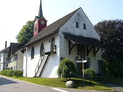 Thurgau Region, Switzerland36 km N
-
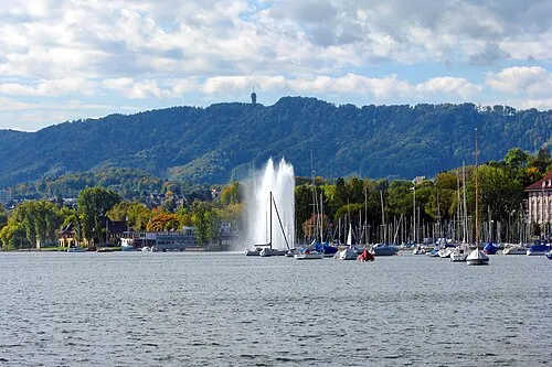 Canton of Zurich Region, Switzerland48 km NW
-
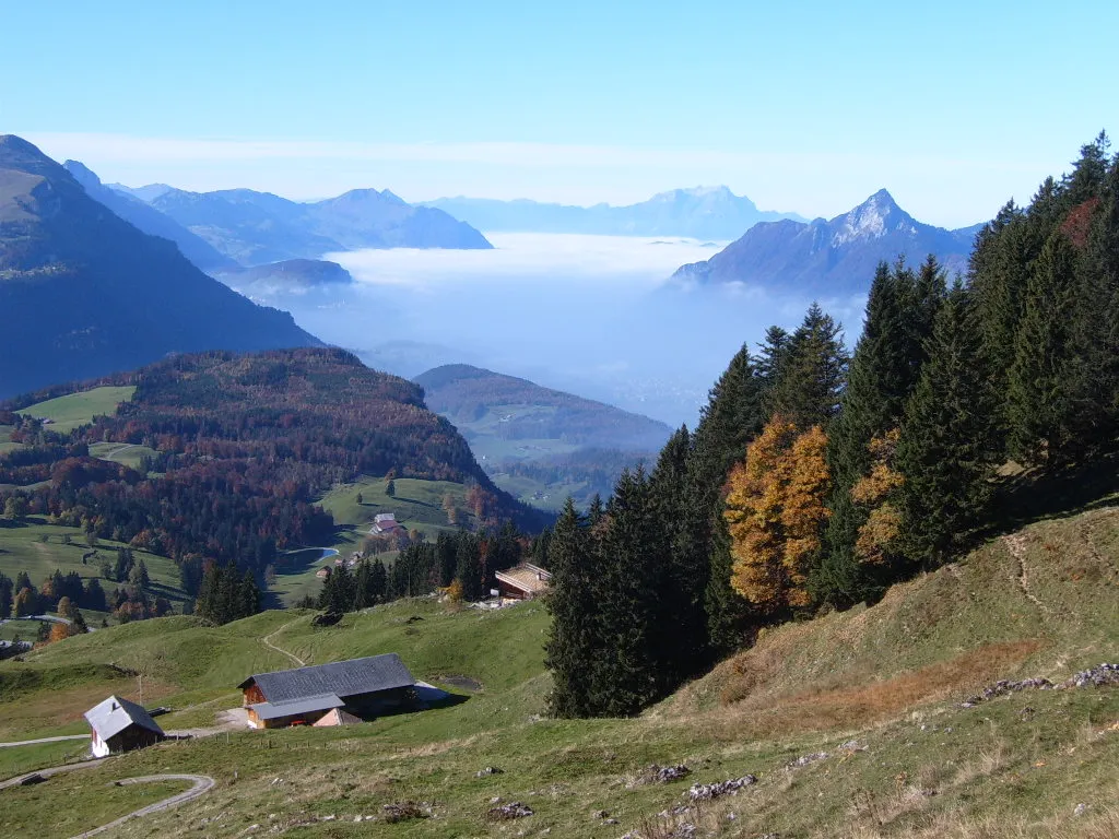 Canton of Schwyz Region, Switzerland45 km SW
-
Canton of Appenzell Ausserrhoden Region, Switzerland13 km N
-
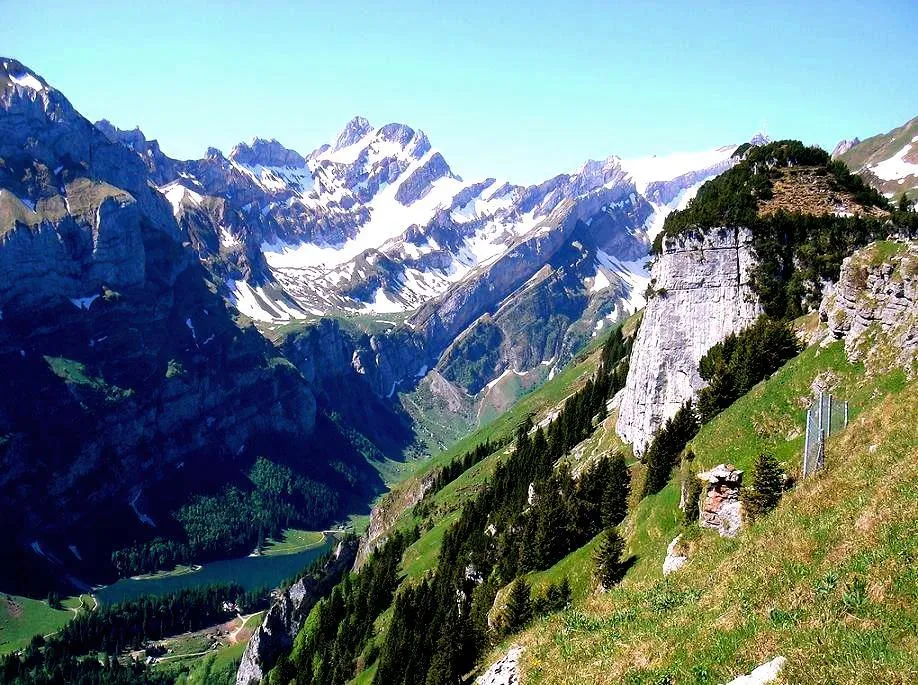 Appenzell Innerrhoden Region, Switzerland14 km NE
-
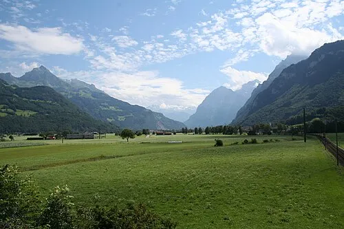 Canton of Glarus Region, Switzerland33 km SW
Sources & licences
Data last updated: · 2 independent sources