Glarus
Located in Canton of Glarus, Switzerland Coordinates: 47°01′00″ N 9°03′32″ E
- Population
- 12,425
- 12.4K
- Elevation
- 881 m
- above sea level
- Local time
- UTC+01:00
- Europe/Zurich · UTC+01:00
- Places inside
- 6
- listed under Glarus
About Glarus
Glarus is a district. Location: Canton of Glarus, Switzerland. Population: 12,425.
Glarus (Swiss Standard German: [ˈɡlaːrʊs] ; Alemannic German: Glaris; French: Glaris [ɡlaʁis]; Italian: Glarona; Romansh: Glaruna) is the capital of the canton of Glarus in Switzerland. Since 1 January 2011, the municipality of Glarus incorporates the former municipalities of Ennenda, Netstal and Riedern. Glarus lies on the river Linth between the foot of the Glärnisch (part of the Schwyzer Alps) to the west and the Schilt (Glarus Alps) to the east. Very few buildings built before the fire of 1861 remain.
Read more on Wikipedia Text: Wikipedia contributors · CC BY-SA 4.0 · shortened
At a glance
- Built
- 2011
- Heritage designation
- Swiss townscape worthy of protection
- Area
- 104 km²
Source: Wikidata
In comparison
- 160 sights and natural places within 10 km Forenstogg, Rundchopf
- Listed here: Mountain: 3, Municipality: 3
Places in Glarus
6 places-
Glarus Nord Municipality18.6K
-
Glarus Municipality12.5K
-
Glarus Süd Municipality9.5K
-
Heustock Mountain
-
Huet Mountain
-
Plattenberg Mountain
Nature and heritage in Glarus
-
Rautispitz Mountain, Glarus Nord
-
Wiggis Mountain, Glarus Nord
-
Schilt Mountain, Glarus
-
Tierberg Mountain, Glarus Nord
-
Piz Sardona Mountain, Glarus Süd
-
Mürtschenstock Mountain, Glarus Nord
Nearby attractions & nature
Everything nearby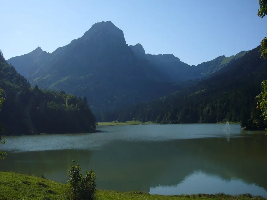
Sources & licences
Data last updated: · 2 independent sources