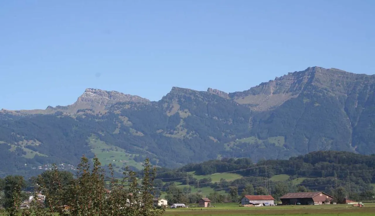
- Elevation
- 1,950 m
- above sea level
- Local time
- UTC+01:00
- Europe/Zurich · UTC+01:00
- Airports
- ACH Sankt Gallen Altenrhein Airport47 km
- ZRH Zürich Airport53 km
About Speer
Speer is a mountain. Location: Amden, Wahlkreis See-Gaster. Elevation: 1,950 m.
The Speer is a mountain in the Appenzell Alps with an elevation of 1,951 metres (6,401 ft), located in the canton of St. Gallen, Switzerland. It is situated between the Toggenburg valley, the Linth Plain, and Lake Zurich, overlooking the region between Lake Zurich and Lake Walen. Being easily accessible (e.g. from Amden), the summit is popular for its panoramic view of the Alps and Prealps from central to eastern Switzerland. The ascent, however, involves a few hours of hiking.
Source: Wikipedia · CC BY-SA 4.0
At a glance
- Topographic prominence
- 535 m
Source: Wikidata
Photos of Speer
-

Sdkb · CC BY-SA 4.0 -

Sdkb · CC BY-SA 4.0 -

Christoph Strässler · CC BY-SA 2.0 -

Albinfo · CC0 -

Albinfo · CC0


Climate of Speer
This month · November
A wet month
Day -1° · Night -7° · Rain 112 mm
- Hottest month
- July (day 14°)
- Coldest month
- January (night -10°)
- Wettest month
- July (176 mm)
- Driest month
- January (81 mm)
Bars: average monthly low and high temperature. Below: precipitation. Monthly averages for 1970–2000 at about 18 km resolution, adjusted for elevation. Highlighted months are mild and relatively dry. Source: WorldClim 2.1 (CC BY 4.0).
Show values as a table
| Month | Jan | Feb | Mar | Apr | May | Jun | Jul | Aug | Sep | Oct | Nov | Dec |
|---|---|---|---|---|---|---|---|---|---|---|---|---|
| Average high (°C) | -5° | -4° | 0° | 3° | 9° | 11° | 14° | 14° | 10° | 5° | -1° | -4° |
| Average low (°C) | -10° | -10° | -8° | -5° | -1° | 2° | 5° | 5° | 2° | -2° | -7° | -9° |
| Precipitation (mm) | 81 | 90 | 92 | 112 | 131 | 166 | 176 | 164 | 127 | 103 | 112 | 99 |
How to get to Speer
The nearest airport is Sankt Gallen Altenrhein Airport (ACH), 47 km to the northeast as the crow flies. For international flights: Zürich Airport (ZRH) (53 km). The nearest large city is Winterthur, 47 km to the northwest.
Airports
- Sankt Gallen Altenrhein Airport (ACH) St. Gallen 47 kmnortheast
- Zürich Airport (ZRH) Zurich 53 kmnorthwest
- Bodensee Airport Friedrichshafen (FDH) Friedrichshafen 61 kmnortheast
Nearby large cities
- Winterthur Population: 111.8K 47 kmnorthwest
- Zurich Population: 415.4K 48 kmnorthwest
- Basel Population: 177.6K 124 kmwest
- Bern Population: 121.6K 130 kmwest
- Freiburg im Breisgau Population: 237.5K 131 kmnorthwest
Straight-line distances; road distances are longer. Airport data: OurAirports.
Day trips from Speer
Within 100 km: 456 historic and cultural sites, 6,493 natural sites, 1,216 lakes, rivers and coasts.
0–25 km578 places
- Seedamm Island 24 kmW
- Hurden Island 25 kmW
- Walensee Lake 9 kmSE
- Wägitalersee Lake 19 kmSW
25–60 km2,148 places
- Mainau Island 58 kmN
- Fahr Abbey Attraction 57 kmNW
- Dominikanerinsel Konstanz Island 53 kmN
- Strandbad Steckborn Beach 54 kmN
60–100 km5,439 places
- Strandbad Brienz Beach 95 kmSW
- Arbeiterstrandbad Tennwil Beach 70 kmW
- Lago Nero Lake 93 kmSW
- Sankt-Niklausen-Insle Island 61 kmW
Straight-line distances.
Nearest towns and villages
-
Amden Village, Amden4.4 km S
-
Schänis Municipality, Wahlkreis See-Gaster4.5 km W
-
Oberfurggle Village, Amden2.9 km S
-
Hinteraltschen Village, Amden2.9 km SE
-
Weesen Municipality, Wahlkreis See-Gaster5.3 km SW
-
Kaltbrunn Municipality, Wahlkreis See-Gaster6.2 km NW
Nearby attractions & nature
Everything nearby-
Chli Speer Mountain, Ebnat-Kappel0.5 km N
-
Schwarzi Chöpf Mountain, Ebnat-Kappel0.7 km NE
-
Flügenspitz Mountain, Amden0.7 km SE
-
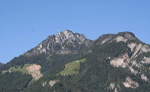 Mattstock Mountain, Amden2 km SE
-
Wannenberg Mountain, Ebnat-Kappel1.1 km N
-
Grappehorn Mountain, Schänis1.2 km SW
-
Heidenbüel Mountain, Amden1.3 km SE
-
Speermürli Mountain, Nesslau1.6 km NE
Sources & licences
Data last updated: · 2 independent sources