Cureglia
Located in Lugano District, Canton Ticino Coordinates: 46°02′14″ N 8°56′40″ E
- Population
- 1,422
- 1.4K
- Elevation
- 432 m
- above sea level
- Local time
- UTC+01:00
- Europe/Zurich · UTC+01:00
- Places inside
- 1
- listed under Cureglia
About Cureglia
Cureglia is a municipality. Location: Lugano District, Canton Ticino. Population: 1,422. Elevation: 432 m.
In comparison
- No. 24 of 40 places in Lugano District by population
- Nearest larger town: Comano, 1 km E
- 62 sights and natural places within 10 km Lago d'Origlio, Stadio Cornaredo
Airports nearest to Cureglia
- Lugano Airport (LUG) Agno 5 km
- Milan Malpensa International Airport (MXP) Ferno (VA) 48 km
- Milano Linate Airport (LIN) Segrate (MI) 71 km
Straight-line distance; airports with scheduled flights only. Source: OurAirports (public domain).
Places in Cureglia
1 place-
Cureglia Village
Nearby attractions & nature
Everything nearby-
Lago d'Origlio Lake, Origlio1.5 km N
-
Stadio Cornaredo Landmark, Lugano2 km SE
-
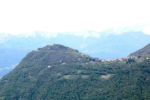 Monte Brè Mountain, Lugano4.6 km SE
-
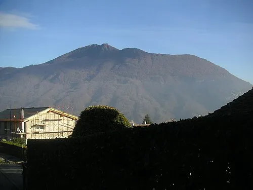 Monte Boglia Mountain, Lugano5 km E
-
Lambertenghi Attraction, Lugano3.3 km S
-
Museo Cantonale d Arte Museum, Lugano3.7 km S
-
Jansonius Art Gallery Museum, Lugano3.7 km S
-
Lido di Lugano Mountain, Canton Ticino3.9 km S
Sources & licences
Data last updated: