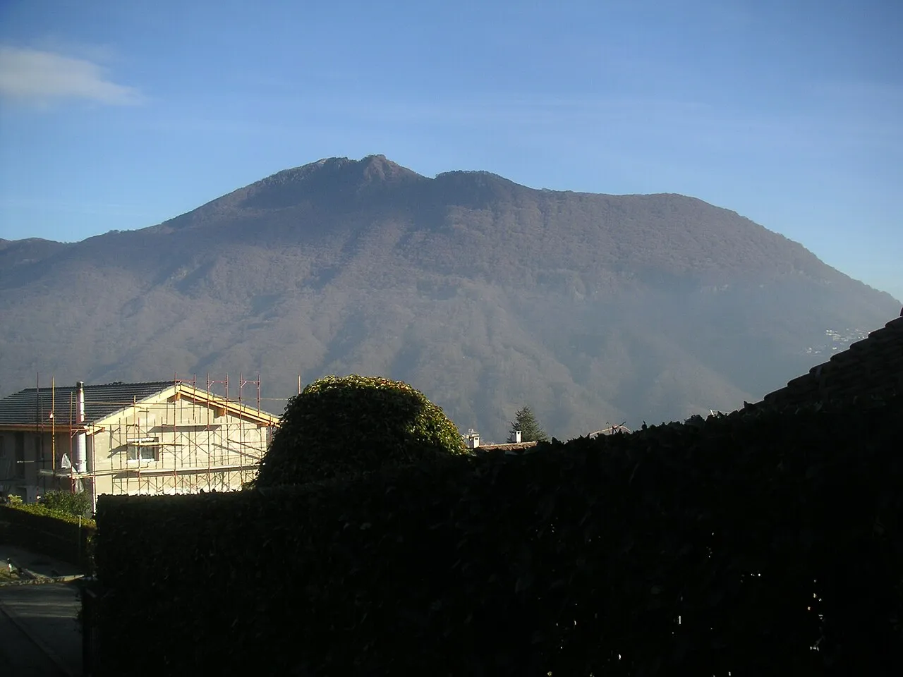
- Elevation
- 1,516 m
- above sea level
- Local time
- UTC+01:00
- Europe/Zurich · UTC+01:00
- Airports
- LUG Lugano Airport8 km
- MXP Milan Malpensa International Airport49 km
About Monte Boglia
Monte Boglia is a mountain. Location: Lugano, Lugano District. Elevation: 1,516 m.
Monte Boglia (also known as Colma Regia) is a mountain whose peak is along the border of Ticino, Switzerland and Lombardy, Italy. It reaches an elevation of 1,516 metres and overlooks Lake Lugano on its southern side. It is one of the few summits from which it's possible to see Lake Maggiore, Lake Lugano and Lake Como at the same time. Another such summit is Gazzirola.
Source: Wikipedia · CC BY-SA 4.0
At a glance
- Topographic prominence
- 342 m
Source: Wikidata
Photos of Monte Boglia
-

Zuber~commonswiki · CC BY-SA 3.0 -

Kaitu · CC BY-SA 4.0 -

Barbara Steinemann · CC BY-SA 4.0 -

Alain Rouiller · CC BY-SA 2.0 -

Adrian Michael · CC BY-SA 3.0


Climate of Monte Boglia
Best months for sightseeingBest months for sightseeing: July–August.
This month · November
A wet month
Day 5° · Night -3° · Rain 101 mm
- Hottest month
- July (day 19°)
- Coldest month
- January (night -7°)
- Wettest month
- May (153 mm)
- Driest month
- February (57 mm)
Bars: average monthly low and high temperature. Below: precipitation. Monthly averages for 1970–2000 at about 18 km resolution, adjusted for elevation. Highlighted months are mild and relatively dry. Source: WorldClim 2.1 (CC BY 4.0).
Show values as a table
| Month | Jan | Feb | Mar | Apr | May | Jun | Jul | Aug | Sep | Oct | Nov | Dec |
|---|---|---|---|---|---|---|---|---|---|---|---|---|
| Average high (°C) | 1° | 2° | 5° | 8° | 12° | 16° | 19° | 18° | 14° | 10° | 5° | 2° |
| Average low (°C) | -7° | -7° | -4° | -1° | 3° | 7° | 9° | 9° | 6° | 1° | -3° | -6° |
| Precipitation (mm) | 75 | 57 | 86 | 126 | 153 | 147 | 127 | 142 | 151 | 145 | 101 | 69 |
How to get to Monte Boglia
The nearest airport is Lugano Airport (LUG), 8 km to the west as the crow flies. For international flights: Milan Malpensa International Airport (MXP) (49 km). The nearest large city is Zurich, 153 km to the north.
Airports
- Lugano Airport (LUG) Agno 8 kmwest
- Milan Malpensa International Airport (MXP) Ferno (VA) 49 kmsouthwest
- Il Caravaggio International Airport (BGY) Orio al Serio (BG) 68 kmsoutheast
Nearby large cities
- Zurich Population: 415.4K 153 kmnorth
- Bern Population: 121.6K 157 kmnorthwest
- Winterthur Population: 111.8K 165 kmnorth
- Lausanne Population: 139.1K 191 kmwest
- Basel Population: 177.6K 202 kmnorthwest
Straight-line distances; road distances are longer. Airport data: OurAirports.
Day trips from Monte Boglia
Within 100 km: 104 historic and cultural sites, 4,705 natural sites, 611 lakes, rivers and coasts.
0–25 km188 places
- Isole di Brissago Island 24 kmNW
- Sant' Apollinare Island 24 kmNW
- San Pancrazio Island 24 kmNW
- Laghetto di Muzzano Lake 7 kmSW
25–60 km1,176 places
- Lago Nero Lake 59 kmNW
- Lago Tremorgio Lake 55 kmNW
- Lago del Sambuco Lake 55 kmNW
- Laghetto Lake 44 kmN
60–100 km4,056 places
- Chaviolas Island 72 kmNE
- Lajets Lake 68 kmNE
- Silvaplanersee Lake 77 kmNE
- Lake Sils Lake 71 kmNE
Straight-line distances.
Nearest towns and villages
-
Pregassona Neighbourhood, Lugano2.8 km SW
-
Cadro Village, Lugano2.4 km NW
-
Viganello Neighbourhood, Lugano3.5 km SW
-
Gandria Village, Lugano2.7 km S
-
Albogasio-Oria Village, Valsolda2.4 km E
-
Alpe Bolla Village, Lugano0.8 km N
Nearby attractions & nature
Everything nearby-
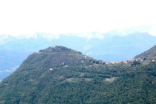 Monte Brè Mountain, Lugano2.8 km SW
-
Denti della Vecchia Mountain, Lugano2.8 km NE
-
Lido di San Domenico Mountain, Canton Ticino3.4 km SW
-
Val di Colla Natural site, Canton Ticino5 km N
-
Cima dell' Oress Mountain, Valsolda5.2 km NE
-
Lido di Lugano Mountain, Canton Ticino4.4 km SW
-
Chiesa dei Santi Simone e Fedele Attraction, Lugano2.3 km SW
-
Monte Prade Mountain, Valsolda5.4 km NE
Sources & licences
Data last updated: · 2 independent sources