Vallemaggia District
Located in Canton Ticino, Switzerland Coordinates: 46°21′17″ N 8°36′19″ E
- Population
- 5,952
- 6K
- Elevation
- 1,263 m
- above sea level
- Local time
- UTC+01:00
- Europe/Zurich · UTC+01:00
- Places inside
- 8
- listed under Vallemaggia District
About Vallemaggia District
Vallemaggia District is a district. Location: Canton Ticino, Switzerland. Population: 5,952.
The Vallemaggia District is a district of the canton of Ticino in Switzerland, bordering the Leventina district to the northwest, the Locarno district to the southeast, and Italy to the west. It encompasses eight municipalities and has a population of 5,952 (as of 31 December 2020). The capital of the district is Cevio. Although it extends over approximately one-fifth of the cantonal territory, only about 2% of the Ticino population lived there in 2000.
Read more on Wikipedia Text: Wikipedia contributors · CC BY-SA 4.0 · shortened
At a glance
- Area
- 569 km²
Source: Wikidata
In comparison
- 90 sights and natural places within 10 km Pizzo Paràula, Pizzo di Brünesc
- Listed here: Municipality: 8
Places in Vallemaggia District
8 places-
Maggia Municipality2.6K
-
Avegno Gordevio Municipality1.5K
-
Cevio Municipality1.1K
-
Lavizzara Municipality508
-
Campo (Vallemaggia) Municipality51
-
Bosco/Gurin Municipality49
-
Linescio Municipality47
-
Cerentino Municipality45
Nature and heritage in Vallemaggia District
-
Laghetti d'Antabia Lake, Cevio
-
Acqua Fredda Lake, Cevio
-
Lago del Forna Lake, Lavizzara
-
Lago del Corbo Lake, Lavizzara
-
Lago dei Matörgn Lake, Cevio
-
Lago di Mognòla Lake, Lavizzara
Nearby attractions & nature
Everything nearby-
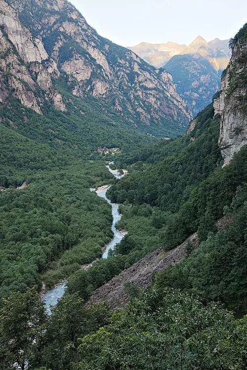 Val Bavona Natural site, Canton Ticino7 km NW
-
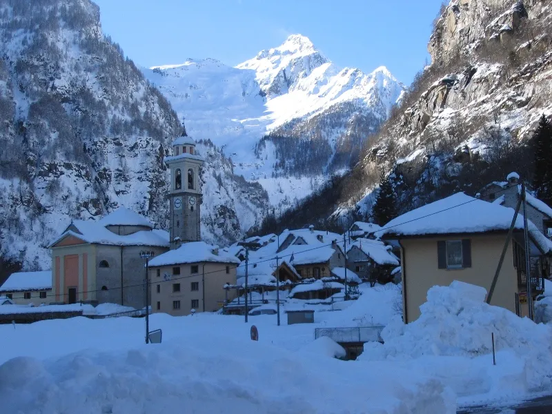 Monte Zucchero Mountain, Verzasca8.4 km E
-
Lepontine Alps Mountain, Canton Ticino8.3 km NE
-
Cima di Broglio Mountain, Verzasca6.6 km SE
-
Pizzo del Cocco Mountain, Verzasca7 km E
-
Sass d'Argent Mountain, Verzasca7.5 km SE
Sources & licences
Data last updated: · 2 independent sources