- Elevation
- 1,482 m
- above sea level
- Local time
- UTC+01:00
- Europe/Zurich · UTC+01:00
- Airports
- ACH Sankt Gallen Altenrhein Airport83 km
- LUG Lugano Airport95 km
About Igl Lai
Igl Lai is a lake. Location: Vaz/Obervaz, Albula Region. Elevation: 1,482 m. The best months to visit are July. The nearest airport is Sankt Gallen Altenrhein Airport (83 km). Nearby sights include Heidsee and Plam la Lena.
Photos of Igl Lai
-
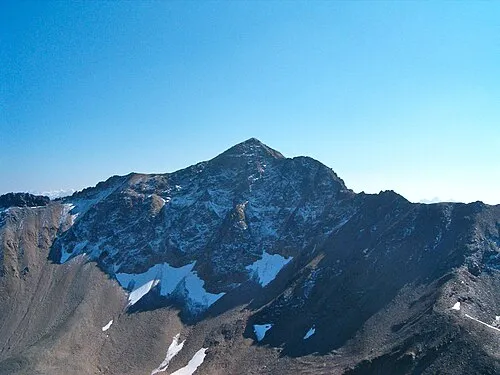
Aroser Rothorn Andres Passwirth · CC BY-SA 3.0 -
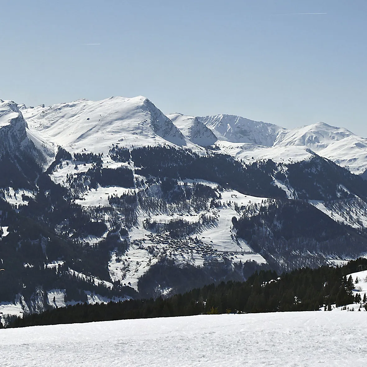
Gürgaletsch Walter45 · CC BY-SA 3.0


Climate of Igl Lai
Best months for sightseeingBest months for sightseeing: July.
This month · November
A wet month
Day 5° · Night -3° · Rain 107 mm
- Hottest month
- July (day 18°)
- Coldest month
- February (night -7°)
- Wettest month
- July (160 mm)
- Driest month
- February (77 mm)
Bars: average monthly low and high temperature. Below: precipitation. Monthly averages for 1970–2000 at about 18 km resolution, adjusted for elevation. Highlighted months are mild and relatively dry. Source: WorldClim 2.1 (CC BY 4.0).
Show values as a table
| Month | Jan | Feb | Mar | Apr | May | Jun | Jul | Aug | Sep | Oct | Nov | Dec |
|---|---|---|---|---|---|---|---|---|---|---|---|---|
| Average high (°C) | 2° | 2° | 5° | 7° | 12° | 15° | 18° | 18° | 15° | 11° | 5° | 2° |
| Average low (°C) | -6° | -7° | -4° | -1° | 4° | 6° | 9° | 9° | 6° | 2° | -3° | -5° |
| Precipitation (mm) | 90 | 77 | 90 | 104 | 121 | 150 | 160 | 156 | 135 | 112 | 107 | 93 |
Other places to visit in this season: July
How to get to Igl Lai
The nearest airport is Sankt Gallen Altenrhein Airport (ACH), 83 km to the north as the crow flies. For international flights: Bodensee Airport Friedrichshafen (FDH) (104 km). The nearest large city is Zurich, 103 km to the northwest.
Airports
- Sankt Gallen Altenrhein Airport (ACH) St. Gallen 83 kmnorth
- Lugano Airport (LUG) Agno 95 kmsouthwest
- Bodensee Airport Friedrichshafen (FDH) Friedrichshafen 104 kmnorth
Nearby large cities
- Zurich Population: 415.4K 103 kmnorthwest
- Winterthur Population: 111.8K 106 kmnorthwest
- Innsbruck Population: 132.5K 152 kmnortheast
- Bern Population: 121.6K 162 kmwest
- Basel Population: 177.6K 176 kmnorthwest
Straight-line distances; road distances are longer. Airport data: OurAirports.
Day trips from Igl Lai
Within 100 km: 226 historic and cultural sites, 7,127 natural sites, 1,006 lakes, rivers and coasts.
0–25 km602 places
- Lake Davos Lake 25 kmE
- Lag Prau Pulté Lake 23 kmNW
- Lai Plang Bi Lake 4 kmE
- Lai da Calandari Lake 21 kmSW
25–60 km3,317 places
- Chaviolas Island 38 kmSE
- Lajets Lake 27 kmS
- Walensee Lake 51 kmNW
- Silvaplanersee Lake 37 kmSE
60–100 km4,440 places
- Lago Nero Lake 84 kmW
- Ufenau Island 79 kmNW
- Isole di Brissago Island 92 kmSW
- Insel Lützelau Island 79 kmNW
Straight-line distances.
Nearest towns and villages
-
Lenzerheide Village, Vaz/Obervaz1.7 km S
-
Valbella Village, Vaz/Obervaz1.2 km N
-
Parpan Village, Churwalden2.7 km N
-
Lantsch/Lenz Municipality, Albula Region3.9 km SE
-
Tgantieni Village, Vaz/Obervaz2.5 km SW
-
Sporz Village, Vaz/Obervaz2.7 km S
Nearby attractions & nature
Everything nearby-
Heidsee Lake, Vaz/Obervaz0.3 km N
-
Plam la Lena Mountain, Vaz/Obervaz2.5 km NE
-
Foil Cotschen Mountain, Vaz/Obervaz2.6 km E
-
Schafkopf Mountain, Lantsch/Lenz2.5 km SE
-
Aroser Rothorn Mountain, Albula/Alvra4.8 km E
-
Crap la Pala Mountain, Vaz/Obervaz3.8 km SW
-
Piz Danis Mountain, Scharans3.3 km W
-
Legher Grond Mountain, Lantsch/Lenz3.7 km SE
Sources & licences
Data last updated: