Falknis
Located in Fläsch, Region Landquart Coordinates: 47°03′02″ N 9°33′51″ E
- Elevation
- 2,562 m
- above sea level
- Local time
- UTC+01:00
- Europe/Zurich · UTC+01:00
About Falknis
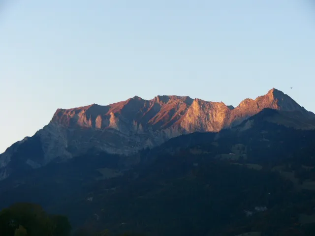
Falknis is a mountain. Location: Fläsch, Region Landquart. Elevation: 2,562 m.
The Falknis is a mountain in the Rätikon range of the Eastern Alps, located on the border between Liechtenstein and Switzerland (Grisons). It is 2,562 metres (8,406 ft) at its highest peak. The nearest locality is Balzers, Liechtenstein, in the Alpine Rhine Valley.
Read more on Wikipedia Text: Wikipedia contributors · CC BY-SA 4.0 · shortened
In comparison
- No. 3160 of 7660 mountains in Switzerland by elevation
- 67 sights and natural places within 10 km Ruchberg, Falknishorn
Nearest towns and villages
Nearby attractions & nature
Everything nearby-
Ruchberg Mountain, Fläsch0.5 km E
-
Falknishorn Mountain, Maienfeld0.6 km W
-
Schmutzli Mountain, Fläsch1 km E
-
Schwarzhorn Mountain, Fläsch1.1 km S
-
Rotspitz Mountain, Maienfeld1.2 km NW
-
Oberst See Lake, Fläsch1 km SE
-
Gir Mountain, Maienfeld1.4 km W
-
Tannkopf Mountain, Maienfeld1.7 km W
Sources & licences
Data last updated: · 2 independent sources