Maienfeld
Located in Region Landquart, Grisons Coordinates: 47°01′38″ N 9°33′45″ E
- Population
- 3,006
- 3K
- Elevation
- 1,469 m
- above sea level
- Local time
- UTC+01:00
- Europe/Zurich · UTC+01:00
- Places inside
- 17
- listed under Maienfeld
About Maienfeld
Maienfeld is a municipality. Location: Region Landquart, Grisons. Population: 3,006. Elevation: 1,469 m.
In comparison
- No. 4 of 8 places in Region Landquart by population
- Nearest larger town: Bad Ragaz, 5 km SW
- 69 sights and natural places within 10 km Furnis, Uf den Sätz
- Listed here: Mountain: 12, Village: 5
Places in Maienfeld
17 places-
Maienfeld Village2.4K
-
Falknishorn Mountain
-
Gir Mountain
-
Glegghorn Mountain
-
Guscha Village
-
Kamm Mountain
-
Röfels Village
-
Rotspitz Mountain
-
Ruchenberg Mountain
-
Säge Village
-
Sankt Luzisteig Village
-
Sunnenspitz Mountain
-
Tannkopf Mountain
-
Tannköpf Mountain
-
Uf den Sätz Mountain
-
Wörznerhorn Mountain
-
Zuckerhut Mountain
Nearby attractions & nature
Everything nearby-
Furnis Mountain, Jenins1.1 km E
-
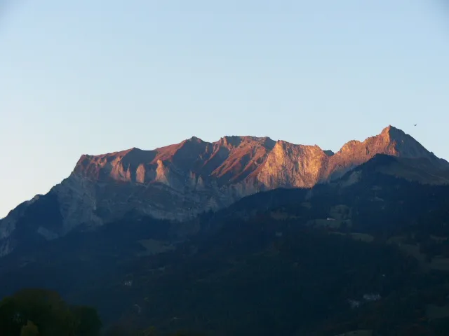 Falknis Mountain, Fläsch2.6 km N
-
Schwarzhorn Mountain, Fläsch1.5 km N
-
Hoch Carnellis Mountain, Malans2.5 km SE
-
Oberst See Lake, Fläsch2.2 km NE
-
Messhaldenspitz Mountain, Malans2.7 km SE
-
Burg Aspermont Historic site, Jenins2.7 km S
-
Ruchberg Mountain, Fläsch2.8 km N
Sources & licences
Data last updated: