Madrisahorn
Located in Klosters, Region Prättigau / Davos Coordinates: 46°55′52″ N 9°52′20″ E
- Elevation
- 2,826 m
- above sea level
- Local time
- UTC+01:00
- Europe/Zurich · UTC+01:00
- Airports
- ACH Sankt Gallen Altenrhein Airport66 km
- FDH Bodensee Airport Friedrichshafen87 km
About Madrisahorn
Madrisahorn is a mountain. Location: Klosters, Region Prättigau / Davos. Elevation: 2,826 m.
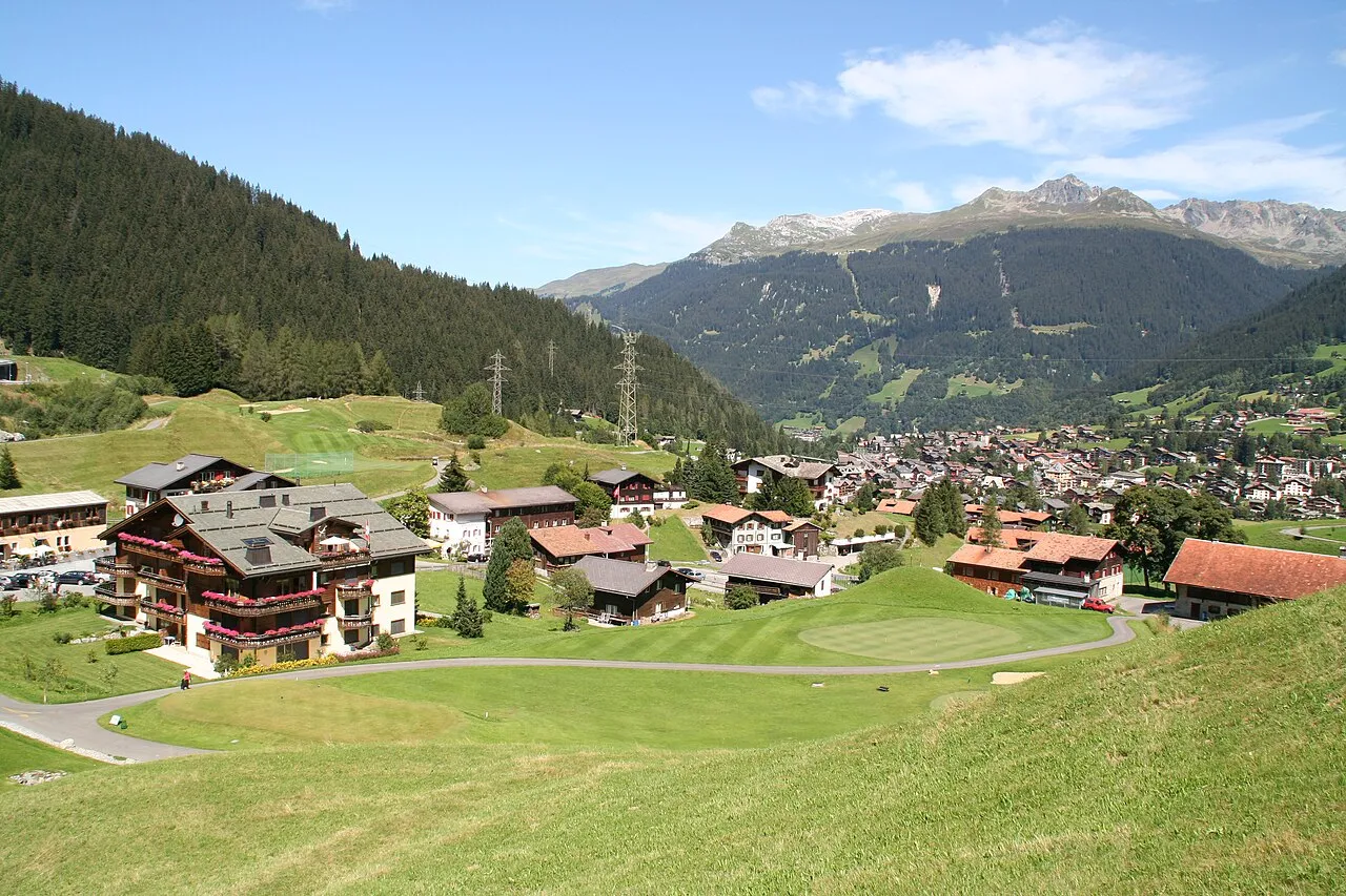
The Madrisa (or Madrisahorn) is a mountain in the Rätikon mountain range, overlooking Klosters in the Swiss canton of Graubünden. Its summit (2,826 metres) is located near the Austrian border. The Madrisa is constituted by several secondary summits, notably the Gargeller Madrisa (2,770 metres), overlooking Gargellen in Austria. Ski lifts up to 2,600 metres are located on the Klosters side.
Source: Wikipedia · CC BY-SA 4.0
At a glance
- Topographic prominence
- 624 m
Source: Wikidata
Photos of Madrisahorn
-

Herbert Heim · CC BY-SA 4.0 -

HelgeRieder · CC0 -

Reinhard Müller · CC BY-SA 4.0 -

Reinhard Müller · CC BY-SA 4.0 -

Herbert Heim · CC BY-SA 4.0


Climate of Madrisahorn
This month · November
A cold month
Day -4° · Night -11° · Rain 98 mm
- Hottest month
- July (day 9°)
- Coldest month
- February (night -16°)
- Wettest month
- July (154 mm)
- Driest month
- February (78 mm)
Bars: average monthly low and high temperature. Below: precipitation. Monthly averages for 1970–2000 at about 18 km resolution, adjusted for elevation. Highlighted months are mild and relatively dry. Source: WorldClim 2.1 (CC BY 4.0).
Show values as a table
| Month | Jan | Feb | Mar | Apr | May | Jun | Jul | Aug | Sep | Oct | Nov | Dec |
|---|---|---|---|---|---|---|---|---|---|---|---|---|
| Average high (°C) | -7° | -7° | -5° | -2° | 3° | 6° | 9° | 9° | 6° | 2° | -4° | -7° |
| Average low (°C) | -15° | -16° | -13° | -10° | -5° | -3° | 0° | 0° | -3° | -6° | -11° | -14° |
| Precipitation (mm) | 88 | 78 | 86 | 90 | 105 | 140 | 154 | 146 | 115 | 91 | 98 | 93 |
How to get to Madrisahorn
The nearest airport is Sankt Gallen Altenrhein Airport (ACH), 66 km to the north as the crow flies. For international flights: Bodensee Airport Friedrichshafen (FDH) (87 km). The nearest large city is Winterthur, 108 km to the northwest.
Airports
- Sankt Gallen Altenrhein Airport (ACH) St. Gallen 66 kmnorth
- Bodensee Airport Friedrichshafen (FDH) Friedrichshafen 87 kmnorth
- Zürich Airport (ZRH) Zurich 116 kmnorthwest
Nearby large cities
- Winterthur Population: 111.8K 108 kmnorthwest
- Zurich Population: 415.4K 111 kmnorthwest
- Innsbruck Population: 132.5K 121 kmeast
- Ulm Population: 120.5K 163 kmnorth
- Augsburg Population: 301.1K 178 kmnortheast
Straight-line distances; road distances are longer. Airport data: OurAirports.
Day trips from Madrisahorn
Within 100 km: 284 historic and cultural sites, 6,504 natural sites, 1,079 lakes, rivers and coasts.
0–25 km788 places
- Lake Davos Lake 12 kmS
- Gotschnaseeli Lake 8 kmS
- Furggasee Lake 25 kmS
- Saysersee Lake 20 kmW
25–60 km2,961 places
- Chaviolas Island 57 kmS
- Lajets Lake 53 kmSW
- Walensee Lake 56 kmNW
- Silvaplanersee Lake 54 kmS
60–100 km4,118 places
- Dominikanerinsel Konstanz Island 97 kmNW
- Ufenau Island 89 kmW
- Insel Lützelau Island 88 kmW
- Schönenwerd Island 93 kmW
Straight-line distances.
Nearest towns and villages
-
Klosters Serneus Village, Klosters5.3 km SW
-
Glatteggen Village, Klosters1.8 km S
-
Saas im Prättigau Village, Klosters5.4 km SW
-
Küblis Municipality, Region Prättigau / Davos5.7 km W
-
Schluppidura Village, Klosters3.9 km SW
-
Gargellen Village, Sankt Gallenkirch5.4 km NE
Nearby attractions & nature
Everything nearby-
Marchspitze Mountain, Region Prättigau / Davos0.5 km NE
-
Gandataler Köpfe Mountain, Grisons0.9 km NE
-
Sant Jaggem Mountain, Klosters1.2 km S
-
Plattenflue Mountain, Luzein1.5 km NW
-
Frygebirg Mountain, Sankt Gallenkirch1.7 km NE
-
Rätschenhorn Mountain, Luzein1.8 km W
-
Gargellener Madrisa - HG Mountain, Sankt Gallenkirch1.9 km NE
-
Höch Satz Mountain, Klosters1.9 km E
Sources & licences
Data last updated: · 2 independent sources