Frygebirg
Located in Sankt Gallenkirch, Bludenz District Coordinates: 46°56′32″ N 9°53′12″ E
- Elevation
- 2,754 m
- above sea level
- Local time
- UTC+01:00
- Europe/Vienna · UTC+01:00
About Frygebirg
Frygebirg is a mountain. Location: Sankt Gallenkirch, Bludenz District. Elevation: 2,754 m.
In comparison
- No. 717 of 7537 mountains in Austria by elevation
- 130 sights and natural places within 10 km Gargellener Madrisa - HG, Gandataler Köpfe
Nearest towns and villages
-
Gargellen Village, Sankt Gallenkirch3.7 km NE
-
Vergalden Village, Sankt Gallenkirch2.4 km E
-
Klosters Serneus Village, Klosters7 km SW
-
Küblis Municipality, Region Prättigau / Davos7 km W
-
Glatteggen Village, Klosters3.4 km SW
-
Saas im Prättigau Village, Klosters6.9 km SW
Nearby attractions & nature
Everything nearby-
Gargellener Madrisa - HG Mountain, Sankt Gallenkirch0.4 km E
-
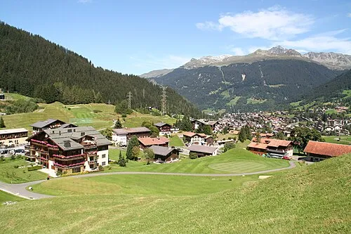 Madrisahorn Mountain, Klosters1.7 km SW
-
Gandataler Köpfe Mountain, Grisons0.9 km S
-
Marchspitze Mountain, Region Prättigau / Davos1.2 km SW
-
Höch Satz Mountain, Klosters1.6 km SE
-
Gargellenköpfe Mountain, Grisons1.8 km NW
-
Gargäller Chöpf Mountain, Vorarlberg1.8 km N
-
Plattenflue Mountain, Luzein1.9 km W
More nature in Austria
-
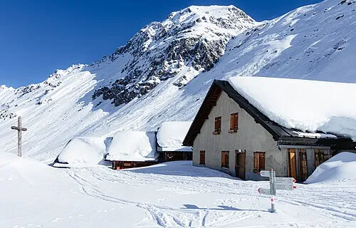 Valisera Mountain, Sankt Gallenkirch4.9 km E
-
Alpkopf Mountain, Sankt Gallenkirch2.7 km E
-
Selzner Kopf Mountain, Sankt Gallenkirch3.1 km E
-
Schiesshorn Mountain, Sankt Gallenkirch3.6 km E
-
Riedkopf Mountain, Sankt Gallenkirch3.7 km N
-
Ritzen Spitzen Mountain, Sankt Gallenkirch3.7 km E
Sources & licences
Data last updated: