Mont Dolent
Located in Switzerland Coordinates: 45°55′19″ N 7°02′46″ E
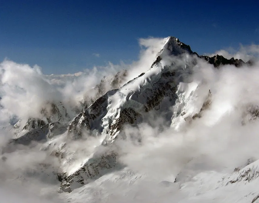
- Elevation
- 3,819 m
- above sea level
- Local time
- UTC+01:00
- Europe/Zurich · UTC+01:00
About Mont Dolent
Mont Dolent is a mountain. Location: Switzerland. Elevation: 3,819 m.
Mont Dolent (3,823 metres (12,543 ft)) is a mountain in the Mont Blanc massif and lies on the border between Italy, Switzerland and France. As a mountain, Mont Dolent is regarded as the tripoint between Italy, Switzerland and France, although the tripoint itself lies at 3,749 metres, less than 100 metres north-west of its summit. In 1954, a statue of the Virgin Mary was erected on Mont Dolent's summit by the young people of Valais.
Read more on Wikipedia Text: Wikipedia contributors · CC BY-SA 4.0 · shortened
At a glance
- Topographic prominence
- 330 m
Source: Wikidata
In comparison
- No. 97 of 7660 mountains in Switzerland by elevation
- 138 sights and natural places within 10 km Glacier du Dolent, Glacier du Dolent
Nearest towns and villages
Nearby attractions & nature
Everything nearby-
Glacier du Dolent Natural site, Orsières0.7 km NE
-
Punta del Domino Mountain, Aosta Valley1.3 km W
-
Glacier du Dolent Natural site, Orsières1.1 km E
-
Aiguille de Triolet Mountain, Chamonix1.8 km W
-
Glacier de l'A Neuve Natural site, Orsières1.9 km N
-
Pointe Allobrogia Mountain, Orsières2 km SE
-
Aiguilles Rouges du Dolent Mountain, Chamonix2 km NW
-
Glacier de l'A Neuve Natural site, Orsières2.1 km NE
Sources & licences
Data last updated: · 2 independent sources