Schesaplana
Located in Switzerland Coordinates: 47°03′14″ N 9°42′27″ E
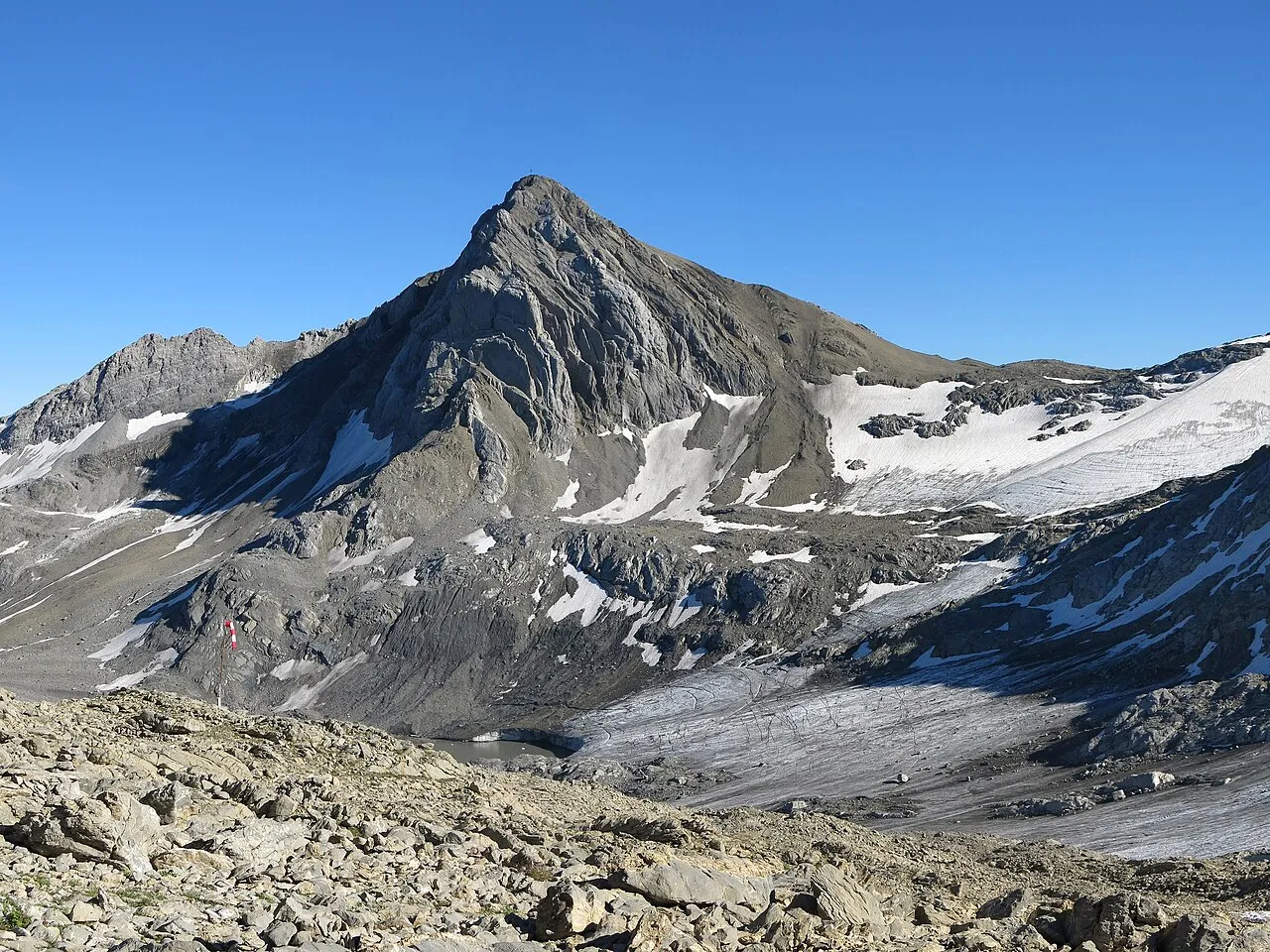
- Elevation
- 2,965 m
- above sea level
- Local time
- UTC+01:00
- Europe/Zurich · UTC+01:00
About Schesaplana
Schesaplana is a mountain. Location: Switzerland. Elevation: 2,965 m.
The Schesaplana (German pronunciation: [ʃezaˈplaːna]) is the highest mountain in the Rätikon mountain range at the border between Vorarlberg, Austria and Graubünden, Switzerland. It has an elevation of 2,964.3 m (9,725 ft). On the north side of the Schesaplana is a glacier called Brandner Gletscher. To the east is the Lünersee. It is possible to reach the summit on various routes during a hike, making it useful for a multiday trek between the mountain huts in the area.
Read more on Wikipedia Text: Wikipedia contributors · CC BY-SA 4.0 · shortened
At a glance
- Topographic prominence
- 829 m
Source: Wikidata
In comparison
- No. 1354 of 7660 mountains in Switzerland by elevation
- 135 sights and natural places within 10 km Rätikon, Felsenkopf
Nearest towns and villages
-
Seewis im Prättigau Municipality, Region Prättigau / Davos5 km SW
-
Vordersäss Village, Seewis im Prättigau2.3 km S
-
Hintersäss Village, Seewis im Prättigau2.5 km SE
-
Valarsäge Village, Seewis im Prättigau2.7 km SW
-
Brand Village, Brand5.7 km NE
-
Schiers Municipality, Region Prättigau / Davos7.4 km SE
Nearby attractions & nature
Everything nearby-
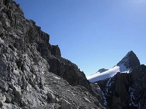 Rätikon Mountain, Austria0.1 km W
-
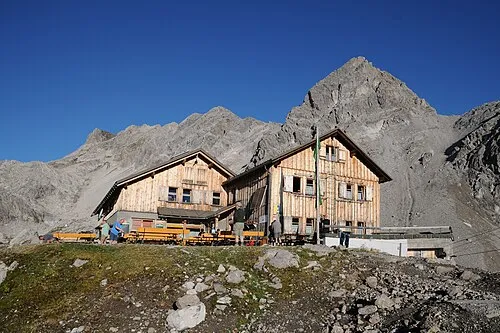 Zirmenkopf Mountain, Vandans1 km E
-
Felsenkopf Mountain, Vandans0.5 km E
-
Westlicher Totalpkopf Mountain, Seewis im Prättigau1.1 km SE
-
Schafköpfe Mountain, Vorarlberg1.2 km W
-
Alpstein Mountain, Switzerland1.3 km W
-
Östlicher Totalpkopf Mountain, Seewis im Prättigau1.6 km SE
-
Wildberg Mountain, Brand1.6 km N
Sources & licences
Data last updated: · 2 independent sources