Weinfelden
Located in Weinfelden District, Thurgau Coordinates: 47°34′11″ N 9°06′43″ E
- Population
- 11,602
- 11.6K
- Elevation
- 461 m
- above sea level
- Local time
- UTC+01:00
- Europe/Zurich · UTC+01:00
- Places inside
- 25
- listed under Weinfelden
About Weinfelden
Weinfelden is a municipality. Location: Weinfelden District, Thurgau. Population: 11,602. Elevation: 461 m.
In comparison
- Most populous of 18 places in Weinfelden District
- Nearest larger town: Kreuzlingen, 9 km NE
- 15 sights and natural places within 10 km Ottenberg, Schloss Altenklingen
- Listed here: Village: 23, City: 1, Mountain: 1
Places in Weinfelden
25 places-
Weinfelden City9.4K
-
Alp Village
-
Brugge Village
-
Bühl Village
-
Burg Village
-
Hagholz Village
-
Härig Village
-
Himmelreich Village
-
Hinterberg Village
-
Mittelberg Village
-
Neuhaus Village
-
Oberottenberg Village
-
Oberschürli Village
-
Ottenberg Mountain
-
Ottenberg Village
-
Rüssinger Village
-
Schlipfenberg Village
-
Schlurhalden Village
-
Straussberg Village
-
Thurberg Village
-
Vorderbachtobel Village
-
Vorderberg Village
-
Waidli Village
-
Weerstein Village
-
Weerswilen Village
Nearby attractions & nature
Everything nearby-
Schloss Altenklingen Historic site, Wigoltingen4.4 km NW
-
Maerwiler Moos Lake, Affeltrangen4.5 km SW
-
Ergolfweiher Lake, Märstetten4.5 km W
-
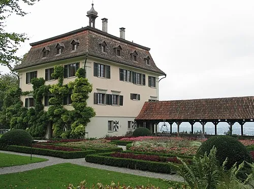 Schloss Wolfsberg Historic site, Ermatingen10 km N
-
Connyland Natural site, Thurgau6.5 km NW
-
Bommerweiher Lake, Kemmental6 km NE
-
Bommerweiher Lake, Kemmental6.2 km NE
-
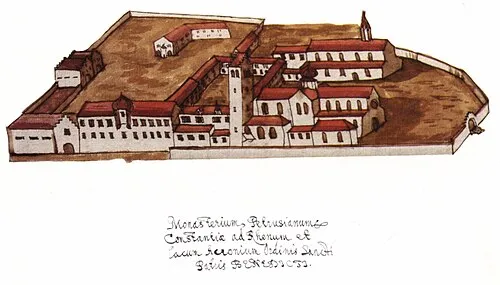 Petershausen Abbey Attraction, Konstanz12 km NE
Sources & licences
Data last updated: