Luché
Located in Ayent, Hérens District Coordinates: 46°18′54″ N 7°23′25″ E
- Elevation
- 2,275 m
- above sea level
- Local time
- UTC+01:00
- Europe/Zurich · UTC+01:00
About Luché
Luché is a lake. Location: Ayent, Hérens District. Elevation: 2,275 m.
In comparison
- 119 sights and natural places within 10 km Chamossaire, Combe de Serin
Nearest towns and villages
Nearby attractions & nature
Everything nearby-
Chamossaire Mountain, Arbaz0.6 km NW
-
Combe de Serin Mountain, Ayent1 km NE
-
La Motte Mountain, Ayent1.4 km N
-
Pointe d'Hérémence Mountain, Ayent1.6 km N
-
Donin du Jour Mountain, Arbaz1.7 km NW
-
Sex Rouge Mountain, Ayent2.3 km NW
-
Sex Noir Mountain, Arbaz2.6 km W
-
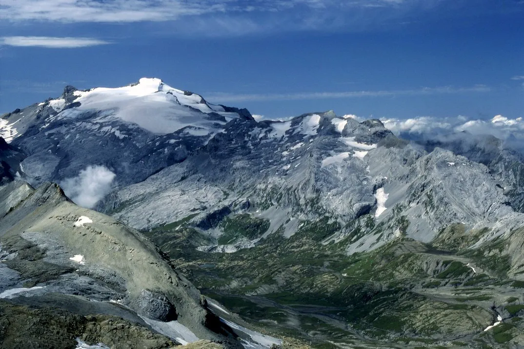 Wildhorn Mountain, Ayent5 km NW
Sources & licences
Data last updated: