La Cheutse
Located in Martigny-Combe, Martigny District Coordinates: 46°05′29″ N 7°01′10″ E
- Elevation
- 1,900 m
- above sea level
- Local time
- UTC+01:00
- Europe/Zurich · UTC+01:00
- Airports
- GVA Geneva International Airport72 km
- NCY Annecy Meythet airport74 km
About La Cheutse
La Cheutse is a mountain. Location: Martigny-Combe, Martigny District. Elevation: 1,900 m. The best months to visit are July. The nearest airport is Geneva International Airport (72 km). Nearby sights include Le Temelet and Mont de l'Arpille.
Climate of La Cheutse
Best months for sightseeingBest months for sightseeing: July.
This month · November
A wet month
Day 1° · Night -5° · Rain 120 mm
- Hottest month
- July (day 16°)
- Coldest month
- January (night -9°)
- Wettest month
- December (124 mm)
- Driest month
- September (84 mm)
Bars: average monthly low and high temperature. Below: precipitation. Monthly averages for 1970–2000 at about 18 km resolution, adjusted for elevation. Highlighted months are mild and relatively dry. Source: WorldClim 2.1 (CC BY 4.0).
Show values as a table
| Month | Jan | Feb | Mar | Apr | May | Jun | Jul | Aug | Sep | Oct | Nov | Dec |
|---|---|---|---|---|---|---|---|---|---|---|---|---|
| Average high (°C) | -2° | -1° | 2° | 4° | 9° | 13° | 16° | 16° | 12° | 7° | 1° | -2° |
| Average low (°C) | -9° | -9° | -7° | -4° | 1° | 4° | 6° | 6° | 3° | -1° | -5° | -8° |
| Precipitation (mm) | 112 | 116 | 94 | 90 | 99 | 106 | 90 | 93 | 84 | 107 | 120 | 124 |
Other places to visit in this season: July
How to get to La Cheutse
The nearest airport is Geneva International Airport (GVA), 72 km to the west as the crow flies. The nearest large city is Lausanne, 56 km to the northwest.
Airports
- Geneva International Airport (GVA) Geneva 72 kmwest
- Annecy Meythet airport (NCY) Annecy 74 kmwest
- Bern Airport (BRN) Bern 98 kmnorth
Nearby large cities
- Lausanne Population: 139.1K 56 kmnorthwest
- Geneva Population: 201.7K 69 kmwest
- Bern Population: 121.6K 101 kmnorth
- Grenoble Population: 158.6K 144 kmsouthwest
- Besançon Population: 128.4K 150 kmnorthwest
Straight-line distances; road distances are longer. Airport data: OurAirports.
Nearest towns and villages
-
Martigny-Combe Village, Martigny-Combe2.8 km SE
-
La Crêta Village, Martigny-Combe1.2 km W
-
Salvan Village, Salvan3.1 km N
-
Martigny Municipality, Martigny District5.1 km E
-
La Fontaine Village, Martigny-Combe2 km SE
-
Le Fays Village, Martigny-Combe2 km SE
Nearby attractions & nature
Everything nearby-
Le Temelet Mountain, Martigny-Combe0.6 km N
-
Mont de l'Arpille Mountain, Martigny-Combe1.9 km SW
-
Roc Blanc Mountain, Martigny-Combe2.1 km NE
-
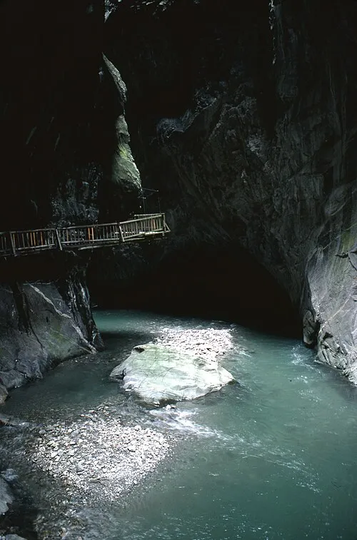 Gorges du Trient Natural site, Salvan4.2 km N
-
Rochers du Soir Mountain, Salvan3.7 km N
-
Mont de la Barme Mountain, Finhaut3.7 km W
-
Sex des Granges Mountain, Salvan4.6 km N
-
Pointe du Djoua Mountain, Salvan4.6 km NW
Sources & licences
Data last updated: