- Elevation
- 1,961 m
- above sea level
- Local time
- UTC+01:00
- Europe/Zurich · UTC+01:00
- Airports
- GVA Geneva International Airport56 km
- NCY Annecy Meythet airport70 km
About Haut Sex
Haut Sex is a mountain. Location: Vionnaz, Monthey District. Elevation: 1,961 m. The nearest airport is Geneva International Airport (56 km). Nearby sights include Pointe de Recon and Lac de Recon.
Photos of Haut Sex
-
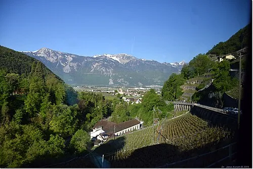
Tour de Don János Korom Dr. >17 Million views from Wien, Austria · CC BY-SA 2.0 -
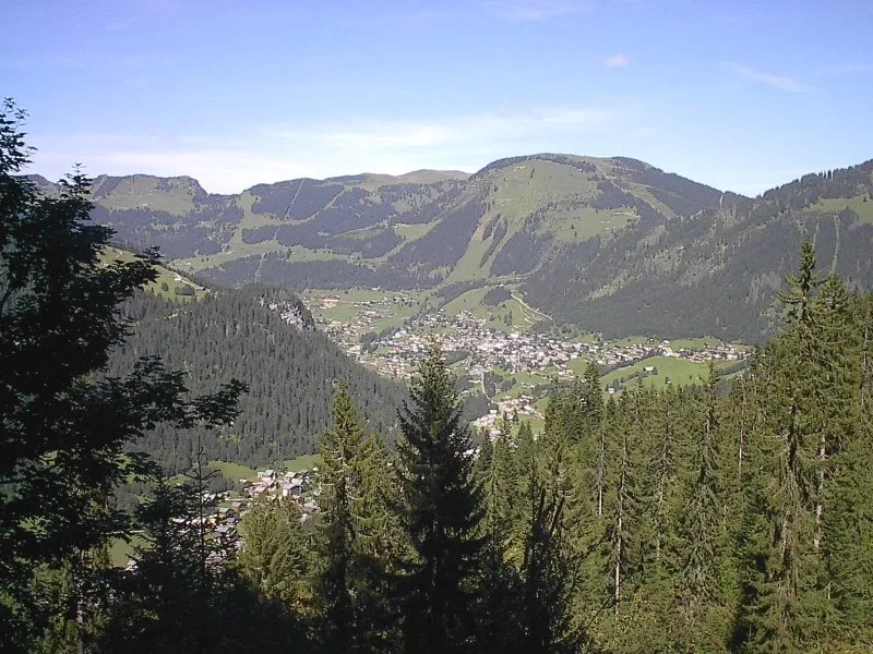
Morclan Original uploader was JJRoland at fr.wikipedia · CC BY-SA 2.5 -
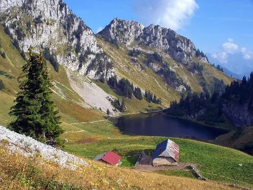
Le Linleu Pareloup · CC BY-SA 3.0 -
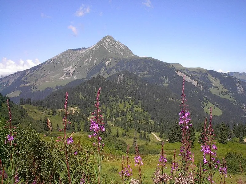
Mont de Grange The original uploader was JJRoland at French Wikipedia · CC BY-SA 2.5


Climate of Haut Sex
This month · November
A wet month
Day 0° · Night -6° · Rain 123 mm
- Hottest month
- July (day 15°)
- Coldest month
- January (night -10°)
- Wettest month
- December (126 mm)
- Driest month
- March (96 mm)
Bars: average monthly low and high temperature. Below: precipitation. Monthly averages for 1970–2000 at about 18 km resolution, adjusted for elevation. Highlighted months are mild and relatively dry. Source: WorldClim 2.1 (CC BY 4.0).
Show values as a table
| Month | Jan | Feb | Mar | Apr | May | Jun | Jul | Aug | Sep | Oct | Nov | Dec |
|---|---|---|---|---|---|---|---|---|---|---|---|---|
| Average high (°C) | -3° | -2° | 1° | 4° | 9° | 12° | 15° | 15° | 11° | 6° | 0° | -3° |
| Average low (°C) | -10° | -10° | -7° | -5° | 0° | 3° | 5° | 5° | 2° | -2° | -6° | -9° |
| Precipitation (mm) | 112 | 116 | 96 | 97 | 108 | 124 | 106 | 106 | 97 | 111 | 123 | 126 |
How to get to Haut Sex
The nearest airport is Geneva International Airport (GVA), 56 km to the west as the crow flies. The nearest large city is Lausanne, 29 km to the northwest.
Airports
- Geneva International Airport (GVA) Geneva 56 kmwest
- Annecy Meythet airport (NCY) Annecy 70 kmsouthwest
- Bern Airport (BRN) Bern 85 kmnortheast
Nearby large cities
- Lausanne Population: 139.1K 29 kmnorthwest
- Geneva Population: 201.7K 54 kmwest
- Bern Population: 121.6K 86 kmnortheast
- Besançon Population: 128.4K 123 kmnorthwest
- Basel Population: 177.6K 151 kmnorth
Straight-line distances; road distances are longer. Airport data: OurAirports.
Day trips from Haut Sex
Within 100 km: 149 historic and cultural sites, 3,704 natural sites, 504 lakes, rivers and coasts.
0–25 km434 places
- Ile de Salagnon Island 16 kmN
- Lac de Fully Lake 24 kmSE
- Lac d'Émosson Lake 24 kmS
- Lac Sup. de Fully Lake 24 kmSE
25–60 km1,582 places
- Ile d'Ogoz Island 49 kmNE
- Schwarzsee Lake 53 kmNE
- Lac de Joux Lake 57 kmNW
- Lac de la Gruyère Lake 45 kmNE
60–100 km2,341 places
- Kleiner Bremgartenwald Mountain 87 kmNE
- Strandbad Neuhaus Beach 86 kmNE
- Strandbad Manor Farm Beach 86 kmNE
- Strandbad Leissigen Beach 82 kmNE
Straight-line distances.
Nearest towns and villages
Nearby attractions & nature
Everything nearby-
Pointe de Recon Mountain, Vionnaz<0.1 km NW
-
Lac de Recon Lake, Vionnaz0.4 km NW
-
Le Mouet Mountain, Valais0.9 km SE
-
Le Linleu Mountain, France2.3 km NW
-
Tour de Don Mountain, Collombey-Muraz2.4 km SE
-
Aiguille de Braite Mountain, Valais1.6 km NW
-
Tête du Tronchet Mountain, Valais1.6 km SE
-
Rochers de Savolène Mountain, Vionnaz2 km N
Sources & licences
Data last updated: