Monthey District
Located in Valais, Switzerland Coordinates: 46°16′14″ N 6°54′10″ E
- Population
- 47,912
- 47.9K
- Elevation
- 1,214 m
- above sea level
- Local time
- UTC+01:00
- Europe/Zurich · UTC+01:00
- Places inside
- 10
- listed under Monthey District
About Monthey District
Monthey District is a district. Location: Valais, Switzerland. Population: 47,912.
In comparison
- 57 sights and natural places within 10 km Pointe de Dreveneuse, Pré Fleuri
- Listed here: Municipality: 9, Mountain: 1
Places in Monthey District
10 places-
Monthey Municipality17.9K
-
Collombey-Muraz Municipality9.5K
-
Troistorrents Municipality4.7K
-
Vouvry Municipality4.3K
-
Port-Valais Municipality4.2K
-
Vionnaz Municipality2.7K
-
Val-d'Illiez Municipality2K
-
Champéry Municipality1.3K
-
Saint-Gingolph Municipality967
-
Pointe Sud de Cornebois Mountain
Nature and heritage in Monthey District
-
Tour de Don Mountain, Collombey-Muraz
-
Morclan Mountain, Collombey-Muraz
-
Tête du Géant Mountain, Monthey
-
Pointe de Fornets Mountain, Champéry
-
Pointe de Chésery Mountain, Monthey
-
Première Dent Mountain, Champéry
Nearby attractions & nature
Everything nearby-
Tête du Tronchet Mountain, Valais4.6 km NW
-
Le Roc Mountain, France3.7 km W
-
Le Mouet Mountain, Valais5.3 km NW
-
Centre du Cyclisme Landmark, Canton of Vaud5.9 km NE
-
Etang Avale Lake, Ollon4.9 km NE
-
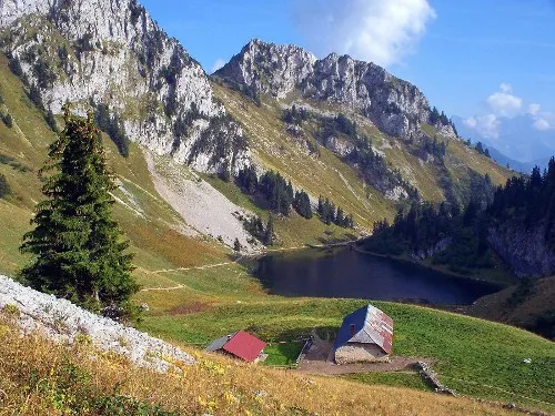 Le Linleu Mountain, France8.3 km NW
Sources & licences
Data last updated: