Glaciers de la Tour Sallière
Located in Salvan, Saint-Maurice District Coordinates: 46°07′17″ N 6°55′56″ E
- Elevation
- 2,804 m
- above sea level
- Local time
- UTC+01:00
- Europe/Zurich · UTC+01:00
- Airports
- GVA Geneva International Airport65 km
- NCY Annecy Meythet airport68 km
About Glaciers de la Tour Sallière
Glaciers de la Tour Sallière is a natural site. Location: Salvan, Saint-Maurice District. The nearest airport is Geneva International Airport (65 km). Nearby sights include Tour Sallière and Pointe d'Aboillon.
Photos of Glaciers de la Tour Sallière
-
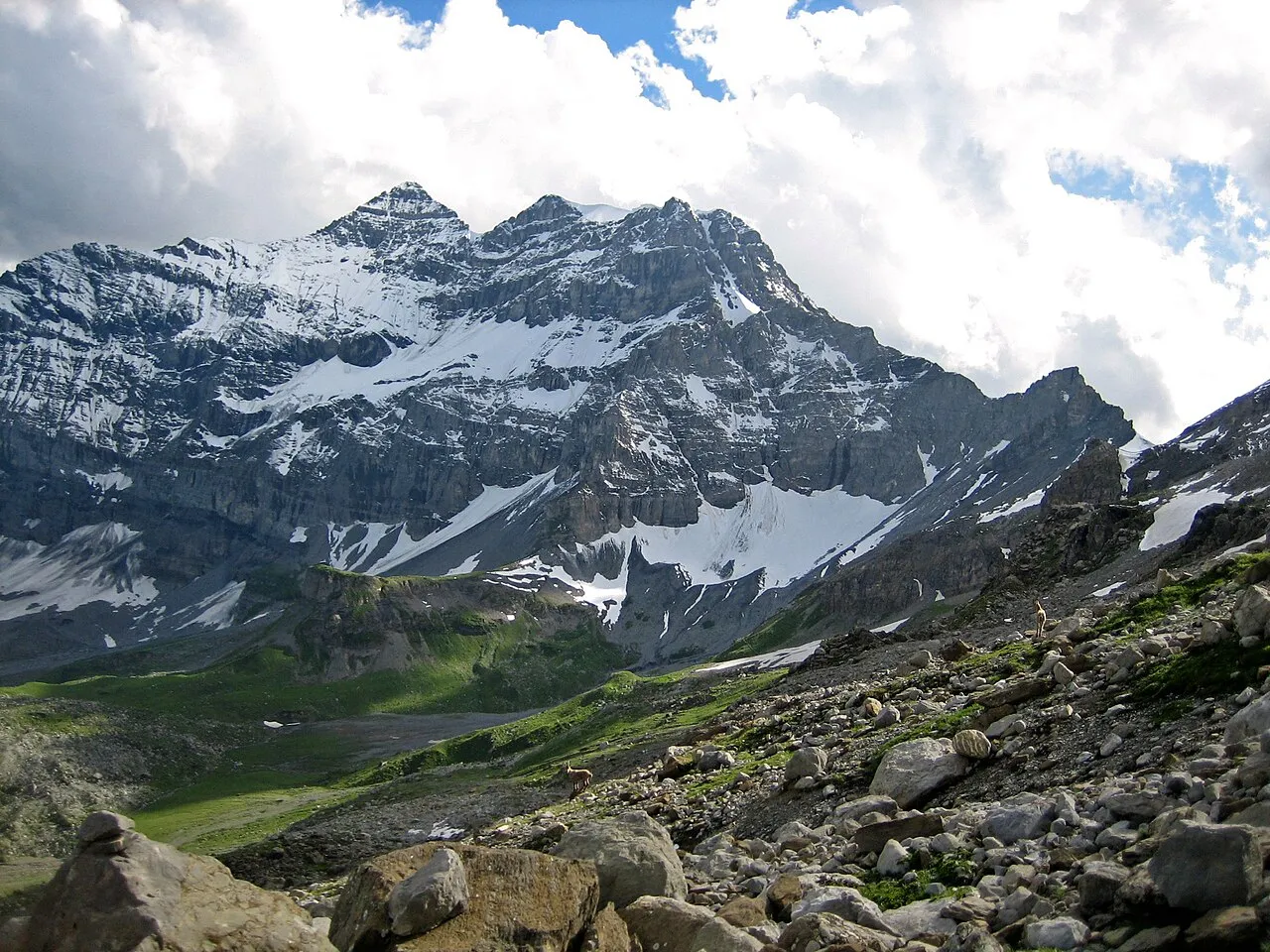
Tour Sallière Champer · CC BY-SA 3.0 -
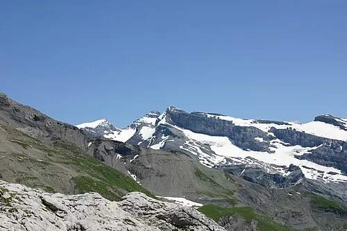
Mont Ruan Svp59 · Public domain -
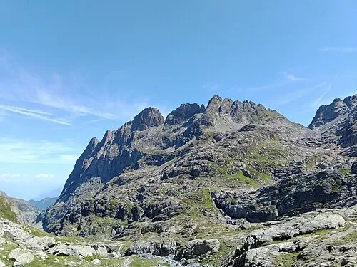
Pointe de l'Ifala Rémih · CC BY-SA 4.0 -
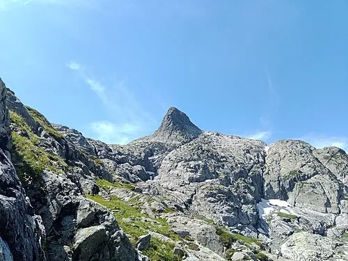
La Veudale Rémih · CC BY-SA 4.0 -
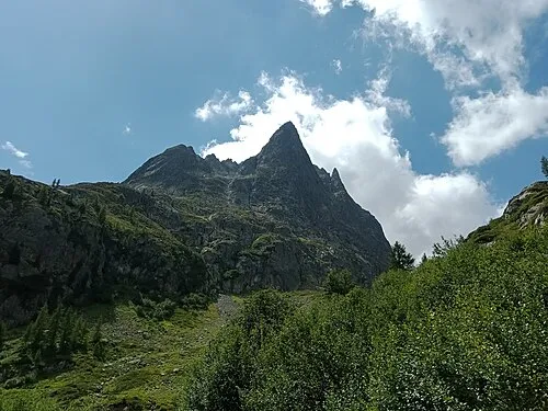
Aiguilles du Van Rémih · CC BY-SA 4.0


Climate of Glaciers de la Tour Sallière
This month · November
A wet month
Day -3° · Night -9° · Rain 172 mm
- Hottest month
- August (day 10°)
- Coldest month
- January (night -13°)
- Wettest month
- December (174 mm)
- Driest month
- September (110 mm)
Bars: average monthly low and high temperature. Below: precipitation. Monthly averages for 1970–2000 at about 18 km resolution, adjusted for elevation. Highlighted months are mild and relatively dry. Source: WorldClim 2.1 (CC BY 4.0).
Show values as a table
| Month | Jan | Feb | Mar | Apr | May | Jun | Jul | Aug | Sep | Oct | Nov | Dec |
|---|---|---|---|---|---|---|---|---|---|---|---|---|
| Average high (°C) | -7° | -7° | -6° | -3° | 2° | 6° | 9° | 10° | 6° | 2° | -3° | -6° |
| Average low (°C) | -13° | -13° | -12° | -10° | -5° | -2° | 1° | 2° | -1° | -4° | -9° | -12° |
| Precipitation (mm) | 160 | 160 | 143 | 138 | 140 | 129 | 111 | 116 | 110 | 145 | 172 | 174 |
How to get to Glaciers de la Tour Sallière
The nearest airport is Geneva International Airport (GVA), 65 km to the west as the crow flies. The nearest large city is Lausanne, 50 km to the northwest.
Airports
- Geneva International Airport (GVA) Geneva 65 kmwest
- Annecy Meythet airport (NCY) Annecy 68 kmwest
- Chambéry Aix les Bains airport (CMF) Chambéry 98 kmsouthwest
Nearby large cities
- Lausanne Population: 139.1K 50 kmnorthwest
- Geneva Population: 201.7K 61 kmwest
- Bern Population: 121.6K 100 kmnortheast
- Grenoble Population: 158.6K 141 kmsouthwest
- Besançon Population: 128.4K 144 kmnorthwest
Straight-line distances; road distances are longer. Airport data: OurAirports.
Day trips from Glaciers de la Tour Sallière
Within 100 km: 139 historic and cultural sites, 3,896 natural sites, 505 lakes, rivers and coasts.
0–25 km588 places
- Lac de Fully Lake 14 kmNE
- Lac d'Émosson Lake 4 kmSW
- Lac Sup. de Fully Lake 14 kmNE
- Lac d'Orny Lake 17 kmSE
25–60 km1,580 places
- Ile de Salagnon Island 36 kmN
- Lake Leman Lake 50 kmNW
- Lac de Derborence Lake 28 kmNE
- Arnensee Lake 37 kmNE
60–100 km2,372 places
- Strandbad Neuhaus Beach 92 kmNE
- Strandbad Manor Farm Beach 92 kmNE
- Strandbad Leissigen Beach 88 kmNE
- Ile d'Ogoz Island 65 kmN
Straight-line distances.
Nearest towns and villages

Nearby attractions & nature
Everything nearby-
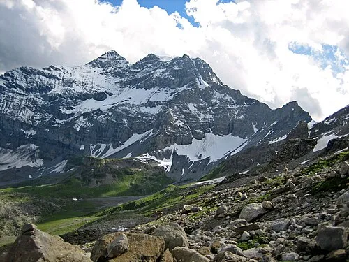 Tour Sallière Mountain, Salvan0.9 km NW
-
Pointe d'Aboillon Mountain, Salvan0.3 km NE
-
L'Epaule Mountain, Salvan0.4 km N
-
Glaciers de la Tour Sallière Natural site, Salvan0.5 km NW
-
Glaciers de la Tour Sallière Natural site, Salvan0.6 km W
-
Mont Ruan Mountain, Upper Savoy2.3 km W
-
Glacier Noir Natural site, Evionnaz1.2 km N
-
Le Dôme Mountain, Evionnaz1.4 km NW
More nature in Switzerland
-
Tête des Chaux Derrière Mountain, Salvan1.6 km SW
-
Pointe d'Etava Mountain, Salvan1.8 km SE
-
Fontanabran Mountain, Salvan2.5 km S
-
Glacier des Fonds Natural site, Salvan2 km W
-
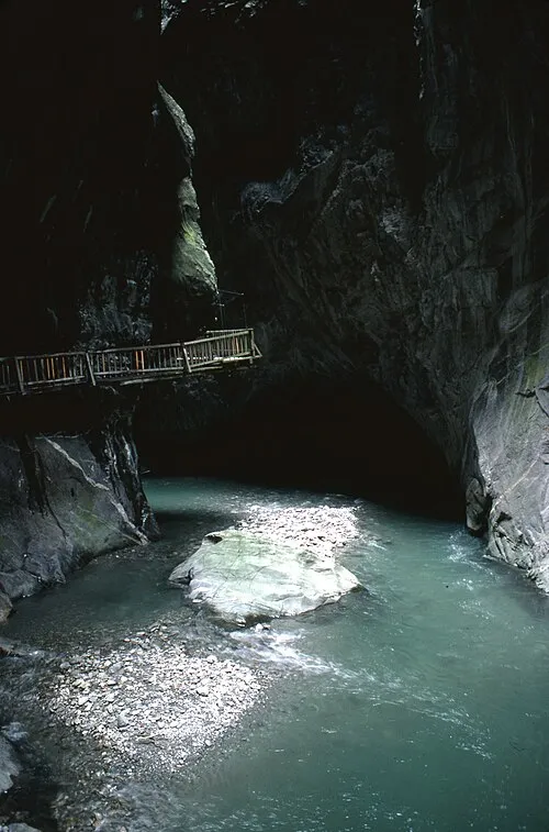 Gorges du Trient Natural site, Salvan8 km E
-
Dent d'Emaney Mountain, Salvan2.9 km SE
Sources & licences
Data last updated: