Pointe d'Etava
Located in Salvan, Saint-Maurice District Coordinates: 46°06′26″ N 6°56′40″ E
- Elevation
- 2,376 m
- above sea level
- Local time
- UTC+01:00
- Europe/Zurich · UTC+01:00
About Pointe d'Etava
Pointe d'Etava is a mountain. Location: Salvan, Saint-Maurice District. Elevation: 2,376 m.
In comparison
- No. 4004 of 7660 mountains in Switzerland by elevation
- 159 sights and natural places within 10 km Lac de Blantsin, Fontanabran
Airports nearest to Pointe d'Etava
- Geneva International Airport (GVA) Geneva 66 km
- Annecy Meythet airport (NCY) Annecy 68 km
- Chambéry Aix les Bains airport (CMF) Chambéry 98 km
Straight-line distance; airports with scheduled flights only. Source: OurAirports (public domain).
Nearest towns and villages
Nearby attractions & nature
Everything nearby-
Lac de Blantsin Lake, Salvan0.6 km SE
-
Fontanabran Mountain, Salvan0.9 km SW
-
Dent d'Emaney Mountain, Salvan1.1 km SE
-
Tête Carrée Mountain, Salvan1.2 km SE
-
Dent de Fenestral Mountain, Salvan1.3 km SE
-
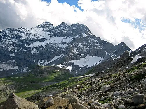 Tour Sallière Mountain, Salvan2.7 km NW
-
La Rebarme Mountain, Salvan1.6 km SE
-
Rochers Rouges Mountain, Salvan1.7 km S
More nature in Switzerland
-
Pointe d'Aboillon Mountain, Salvan1.9 km N
-
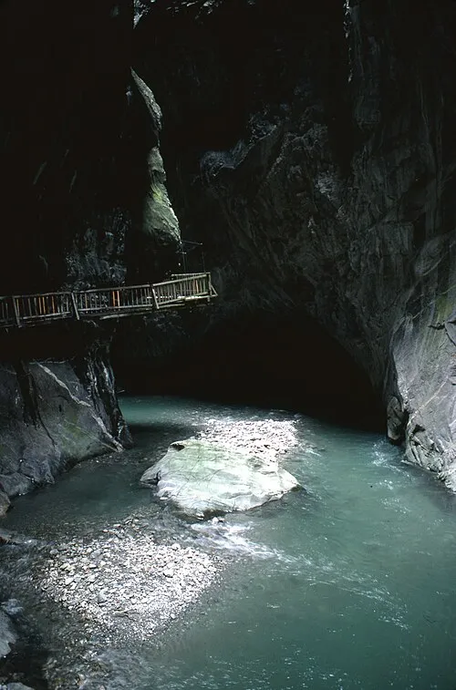 Gorges du Trient Natural site, Salvan7.3 km E
-
L'Epaule Mountain, Salvan2.2 km NW
-
Tête des Chaux Derrière Mountain, Salvan2.3 km W
-
Rionde Mountain, Salvan2.3 km S
-
Glaciers de la Tour Sallière Natural site, Salvan1.8 km NW
Sources & licences
Data last updated: