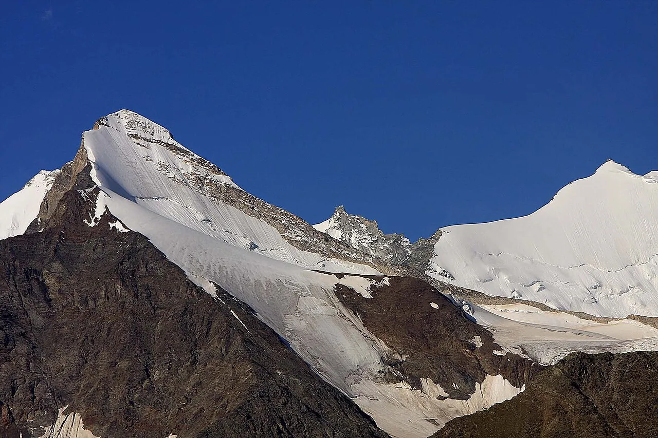
- Elevation
- 3,831 m
- above sea level
- Local time
- UTC+01:00
- Europe/Zurich · UTC+01:00
- Airports
- BRN Bern Airport89 km
- LUG Lugano Airport91 km
About Brunegghorn
Brunegghorn is a mountain. Location: Randa, Visp District. Elevation: 3,831 m.
The Brunegghorn is a mountain of the Pennine Alps, overlooking the Mattertal in the canton of Valais. It is part of the Weisshorn group. On the west side of the mountain flows the Brunegg Glacier.
Source: Wikipedia · CC BY-SA 4.0
At a glance
- Topographic prominence
- 304 m
Source: Wikidata
Climate of Brunegghorn
This month · November
A cold month
Day -9° · Night -15° · Rain 67 mm
- Hottest month
- August (day 2°)
- Coldest month
- February (night -19°)
- Wettest month
- November (67 mm)
- Driest month
- July (52 mm)
Bars: average monthly low and high temperature. Below: precipitation. Monthly averages for 1970–2000 at about 18 km resolution, adjusted for elevation. Highlighted months are mild and relatively dry. Source: WorldClim 2.1 (CC BY 4.0).
Show values as a table
| Month | Jan | Feb | Mar | Apr | May | Jun | Jul | Aug | Sep | Oct | Nov | Dec |
|---|---|---|---|---|---|---|---|---|---|---|---|---|
| Average high (°C) | -13° | -13° | -12° | -10° | -5° | -2° | 2° | 2° | -1° | -5° | -9° | -12° |
| Average low (°C) | -19° | -19° | -18° | -16° | -12° | -8° | -5° | -4° | -7° | -10° | -15° | -17° |
| Precipitation (mm) | 60 | 57 | 66 | 63 | 64 | 58 | 52 | 59 | 54 | 64 | 67 | 58 |
How to get to Brunegghorn
The nearest airport is Bern Airport (BRN), 89 km to the north as the crow flies. For international flights: Milan Malpensa International Airport (MXP) (94 km). The nearest large city is Bern, 94 km to the north.
Airports
- Bern Airport (BRN) Bern 89 kmnorth
- Lugano Airport (LUG) Agno 91 kmeast
- Milan Malpensa International Airport (MXP) Ferno (VA) 94 kmsoutheast
Nearby large cities
- Bern Population: 121.6K 94 kmnorth
- Lausanne Population: 139.1K 96 kmnorthwest
- Geneva Population: 201.7K 124 kmwest
- Zurich Population: 415.4K 151 kmnortheast
- Basel Population: 177.6K 160 kmnorth
Straight-line distances; road distances are longer. Airport data: OurAirports.
Nearest towns and villages
-
Randa Village, Randa4.1 km SE
-
St. Niklaus Municipality, Visp District5.5 km NE
-
Herbriggen Village, St. Niklaus3.8 km E
-
Sankt Niklaus Village, St. Niklaus7.2 km NE
-
Turtmann-Unterems Municipality, Leuk District7.5 km N
-
Täsch Village, Täsch6.9 km S
Nearby attractions & nature
Everything nearby-
Rossgletscher Natural site, Randa0.7 km E
-
Abberggletscher Natural site, St. Niklaus0.9 km N
-
Bruneggen Mountain, St. Niklaus1 km E
-
Holzgletscher Natural site, St. Niklaus1.1 km NE
-
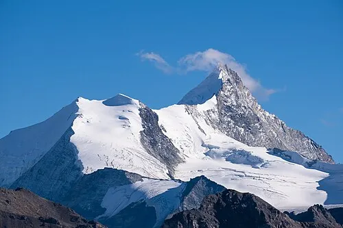 Bishorn Mountain, Turtmann-Unterems2.5 km W
-
Gross Kastel Mountain, Randa1.3 km SE
-
Chli Kastel Mountain, Randa1.5 km SE
-
Schöllihorn Mountain, Turtmann-Unterems1.5 km NW
Sources & licences
Data last updated: · 2 independent sources