- Elevation
- 4,151 m
- above sea level
- Local time
- UTC+01:00
- Europe/Zurich · UTC+01:00
- Airports
- BRN Bern Airport90 km
- LUG Lugano Airport93 km
About Bishorn
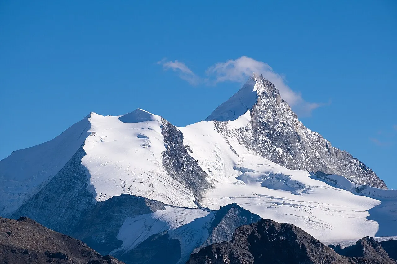
Bishorn is a mountain. Location: Turtmann-Unterems, Leuk District. Elevation: 4,151 m.
The Bishorn (4,151 m) is a mountain in the Pennine Alps in Switzerland, just north of the Weisshorn. The mountain has two distinct summits, separated by a 600-metre easy-angled snow ridge. The west and higher summit (4,151 m), first ascent by G. S. Barnes and R. Chessyre-Walker with guides Joseph Imboden and J. M. Chanton on 18 August 1884. The east summit (Pointe Burnaby, 4,134 m), first ascent by Elizabeth Burnaby with guides Joseph Imboden and Peter Sarbach on 6 May 1884.
Source: Wikipedia · CC BY-SA 4.0
At a glance
- Topographic prominence
- 90 m
Source: Wikidata
Photos of Bishorn
-

Whgler · CC BY-SA 4.0 -

Whgler · CC BY-SA 4.0 -

Earth Science and Remote Sensing Unit , Lyndon B. Johnson Space Center · Public domain -

Aichhre · CC BY-SA 4.0 -

Paradise Chronicle · CC BY-SA 4.0


Climate of Bishorn
This month · November
A cold month
Day -12° · Night -17° · Rain 67 mm
- Hottest month
- August (day 0°)
- Coldest month
- February (night -21°)
- Wettest month
- November (67 mm)
- Driest month
- July (52 mm)
Bars: average monthly low and high temperature. Below: precipitation. Monthly averages for 1970–2000 at about 18 km resolution, adjusted for elevation. Highlighted months are mild and relatively dry. Source: WorldClim 2.1 (CC BY 4.0).
Show values as a table
| Month | Jan | Feb | Mar | Apr | May | Jun | Jul | Aug | Sep | Oct | Nov | Dec |
|---|---|---|---|---|---|---|---|---|---|---|---|---|
| Average high (°C) | -15° | -15° | -14° | -12° | -7° | -4° | -1° | 0° | -3° | -7° | -12° | -14° |
| Average low (°C) | -21° | -21° | -20° | -18° | -14° | -10° | -7° | -6° | -9° | -12° | -17° | -19° |
| Precipitation (mm) | 60 | 57 | 66 | 63 | 64 | 58 | 52 | 59 | 54 | 64 | 67 | 58 |
How to get to Bishorn
The nearest airport is Bern Airport (BRN), 90 km to the north as the crow flies. For international flights: Milan Malpensa International Airport (MXP) (96 km). The nearest large city is Lausanne, 94 km to the northwest.
Airports
- Bern Airport (BRN) Bern 90 kmnorth
- Lugano Airport (LUG) Agno 93 kmeast
- Milan Malpensa International Airport (MXP) Ferno (VA) 96 kmsoutheast
Nearby large cities
- Lausanne Population: 139.1K 94 kmnorthwest
- Bern Population: 121.6K 95 kmnorth
- Geneva Population: 201.7K 122 kmwest
- Zurich Population: 415.4K 153 kmnortheast
- Basel Population: 177.6K 160 kmnorth
Straight-line distances; road distances are longer. Airport data: OurAirports.
Day trips from Bishorn
Within 100 km: 109 historic and cultural sites, 5,511 natural sites, 661 lakes, rivers and coasts.
0–25 km719 places
- Stausee Mattmark Lake 21 kmSE
- Innersts Seewji Lake 15 kmNE
- Illsee Lake 17 kmN
- Unterer Märetschisee Lake 16 kmN
25–60 km2,383 places
- Strandbad Leissigen Beach 60 kmN
- Oeschinen Lake Lake 42 kmN
- Lac de Fully Lake 48 kmW
- Lac de Derborence Lake 42 kmNW
60–100 km3,179 places
- Kleiner Bremgartenwald Mountain 97 kmN
- Strandbad Neuhaus Beach 63 kmN
- Strandbad Manor Farm Beach 63 kmN
- Strandbad Iseltwald Beach 69 kmN
Straight-line distances.
Nearest towns and villages
-
Randa Municipality, Visp District5.5 km SE
-
Randa Village, Randa5.6 km E
-
St. Niklaus Municipality, Visp District7.9 km NE
-
Täsch Village, Täsch7.3 km SE
-
Täsch Municipality, Visp District10 km SE
-
Sankt Niklaus Village, St. Niklaus9.5 km NE
Nearby attractions & nature
Everything nearby-
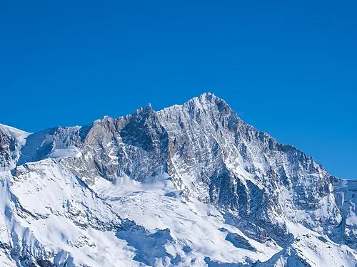 Weisshorn Mountain, Anniviers1.9 km S
-
Grand Gendarme Mountain, Anniviers1.2 km S
-
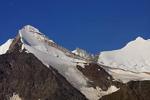 Brunegghorn Mountain, Randa2.5 km E
-
Bisgletscher Natural site, Randa1.6 km SE
-
Tête de Milon Mountain, Oberems1.8 km W
-
Glacier du Weisshorn Natural site, Anniviers1.8 km SW
-
Turtmanngletscher Natural site, Turtmann-Unterems1.8 km NW
-
Glacier du Weisshorn Natural site, Anniviers1.9 km SW
Sources & licences
Data last updated: · 2 independent sources