Täsch
Located in Visp District, Valais Coordinates: 46°03′15″ N 7°48′40″ E
- Population
- 1,314
- 1.3K
- Elevation
- 2,342 m
- above sea level
- Local time
- UTC+01:00
- Europe/Zurich · UTC+01:00
- Places inside
- 17
- listed under Täsch
About Täsch
Täsch is a municipality. Location: Visp District, Valais. Population: 1,314. Elevation: 2,342 m.
In comparison
- No. 7 of 19 places in Visp District by population
- Nearest larger town: Zermatt, 6 km SW
- 135 sights and natural places within 10 km Sattelspitz, Bösentrift
- Listed here: Mountain: 9, Natural site: 6, Lake: 1, Village: 1
Places in Täsch
17 places-
Täsch Village831
-
Alphubelgletscher Natural site
-
Getschung Mountain
-
Hohlichtgletscher Natural site
-
Kinhorn Mountain
-
Längfluegletscher Natural site
-
Leiterspitzen Mountain
-
Mellichgletscher Natural site
-
Oberrothorn Mountain
-
Platthorn Mountain
-
Rimpfischhorn Mountain
-
Sattelspitz Mountain
-
Sparrenflue Mountain
-
Spitzi Flue Mountain
-
Weingartengletscher Natural site
-
Weingartengletscher Natural site
-
Weingartensee Lake
Nearby attractions & nature
Everything nearby-
Bösentrift Mountain, Zermatt1.4 km SW
-
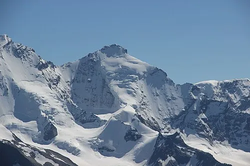 Täschhorn Mountain, Saas-Fee4.8 km NE
-
Fluehorn Mountain, Zermatt3.7 km S
-
Pennine Alps Mountain, Valais3.7 km NE
-
Nikolaital Natural site, Valais4.3 km NW
-
Alphubel Mountain, Saas-Fee4.2 km E
-
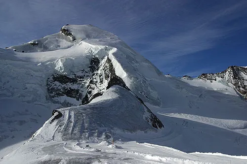 Allalinhorn Mountain, Saas-Almagell6.5 km E
-
Kinfelsen Mountain, Randa4.4 km NE
Sources & licences
Data last updated: