Täschhorn
Located in Saas-Fee, Visp District Coordinates: 46°05′00″ N 7°51′26″ E
- Elevation
- 4,491 m
- above sea level
- Local time
- UTC+01:00
- Europe/Zurich · UTC+01:00
About Täschhorn
Täschhorn is a mountain. Location: Saas-Fee, Visp District. Elevation: 4,491 m.
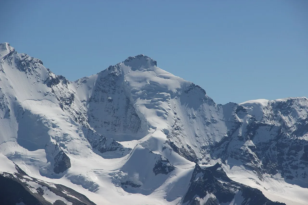
The Täschhorn (4,491 metres (14,734 ft)) is a mountain in the Pennine range of the Alps in Switzerland. There are no easy mountaineering routes to its summit, and it is regarded as being among the top ten 4,000-metre mountains in the Alps for difficulty, and "one of the highest, finest and least accessible 4000m mountains". It lies immediately north of the Alphubel, and south of the Dom within the Mischabel range, and is very similar in shape to the Dom when seen from the upper Zermatt valley.
Read more on Wikipedia Text: Wikipedia contributors · CC BY-SA 4.0 · shortened
At a glance
- Topographic prominence
- 213 m
Source: Wikidata
In comparison
- No. 6 of 7660 mountains in Switzerland by elevation
- 123 sights and natural places within 10 km Dom, Weingartengletscher
Airports nearest to Täschhorn
- Lugano Airport (LUG) Agno 82 km
- Milan Malpensa International Airport (MXP) Ferno (VA) 84 km
- Bern Airport (BRN) Bern 96 km
Straight-line distance; airports with scheduled flights only. Source: OurAirports (public domain).
Nearest towns and villages
Nearby attractions & nature
Everything nearby-
Dom Mountain, Randa1.2 km N
-
Mischabelhörner Mountain, Valais1.3 km N
-
Weingartengletscher Natural site, Täsch1.2 km SW
-
Kingletscher Natural site, Randa1.3 km W
-
Kinfelsen Mountain, Randa1.5 km W
-
Pennine Alps Mountain, Valais1.8 km W
-
Kinhorn Mountain, Täsch1.9 km W
-
Festigletscher Natural site, Randa2.2 km NW
Sources & licences
Data last updated: · 2 independent sources