Rimpfischhorn
Located in Täsch, Visp District Coordinates: 46°01′23″ N 7°53′02″ E
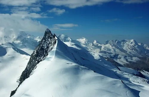
- Elevation
- 4,199 m
- above sea level
- Local time
- UTC+01:00
- Europe/Zurich · UTC+01:00
About Rimpfischhorn
Rimpfischhorn is a mountain. Location: Täsch, Visp District. Elevation: 4,199 m.
The Rimpfischhorn (4,199 m) is a mountain in the Pennine Alps of Switzerland. Along its north ridge lies the prominent sub-peak Grosser Gendarm (4107 m). The first ascent of the mountain was by Leslie Stephen and Robert Living with guides Melchior Anderegg and Johann Zumtaugwald on 9 September 1859. Their route of ascent was from Fluh Alp via the Rimpfischwänge.
Read more on Wikipedia Text: Wikipedia contributors · CC BY-SA 4.0 · shortened
At a glance
- Topographic prominence
- 647 m
Source: Wikidata
In comparison
- No. 23 of 7660 mountains in Switzerland by elevation
- 124 sights and natural places within 10 km Adlergletscher, Mellichgletscher
Airports nearest to Rimpfischhorn
- Milan Malpensa International Airport (MXP) Ferno (VA) 79 km
- Lugano Airport (LUG) Agno 80 km
- Turin Airport (TRN) Caselle Torinese (TO) 93 km
Straight-line distance; airports with scheduled flights only. Source: OurAirports (public domain).
Nearest towns and villages
Nearby attractions & nature
Everything nearby-
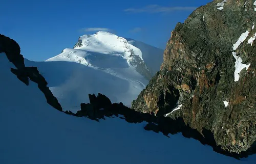 Strahlhorn Mountain, Visp1.8 km SE
-
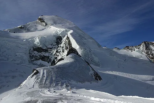 Allalinhorn Mountain, Saas-Almagell2.7 km N
-
Adlergletscher Natural site, Zermatt1.3 km SW
-
Adlerhorn Mountain, Zermatt1.6 km S
-
Mellichgletscher Natural site, Täsch1.6 km NW
-
Längfluegletscher Natural site, Täsch1.7 km W
-
Strahlchnubel Mountain, Zermatt2.1 km SW
-
Fluchthorn Mountain, Saas-Almagell2.4 km E
Sources & licences
Data last updated: · 2 independent sources