- Elevation
- 3,243 m
- above sea level
- Local time
- UTC+01:00
- Europe/Zurich · UTC+01:00
- Airports
- MXP Milan Malpensa International Airport79 km
- LUG Lugano Airport81 km
About Strahlchnubel
Strahlchnubel is a mountain. Location: Zermatt, Visp District. Elevation: 3,243 m. The nearest airport is Milan Malpensa International Airport (79 km). Nearby sights include Rimpfischhorn and Adlergletscher.
Climate of Strahlchnubel
This month · November
A cold month
Day -5° · Night -10° · Rain 52 mm
- Hottest month
- August (day 6°)
- Coldest month
- February (night -15°)
- Wettest month
- March (54 mm)
- Driest month
- February (44 mm)
Bars: average monthly low and high temperature. Below: precipitation. Monthly averages for 1970–2000 at about 18 km resolution, adjusted for elevation. Highlighted months are mild and relatively dry. Source: WorldClim 2.1 (CC BY 4.0).
Show values as a table
| Month | Jan | Feb | Mar | Apr | May | Jun | Jul | Aug | Sep | Oct | Nov | Dec |
|---|---|---|---|---|---|---|---|---|---|---|---|---|
| Average high (°C) | -9° | -9° | -8° | -7° | -2° | 2° | 5° | 6° | 3° | -1° | -5° | -7° |
| Average low (°C) | -14° | -15° | -14° | -12° | -8° | -4° | -1° | 0° | -3° | -6° | -10° | -13° |
| Precipitation (mm) | 48 | 44 | 54 | 52 | 54 | 49 | 46 | 52 | 47 | 52 | 52 | 44 |
How to get to Strahlchnubel
The nearest airport is Milan Malpensa International Airport (MXP), 79 km to the southeast as the crow flies. The nearest large city is Bern, 109 km to the north.
Airports
- Milan Malpensa International Airport (MXP) Ferno (VA) 79 kmsoutheast
- Lugano Airport (LUG) Agno 81 kmeast
- Turin Airport (TRN) Caselle Torinese (TO) 91 kmsouth
Nearby large cities
- Bern Population: 121.6K 109 kmnorth
- Lausanne Population: 139.1K 111 kmnorthwest
- Geneva Population: 201.7K 135 kmwest
- Zurich Population: 415.4K 160 kmnorth
- Basel Population: 177.6K 174 kmnorth
Straight-line distances; road distances are longer. Airport data: OurAirports.
Nearest towns and villages
Nearby attractions & nature
Everything nearby-
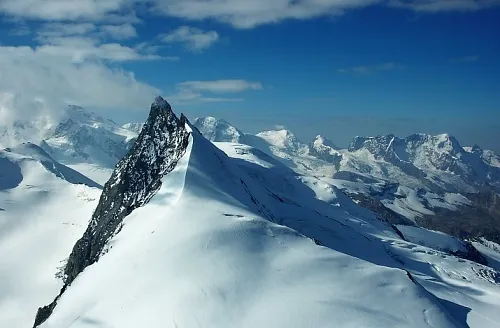 Rimpfischhorn Mountain, Täsch2.1 km NE
-
Adlergletscher Natural site, Zermatt0.9 km NE
-
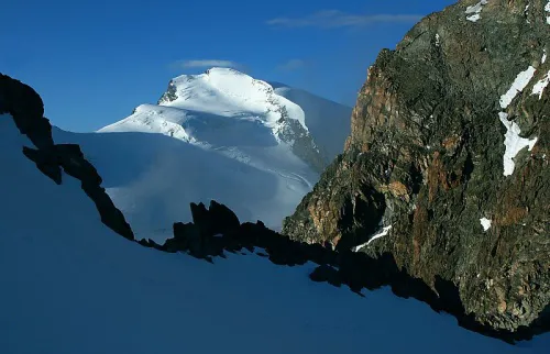 Strahlhorn Mountain, Visp2.8 km E
-
Längfluegletscher Natural site, Täsch1.5 km N
-
Findelgletscher Natural site, Zermatt1.5 km S
-
Adlerhorn Mountain, Zermatt1.7 km E
-
Pfulwe Mountain, Zermatt1.7 km NW
-
Spitzi Flue Mountain, Täsch2.3 km NW
More nature in Switzerland
-
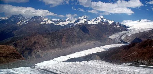 Gornergrat Mountain, Zermatt6.9 km SW
-
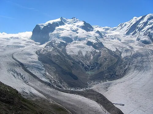 Dufourspitze Mountain, Zermatt7.9 km S
-
Stockhorn Mountain, Zermatt3.4 km SW
-
Fluehorn Mountain, Zermatt3.4 km NW
-
Schwarzberghorn Mountain, Zermatt3.5 km E
-
Stockchnubel Mountain, Zermatt4.2 km SW
Sources & licences
Data last updated: