Gornergrat
Located in Zermatt, Visp District Coordinates: 45°59′00″ N 7°47′05″ E
- Elevation
- 3,135 m
- above sea level
- Local time
- UTC+01:00
- Europe/Zurich · UTC+01:00
About Gornergrat
Gornergrat is a mountain. Location: Zermatt, Visp District. Elevation: 3,135 m.
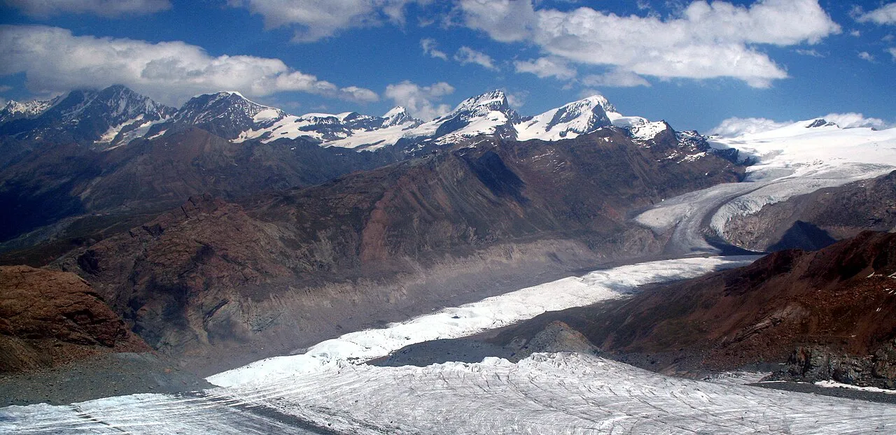
The Gornergrat (English: Gorner Ridge; 3,135 m (10,285 ft)) is a rocky ridge of the Pennine Alps, overlooking the Gorner Glacier south-east of Zermatt in Switzerland. It can be reached from Zermatt by the Gornergrat rack railway (GGB), the highest open-air railway in Europe. Between the Gornergrat railway station (3,090 m (10,140 ft)) and the summit is the Kulm Hotel (3,120 m (10,240 ft)). In the late 1960s two astronomical observatories were installed in the two towers of the Kulmhotel Gornergrat.
Read more on Wikipedia Text: Wikipedia contributors · CC BY-SA 4.0 · shortened
At a glance
- Topographic prominence
- 40 m
Source: Wikidata
In comparison
- No. 760 of 7660 mountains in Switzerland by elevation
- 103 sights and natural places within 10 km Gornergratsee, Hohtälli
Nearest towns and villages
Nearby attractions & nature
Everything nearby-
Gornergratsee Lake, Zermatt0.6 km NW
-
Hohtälli Mountain, Zermatt1.5 km NE
-
Rote Nase Mountain, Zermatt1.9 km E
-
Riffelhorn Mountain, Zermatt2 km W
-
Gugle Mountain, Zermatt2.1 km NW
-
Riffelsee Lake, Zermatt1.8 km W
-
Gornergletscher Natural site, Switzerland2.7 km E
-
Grüensee Lake, Zermatt2.5 km N
More nature in Switzerland
-
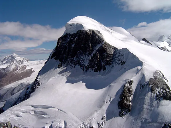 Breithorn Mountain, Zermatt5.5 km SW
-
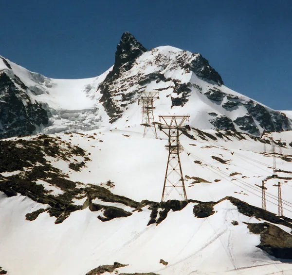 Klein Matterhorn Mountain, Zermatt6.6 km SW
-
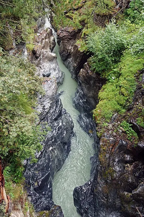 Gorner gorge Natural site, Zermatt4.5 km NW
-
Gagenhaupt Mountain, Zermatt3.1 km W
-
Chli Triftji Mountain, Zermatt3.5 km SW
-
Stockchnubel Mountain, Zermatt3.7 km E
Sources & licences
Data last updated: · 2 independent sources