- Elevation
- 3,668 m
- above sea level
- Local time
- UTC+01:00
- Europe/Zurich · UTC+01:00
- Airports
- MXP Milan Malpensa International Airport93 km
- LUG Lugano Airport93 km
About Ober Äschhorn
Ober Äschhorn is a mountain. Location: Zermatt, Visp District. Elevation: 3,668 m. The nearest airport is Milan Malpensa International Airport (93 km). Nearby sights include Zinalrothorn and Unter Äschhorn.
Climate of Ober Äschhorn
This month · November
A cold month
Day -8° · Night -14° · Rain 67 mm
- Hottest month
- August (day 3°)
- Coldest month
- February (night -18°)
- Wettest month
- November (67 mm)
- Driest month
- July (52 mm)
Bars: average monthly low and high temperature. Below: precipitation. Monthly averages for 1970–2000 at about 18 km resolution, adjusted for elevation. Highlighted months are mild and relatively dry. Source: WorldClim 2.1 (CC BY 4.0).
Show values as a table
| Month | Jan | Feb | Mar | Apr | May | Jun | Jul | Aug | Sep | Oct | Nov | Dec |
|---|---|---|---|---|---|---|---|---|---|---|---|---|
| Average high (°C) | -12° | -12° | -11° | -9° | -4° | -1° | 3° | 3° | 0° | -4° | -8° | -11° |
| Average low (°C) | -18° | -18° | -17° | -15° | -11° | -7° | -4° | -3° | -6° | -9° | -14° | -16° |
| Precipitation (mm) | 60 | 57 | 66 | 63 | 64 | 58 | 52 | 59 | 54 | 64 | 67 | 58 |
How to get to Ober Äschhorn
The nearest airport is Milan Malpensa International Airport (MXP), 93 km to the southeast as the crow flies. The nearest large city is Lausanne, 97 km to the northwest.
Airports
- Milan Malpensa International Airport (MXP) Ferno (VA) 93 kmsoutheast
- Lugano Airport (LUG) Agno 93 kmeast
- Turin Airport (TRN) Caselle Torinese (TO) 96 kmsouth
Nearby large cities
- Lausanne Population: 139.1K 97 kmnorthwest
- Bern Population: 121.6K 101 kmnorth
- Geneva Population: 201.7K 122 kmwest
- Zurich Population: 415.4K 159 kmnortheast
- Basel Population: 177.6K 167 kmnorth
Straight-line distances; road distances are longer. Airport data: OurAirports.
Day trips from Ober Äschhorn
Within 100 km: 95 historic and cultural sites, 5,301 natural sites, 643 lakes, rivers and coasts.
0–25 km703 places
- Stausee Mattmark Lake 20 kmE
- Innersts Seewji Lake 21 kmN
- Illsee Lake 23 kmN
- Unterer Märetschisee Lake 22 kmN
25–60 km2,208 places
- Oeschinen Lake Lake 49 kmN
- Lac de Fully Lake 49 kmW
- Lac de Derborence Lake 45 kmNW
- Daubensee Lake 40 kmN
60–100 km3,128 places
- Strandbad Neuhaus Beach 69 kmN
- Strandbad Manor Farm Beach 69 kmN
- Strandbad Leissigen Beach 66 kmN
- Strandbad Iseltwald Beach 75 kmN
Straight-line distances.
Nearest towns and villages
Nearby attractions & nature
Everything nearby-
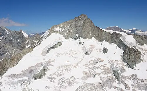 Zinalrothorn Mountain, Anniviers1.4 km W
-
Unter Äschhorn Mountain, Zermatt0.6 km SE
-
Rothorngletscher Natural site, Zermatt0.7 km S
-
Hohlichtgletscher Natural site, Täsch1 km NE
-
Furgghorn Mountain, Zermatt1.3 km SE
-
Eseltschuggen Mountain, Zermatt1.4 km SW
-
Pointe Sud de Moming Mountain, Anniviers1.7 km NW
-
Pointe du Mountet Mountain, Anniviers1.7 km W
More nature in Switzerland
-
Wisshorn Mountain, Zermatt3.3 km SE
-
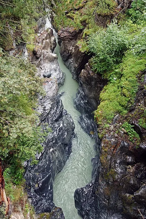 Gorner gorge Natural site, Zermatt6.2 km SE
-
Triftgletscher Natural site, Zermatt1.9 km SW
-
Mettelhorn Mountain, Zermatt2.7 km E
-
Punta Margherita Mountain, Zermatt3.1 km SW
-
Wellenkuppe Mountain, Zermatt3.1 km SW
Sources & licences
Data last updated: