Borger-Odoorn Municipality
Located in Drenthe, The Netherlands Coordinates: 52°54′18″ N 6°52′50″ E
- Population
- 25,598
- 25.6K
- Elevation
- 5 m
- above sea level
- Local time
- UTC+01:00
- Europe/Amsterdam · UTC+01:00
- Places inside
- 28
- listed under Borger-Odoorn Municipality
About Borger-Odoorn Municipality
Borger-Odoorn Municipality is a district. Location: Drenthe, The Netherlands. Population: 25,598.
In comparison
- Listed here: Village: 28
Places in Borger-Odoorn Municipality
28 places-
Odoorn Village1.8K
-
Borger Village4.6K
-
Nieuw-Buinen Village4.7K
-
Valthermond Village3.4K
-
Tweede Exloërmond Village2.4K
-
Exloo Village1.5K
-
Valthe Village1.1K
-
Buinen Village750
-
Klijndijk Village685
-
Drouwenermond Village530
-
Buinerveen Village430
-
Drouwen Village425
-
Eerste Exloërmond Village365
-
Ees Village310
-
Odoornerveen Village310
-
Drouwenerveen Village250
-
Bronneger Village110
-
Eesergroen Village85
-
Westdorp Village60
-
Zandberg Village55
-
Exloërveen Village50
-
2e Valthermond Village45
-
Bronnegerveen Village
-
Eeserveen Village
-
Ellertshaar Village
-
Exloërkijl Village
-
Valthermussel Village
-
Zuideind Village
Nearby attractions & nature
Everything nearby-
Bourtange Fortress Historic site, Westerwolde Municipality24 km NE
-
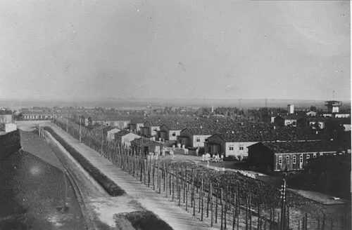 Early Camp Neusustrum Historic site, Sustrum23 km E
-
Bourtange Fortress Museum Museum, Westerwolde Municipality24 km NE
-
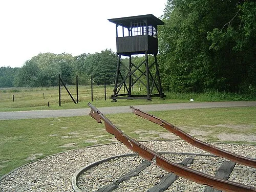 Police Custody Camp Westerbork Historic site, Gemeente Midden-Drenthe19 km W
-
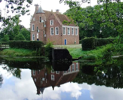 Wedderborg Historic site, Westerwolde Municipality22 km NE
-
Tannenkamp Natural site, Lower Saxony24 km E
Sources & licences
Data last updated: