Den Hool
Located in Coevorden, Drenthe Coordinates: 52°42′57″ N 6°48′05″ E
- Elevation
- 16 m
- above sea level
- Local time
- UTC+01:00
- Europe/Amsterdam · UTC+01:00
About Den Hool
Den Hool is a village. Location: Coevorden, Drenthe. Elevation: 16 m.
Den Hool is a hamlet in the Netherlands and it is part of the Coevorden municipality in Drenthe. Den Hool is not a statistical entity, and the postal authorities have placed it under Holsloot. It was first mentioned in 1634 as Schans ten Hole, and means "the hollow". In 1840, it was home to 40 people. Nowadays, it has about 15 houses.
Read more on Wikipedia Text: Wikipedia contributors · CC BY-SA 4.0 · shortened
In comparison
Nearby attractions & nature
Everything nearby-
Breiberg Mountain, Coevorden10 km SW
-
Kniepenberg Mountain, Wielen21 km S
-
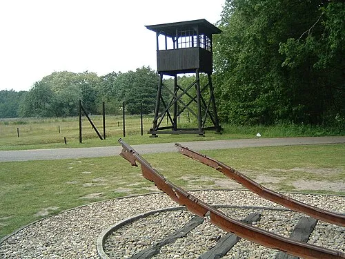 Police Custody Camp Westerbork Historic site, Gemeente Midden-Drenthe20 km NW
-
Auf dem Bült Mountain, Twist20 km SE
-
Weißer Berg Mountain, Itterbeck24 km S
-
Spöllberg Mountain, Gölenkamp25 km S
Sources & licences
Data last updated: · 2 independent sources