Oranjedorp
Located in Gemeente Emmen, Drenthe Coordinates: 52°44′27″ N 6°56′45″ E
- Population
- 425
- 425
- Elevation
- 20 m
- above sea level
- Local time
- UTC+01:00
- Europe/Amsterdam · UTC+01:00
About Oranjedorp
Oranjedorp is a village. Location: Gemeente Emmen, Drenthe. Population: 425. Elevation: 20 m.
Oranjedorp is a village in the Netherlands and it is part of the Emmen municipality in Drenthe. Oranjedorp started to develop when the Oranjekanaal was completed in 1858, and peat exploitation started in the area. In 1867, it was first mentioned as Oranjedorp. Even though the postal authorities have placed it under Nieuw-Dordrecht. it is considered a village. In 1932, it was home to 932 people. No church was built in Oranjedorp.
Read more on Wikipedia Text: Wikipedia contributors · CC BY-SA 4.0 · shortened
In comparison
- No. 21 of 28 places in Gemeente Emmen by population
- Nearest larger town: Nieuw-Dordrecht, 2 km NE
Nearby attractions & nature
Everything nearby-
Auf dem Bült Mountain, Twist14 km SE
-
Großer Sand Natural site, Lower Saxony17 km E
-
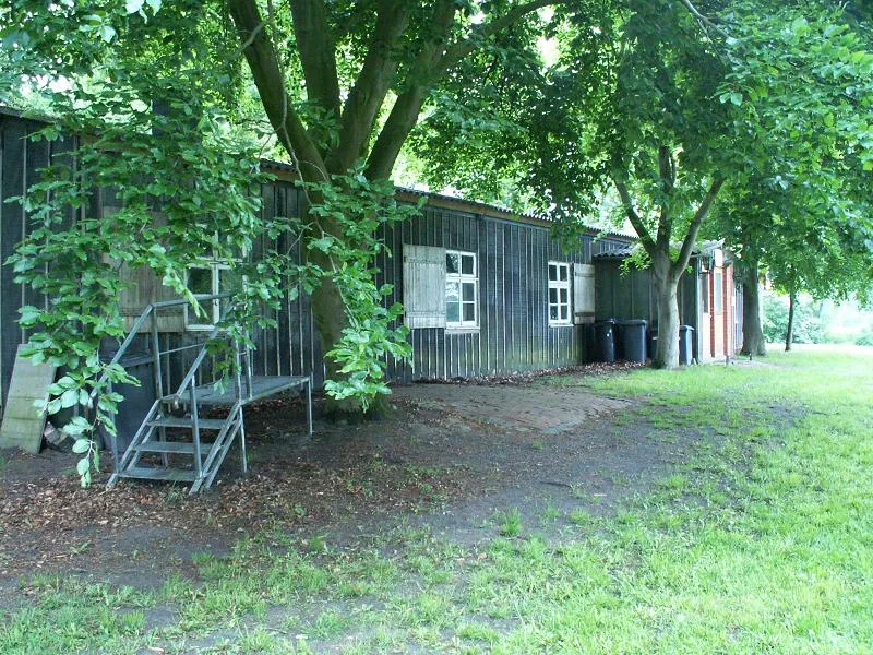 Meppen-Versen Concentration Camp Historic site, Meppen19 km E
-
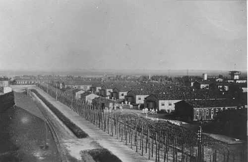 Early Camp Neusustrum Historic site, Sustrum25 km NE
-
Breiberg Mountain, Coevorden20 km W
-
Reinkingsbusch Natural site, Haren (Ems)18 km E
Sources & licences
Data last updated: · 2 independent sources