Barger-Oosterveen
Located in Gemeente Emmen, Drenthe Coordinates: 52°42′06″ N 6°58′43″ E
- Population
- 305
- 305
- Elevation
- 20 m
- above sea level
- Local time
- UTC+01:00
- Europe/Amsterdam · UTC+01:00
About Barger-Oosterveen
Barger-Oosterveen is a village. Location: Gemeente Emmen, Drenthe. Population: 305. Elevation: 20 m.
Barger-Oosterveen is a hamlet in the Netherlands and is part of the Emmen municipality in Drenthe. Barger-Oosterveen is a statistical entity, however the postal authorities have placed it under Klazienaveen. It was first mentioned in 1867 as Ooster Veen, and means "The eastern bog near Barge".
Read more on Wikipedia Text: Wikipedia contributors · CC BY-SA 4.0 · shortened
In comparison
- No. 23 of 28 places in Gemeente Emmen by population
- Nearest larger town: Klazienaveen, 3 km N
- 2 sights and natural places within 10 km Twister Aa, Auf dem Bült
Climate of Barger-Oosterveen
Best months for sightseeing: June–August.
| Month | Jan | Feb | Mar | Apr | May | Jun | Jul | Aug | Sep | Oct | Nov | Dec |
|---|---|---|---|---|---|---|---|---|---|---|---|---|
| Average high (°C) | 5° | 5° | 9° | 13° | 18° | 20° | 22° | 22° | 18° | 14° | 9° | 6° |
| Average low (°C) | 0° | -1° | 1° | 3° | 7° | 10° | 12° | 12° | 9° | 6° | 3° | 1° |
| Precipitation (mm) | 66 | 47 | 62 | 44 | 53 | 75 | 75 | 55 | 67 | 69 | 69 | 74 |
Monthly averages for 1970–2000 at about 18 km resolution, adjusted for elevation. Highlighted months are mild and relatively dry. Source: WorldClim 2.1 (CC BY 4.0).
Airports nearest to Barger-Oosterveen
- Groningen Airport Eelde (GRQ) Groningen 54 km
- Münster Osnabrück Airport (FMO) Greven 80 km
- Bremen Airport (BRE) Bremen 128 km
Straight-line distance; airports with scheduled flights only. Source: OurAirports (public domain).
Nearby attractions & nature
Everything nearby-
Auf dem Bült Mountain, Twist9.7 km SE
-
Twister Aa River, Twist8.8 km SE
-
Großer Sand Natural site, Lower Saxony16 km NE
-
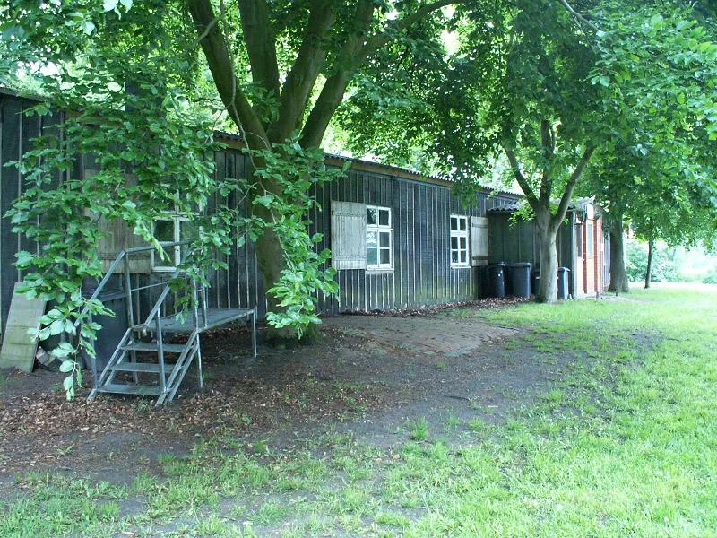 Meppen-Versen Concentration Camp Historic site, Meppen16 km E
-
Kniepenberg Mountain, Wielen25 km SW
-
Varloher Sand Natural site, Lower Saxony21 km E
Sources & licences
Data last updated: · 2 independent sources