Witteveen
Located in Gemeente Midden-Drenthe, Drenthe Coordinates: 52°48′48″ N 6°39′40″ E
- Population
- 400
- 400
- Elevation
- 20 m
- above sea level
- Local time
- UTC+01:00
- Europe/Amsterdam · UTC+01:00
About Witteveen
Witteveen is a village. Location: Gemeente Midden-Drenthe, Drenthe. Population: 400. Elevation: 20 m.
Witteveen (Dutch pronunciation: [ˈʋɪtəˌveːn]; English: White Bog) is a village in the Dutch province of Drenthe. It is a part of the municipality of Midden-Drenthe, and lies about 16 km northeast of Hoogeveen. The village was first mentioned in 1856 as "het Witteveen", and means "white peat". In 1926, the peat was excavated as part of a project for the unemployed. 50 houses were built to house the workers. In 1929, a small Dutch Reformed church was built. The church is nowadays used as a residential home.
Read more on Wikipedia Text: Wikipedia contributors · CC BY-SA 4.0 · shortened
In comparison
- No. 8 of 22 places in Gemeente Midden-Drenthe by population
- Nearest larger town: Aalden, 5 km SE
Airports nearest to Witteveen
- Groningen Airport Eelde (GRQ) Groningen 34 km
- Münster Osnabrück Airport (FMO) Greven 103 km
- Weeze (Niederrhein) Airport (NRN) Weeze 139 km
Straight-line distance; airports with scheduled flights only. Source: OurAirports (public domain).
Nearby attractions & nature
Everything nearby-
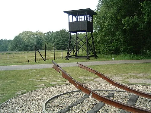 Police Custody Camp Westerbork Historic site, Gemeente Midden-Drenthe5.6 km NW
-
Breiberg Mountain, Coevorden15 km S
-
Bendersche Berg Mountain, Gemeente Westerveld18 km W
-
Hunnenkloosterberg Mountain, Gemeente De Wolden22 km SW
Sources & licences
Data last updated: · 2 independent sources