Leutingewolde
Located in Gemeente Noordenveld, Drenthe Coordinates: 53°09′30″ N 6°25′55″ E
- Population
- 130
- 130
- Elevation
- -1 m
- above sea level
- Local time
- UTC+01:00
- Europe/Amsterdam · UTC+01:00
About Leutingewolde
Leutingewolde is a village. Location: Gemeente Noordenveld, Drenthe. Population: 130. Elevation: -1 m.
Leutingewolde is a hamlet in the Netherlands and it is part of the Noordenveld municipality in Drenthe. Leutingewolde is a statistical entity, and has its own postal code. It was first mentioned around 1335 as Lockincwolde and probably means "the forest of people of Luto". The hamlet mainly consists of farms along a road. The population in 1840 was 118 people.
Read more on Wikipedia Text: Wikipedia contributors · CC BY-SA 4.0 · shortened
In comparison
- No. 14 of 21 places in Gemeente Noordenveld by population
- Nearest larger town: Foxwolde, 2 km E
Nearby attractions & nature
Everything nearby-
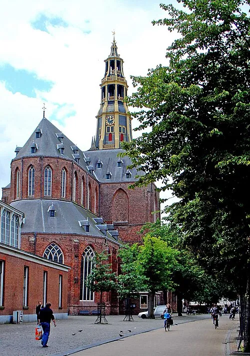 Der Aa-kerk Attraction, Groningen. Municipality11 km NE
-
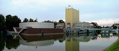 Groninger Museum Museum, Groningen. Municipality11 km NE
-
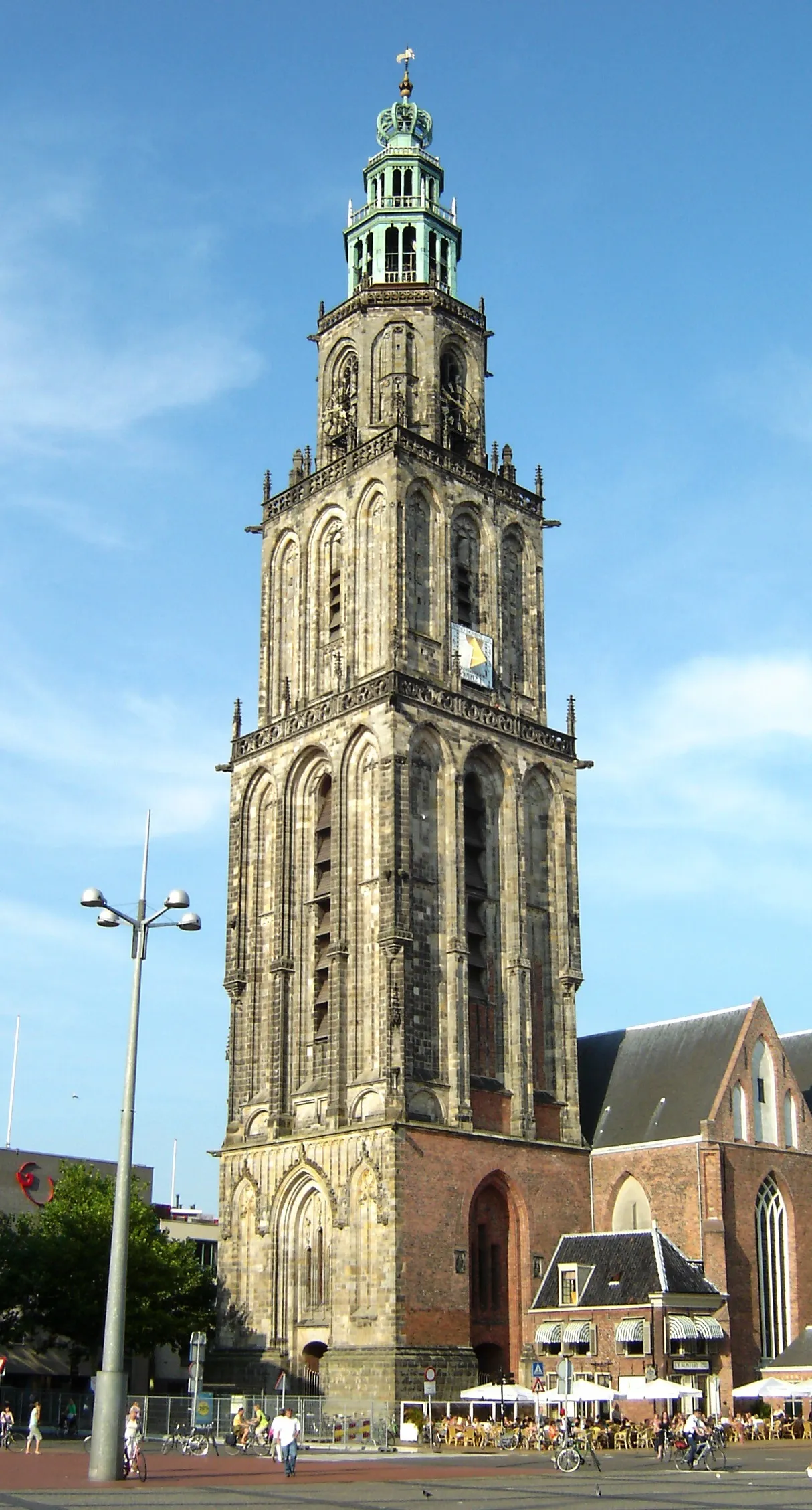 Martinitoren Landmark, Groningen. Municipality11 km NE
-
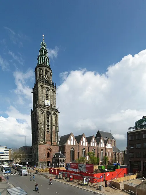 Martinikerk Attraction, Groningen. Municipality11 km NE
-
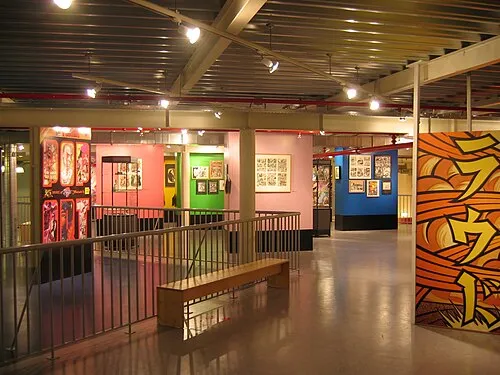 Nederlands Stripmuseum Museum, Groningen. Municipality11 km NE
-
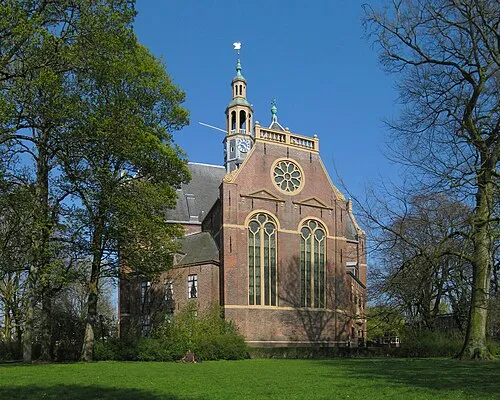 Nieuwe Kerk Attraction, Groningen. Municipality11 km NE
Sources & licences
Data last updated: · 2 independent sources