- Population
- 195
- 195
- Elevation
- 7 m
- above sea level
- Local time
- UTC+01:00
- Europe/Amsterdam · UTC+01:00
- Airports
- GRQ Groningen Airport Eelde9 km
- FMO Münster Osnabrück Airport136 km
About Langelo
Langelo is a village. Location: Gemeente Noordenveld, Drenthe. Population: 195. Elevation: 7 m.
Langelo is a village located in the Netherlands, part of the Noordenveld municipality in Drenthe. Langelo is an esdorp which developed in the middle ages on the higher grounds. It contains two triangular communal pastures. It first appeared in 1225 as Rodolphus de Langele and means "long forest". In 1840, it was home to 125 people. The village is noted for several historic farms, the oldest of which dates to 1792.
Source: Wikipedia · CC BY-SA 4.0
Climate of Langelo
Best months for sightseeingBest months for sightseeing: June–August.
This month · November
A cold month
Day 9° · Night 3° · Rain 86 mm
- Hottest month
- August (day 22°)
- Coldest month
- February (night -1°)
- Wettest month
- November (86 mm)
- Driest month
- April (49 mm)
Bars: average monthly low and high temperature. Below: precipitation. Monthly averages for 1970–2000 at about 18 km resolution, adjusted for elevation. Highlighted months are mild and relatively dry. Source: WorldClim 2.1 (CC BY 4.0).
Show values as a table
| Month | Jan | Feb | Mar | Apr | May | Jun | Jul | Aug | Sep | Oct | Nov | Dec |
|---|---|---|---|---|---|---|---|---|---|---|---|---|
| Average high (°C) | 4° | 5° | 8° | 12° | 17° | 19° | 21° | 22° | 18° | 14° | 9° | 5° |
| Average low (°C) | -1° | -1° | 1° | 3° | 7° | 10° | 12° | 11° | 9° | 6° | 3° | 1° |
| Precipitation (mm) | 74 | 52 | 65 | 49 | 58 | 75 | 77 | 63 | 78 | 77 | 86 | 81 |
How to get to Langelo
The nearest airport is Groningen Airport Eelde (GRQ), 9 km to the east as the crow flies. The nearest large city is Groningen, 16 km to the northeast.
Airports
- Groningen Airport Eelde (GRQ) Groningen 9 kmeast
- Münster Osnabrück Airport (FMO) Greven 136 kmsoutheast
- Amsterdam Airport Schiphol (AMS) Amsterdam 143 kmsouthwest
Nearby large cities
- Groningen Population: 244.8K 16 kmnortheast
- Leeuwarden Population: 124.5K 44 kmwest
- Zwolle Population: 129.8K 69 kmsouth
- Enschede Population: 153.7K 102 kmsouth
- Apeldoorn Population: 136.7K 103 kmsouth
Straight-line distances; road distances are longer. Airport data: OurAirports.
Nearby attractions & nature
Everything nearby-
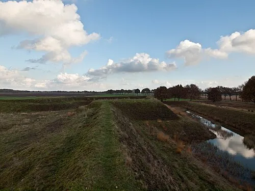 Zwartendijksterschans Historic site, Gemeente Noordenveld6.3 km W
-
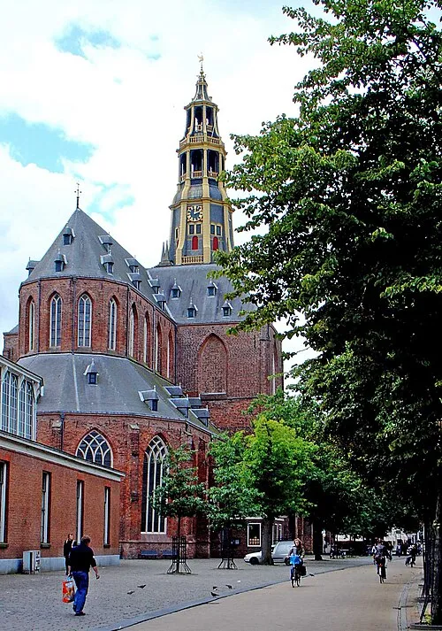 Der Aa-kerk Attraction, Groningen. Municipality16 km NE
-
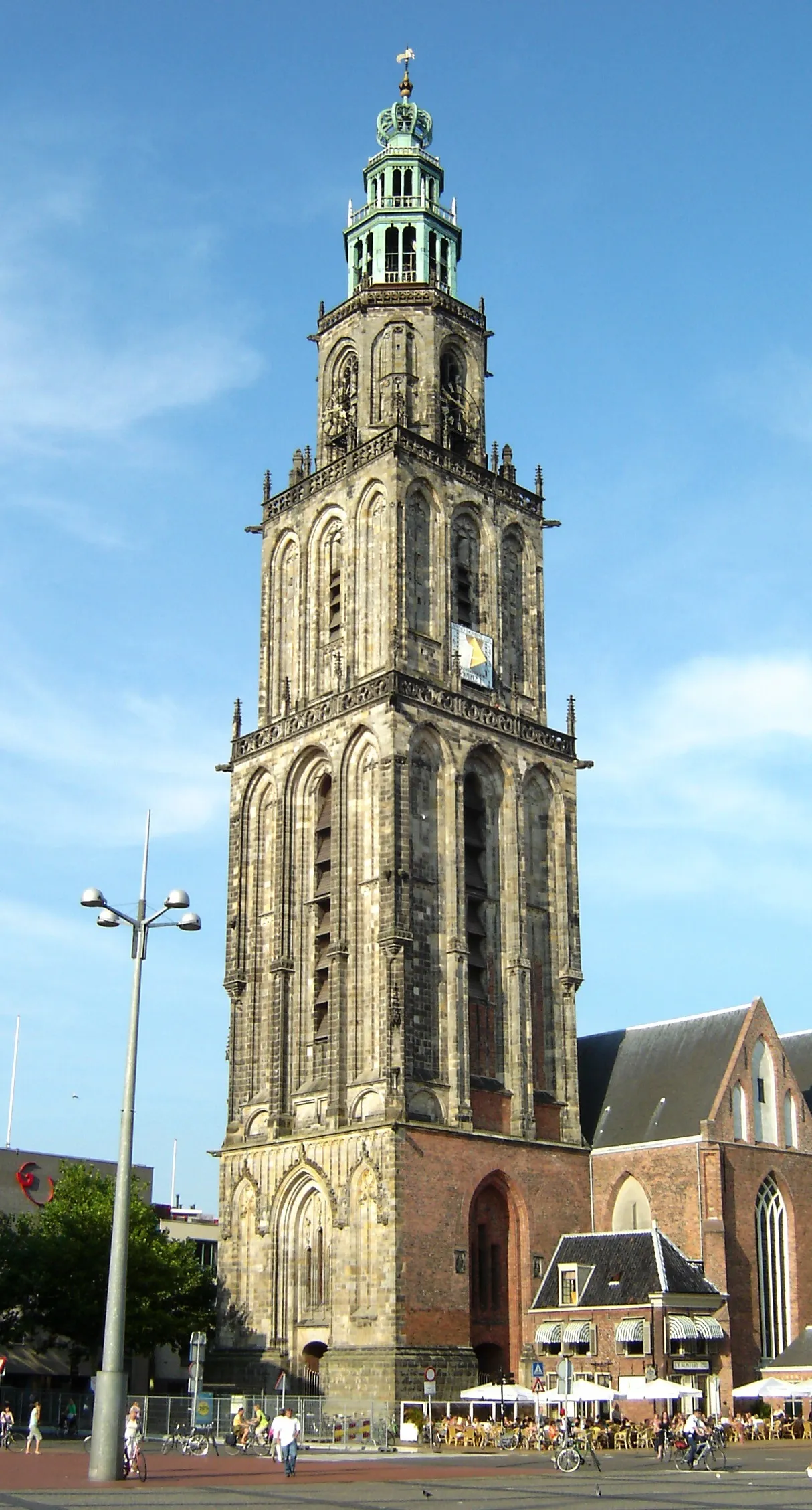 Martinitoren Landmark, Groningen. Municipality16 km NE
-
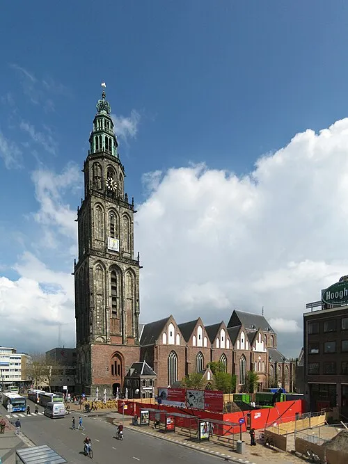 Martinikerk Attraction, Groningen. Municipality16 km NE
-
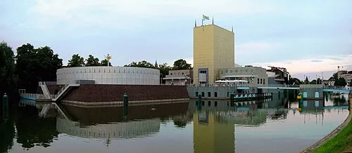 Groninger Museum Museum, Groningen. Municipality15 km NE
-
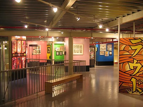 Nederlands Stripmuseum Museum, Groningen. Municipality16 km NE
Sources & licences
Data last updated: · 2 independent sources