Almere Poort
Located in Gemeente Almere, Flevoland Coordinates: 52°20′53″ N 5°09′15″ E
- Elevation
- -3 m
- above sea level
- Local time
- UTC+01:00
- Europe/Amsterdam · UTC+01:00
About Almere Poort
Almere Poort is a village. Location: Gemeente Almere, Flevoland. Elevation: -3 m.
Almere Poort is a borough (stadsdeel) of Almere, Netherlands. It is the newest part of what is a new city itself, with the first building completed only in 2005. Although Almere is a planned city, Almere Poort was not in the original city plans, but is rather a result of revised urban planning in accordance to Almere's more recent development plans assuming much higher target population and more prominent role as a satellite urban centre to Amsterdam.
Read more on Wikipedia Text: Wikipedia contributors · CC BY-SA 4.0 · shortened
In comparison
- Nearest larger town: Almere Duin, 1 km SW
- 5 sights and natural places within 10 km Bait-ul-Afiyat, Muiderslot
Nearby attractions & nature
Everything nearby-
Bait-ul-Afiyat Attraction, Gemeente Almere0.5 km E
-
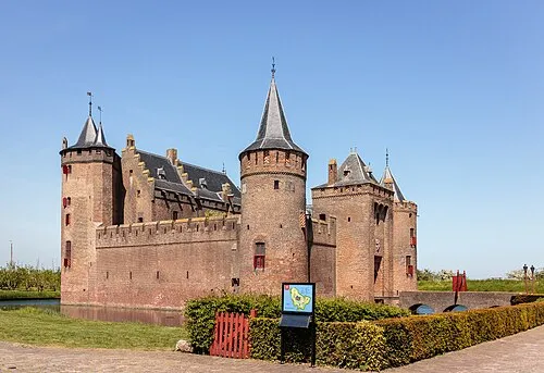 Muiderslot Historic site, Gooise Meren5.9 km W
-
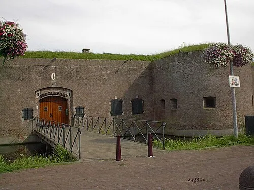 Mouse Fort Historic site, Gooise Meren6 km W
-
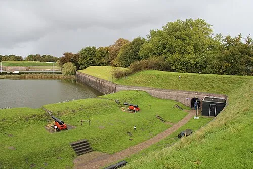 Dutch Fortress Museum Historic site, Gooise Meren6.2 km S
-
Eikenberg Mountain, Gooise Meren6.2 km SE
-
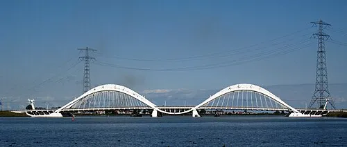 Enneüs Heerma Bridge Landmark, North Holland12 km W
Sources & licences
Data last updated: · 2 independent sources